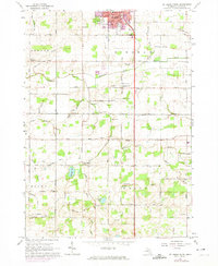
1965 Map of St. Johns South
USGS Topo · Published 1974About this map
The southern outskirts of St Johns transition into a landscape of drainage networks and small rural hubs in this mid-1960s study of Clinton County. Residential growth is visible at the city's edge, including the Trailer Park and Central Park, while the surrounding townships of Bengal, Bingham, Riley, and Olive remain defined by agriculture and local institutions. The map records a high density of country schools, such as the Lamb Sch and Stony Creek Sch, many of which served as the social heart of their respective sections before rural school consolidation was fully realized.
Find a feature on this map
61 named features on this map. Tap any name to fly to it.
Don’t see what you’re looking for? This feature index may not catch every label — zoom into the map to look around manually.
Map Details
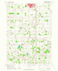
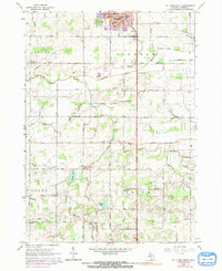
Editions of this 1965 St. Johns South Map
3 editions found
Other maps of this area

1918 · Elsie
USGS Topo · 1:62,500

1918 · Perrinton
USGS Topo · 1:62,500

1927 · De Witt
USGS Topo · 1:62,500

1928 · Laingsburg
USGS Topo · 1:62,500

1943 · Perrinton
USGS Topo · 1:62,500

1943 · Elsie
USGS Topo · 1:62,500

1944 · Laingsburg
USGS Topo · 1:62,500

1954 · Midland
USGS Topo · 1:250,000

1958 · Midland
USGS Topo · 1:250,000

1958 · Grand Rapids
USGS Topo · 1:250,000