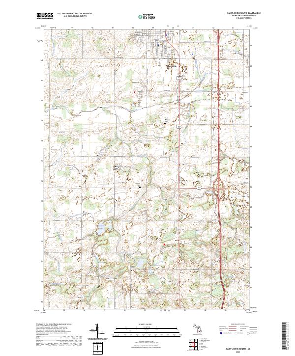
2023 Map of Saint Johns South
USGS Topo · Published 2023About this map
The southern periphery of St. Johns defines the northern edge of this map, transitioning quickly from grid-aligned residential streets like S Clinton Ave and S Oakland St into the agricultural landscape of Clinton County. This rural interior is heavily marked by an intricate network of drainage systems, such as the Spaulding Drain and Locher Drain, which have historically facilitated the cultivation of the area's flat terrain. These man-made channels intersect with natural water bodies like Muskrat Lake and the meandering Stony Creek. For local historians and genealogists, the map preserves the locations of several burial sites including South Bingham Cem and Merihew Cem, while the inclusion of Howard Airfield highlights the region's mid-century aviation infrastructure.
Find a feature on this map
81 named features on this map. Tap any name to fly to it.
Don’t see what you’re looking for? This feature index may not catch every label — zoom into the map to look around manually.
Map Details
Editions of this 2023 Saint Johns South Map
This is the sole edition of this map. No revisions or reprints were ever made.
Other maps of this area

1918 · Elsie
USGS Topo · 1:62,500

1918 · Perrinton
USGS Topo · 1:62,500

1927 · De Witt
USGS Topo · 1:62,500

1928 · Laingsburg
USGS Topo · 1:62,500

1943 · Perrinton
USGS Topo · 1:62,500

1943 · Elsie
USGS Topo · 1:62,500

1944 · Laingsburg
USGS Topo · 1:62,500

1954 · Midland
USGS Topo · 1:250,000

1958 · Midland
USGS Topo · 1:250,000

1958 · Grand Rapids
USGS Topo · 1:250,000