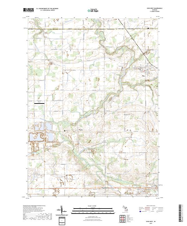
2023 Map of Ovid West
USGS Topo · Published 2023About this map
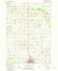
The Maple River meanders through the heart of the landscape along the Gratiot Co and Clinton Co line, defining a region where agricultural networks meet historic village centers. The village of Elsie sits in the northeast, characterized by its traditional grid and proximity to Riverside Cem and the Elsie Village Cem. Further south and west, the smaller settlements of Duplain, Shepardsville, and the northern edge of Ovid are linked by a dense web of section roads and drainage systems like the Duplain and Ovid Drain.
Find a feature on this map
58 named features on this map. Tap any name to fly to it.
Don’t see what you’re looking for? This feature index may not catch every label — zoom into the map to look around manually.
Map Details
Editions of this 2023 Ovid West Map
This is the sole edition of this map. No revisions or reprints were ever made.
Historical Maps of Ovid Through Time
13 maps found
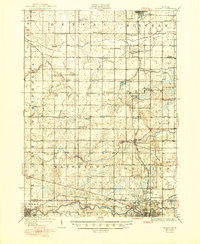
1927 De Witt
Clinton County, MI
1965 Lansing North
Clinton County, MI
1965 Riley
Clinton County, MI
1965 St. Johns North
Clinton County, MI
1965 St. Johns South
Clinton County, MI
1972 Price
Clinton County, MI
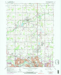
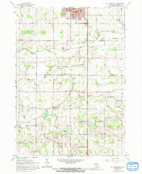
1974 Ovid West
Clinton County, MI
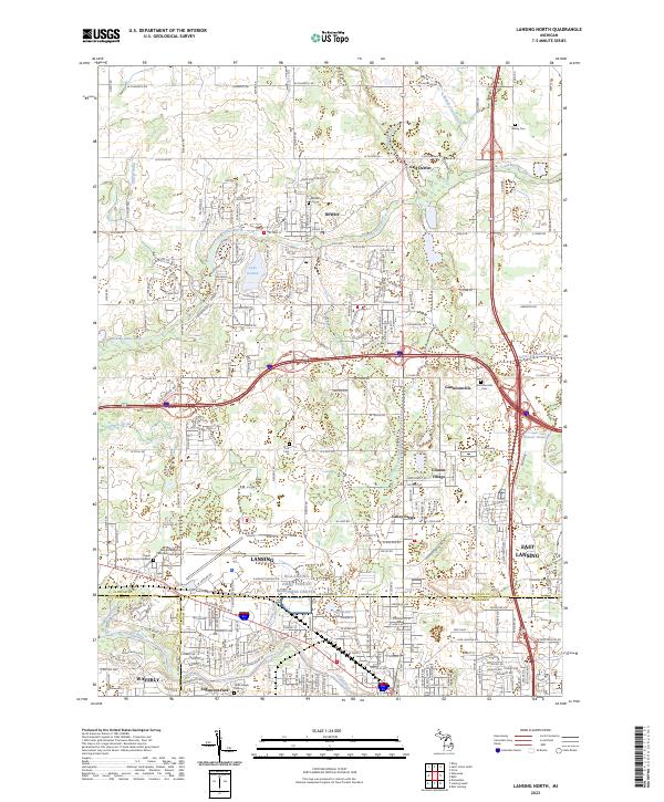
2023 Lansing North
Clinton County, MI
2023 Ovid West
Clinton County, MI
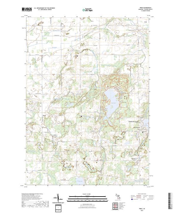
2023 Price
Clinton County, MI
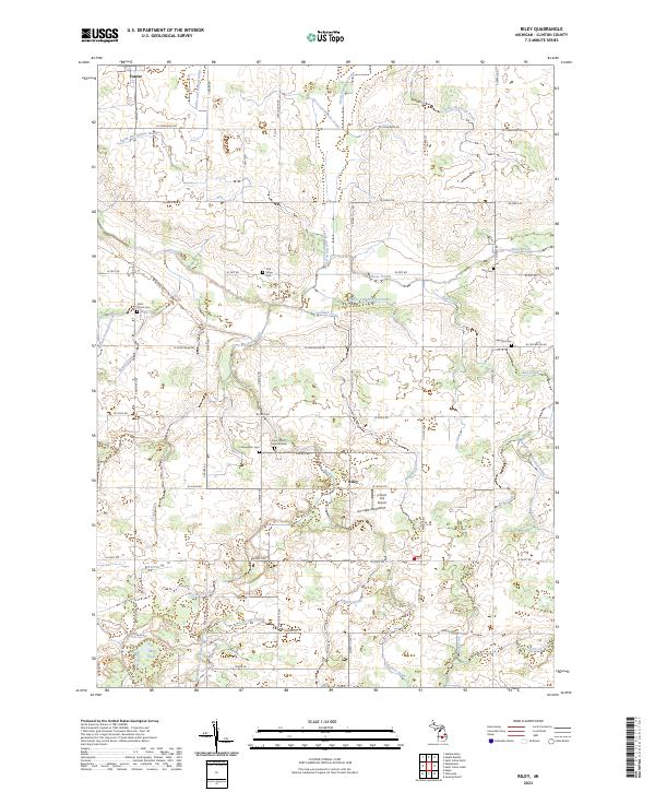
2023 Riley
Clinton County, MI
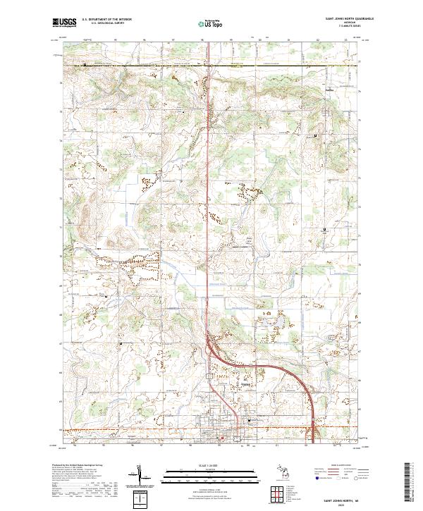
2023 Saint Johns North
Clinton County, MI
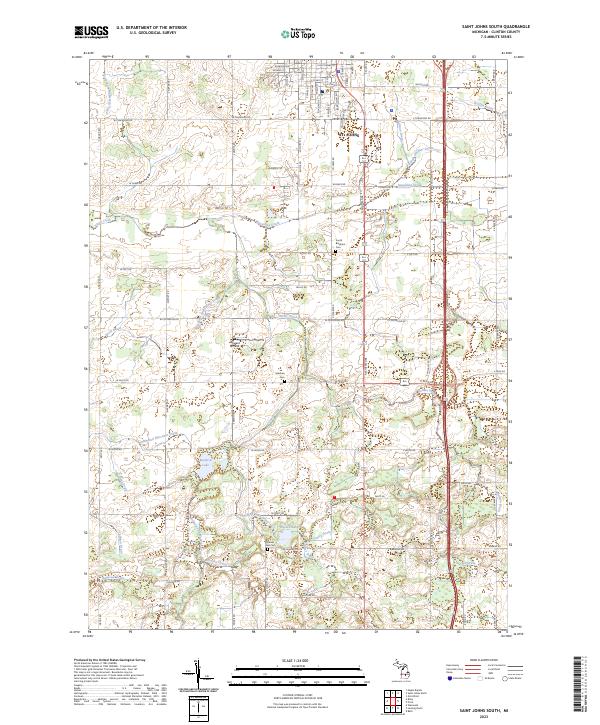
2023 Saint Johns South
Clinton County, MI
Featured Locations
- Elba Township, MI
- Bingham Township, MI
- Duplain, Duplain Township
- Elsie, Duplain Township
- Ovid, Ovid Township