Old Maps of Riley Township, Michigan for Academic Research
Study the evolution of Riley Township with 29 high-resolution historic maps. Whether you're teaching, researching, or modeling changes in land use, these maps provide essential visual documentation of urban, environmental, and geographic change.
- Analyze long-term change: Track patterns in development, transportation, and natural features.
- Ideal for environmental or urban studies: Support academic projects with primary historical map data.
- Use in the classroom or lab: Educators and researchers rely on these maps to bring historical context to life.
These maps are a powerful tool for teaching, research, and visualizing how Riley Township has changed over the decades.
Riley Township, MI maps
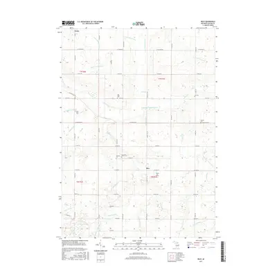
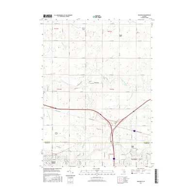
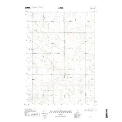
(29)- 1927 Map of De Witt
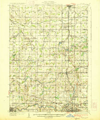 1927 De Witt1927 Print · USGSClinton County and its neighbors are captured here in the 1920s, showing a landscape of small farming townships and river-fed settlements. Researchers can trace dozens of rural school sites like Bengal Center School and local landmarks like Oak Ridge Cemetery or the Wilsey Church.3 unique versions available
 - 1958 Map of Grand Rapids, 1973 Print
 1958 Grand Rapids1973 Print · USGSSouthern Michigan at the peak of the postwar era shows a landscape of burgeoning cities and new interstate highways. Trace family roots and regional growth in Grand Rapids, Battle Creek, and the glacial lake country around Gun Lake or Gull Lake.2 unique versions available
 - 1961 Map of Grand Rapids
 1961 Grand Rapids1961 Print · USGSSouthern Michigan at the dawn of the 1960s reveals a region shaped by major river systems and a robust rail network. Trace mid-century industrial growth and land use from Grand Rapids to the Fort Custer Military Reservation and Gun Lake.
 - 1962 Map of Grand Rapids
 1962 Grand Rapids1962 Print · USGSMid-century Southern Michigan is mapped here at a time of massive growth, showing the expanding urban footprints of Grand Rapids and Lansing. Researchers can trace the legacy of the Grand Trunk Western RR, find historic boundaries of the Fort Custer Military Reservation, or locate sporting camps around Gun Lake.2 unique versions available
 - 1965 Map of St. Johns South, 1967 Print
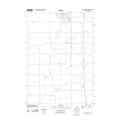
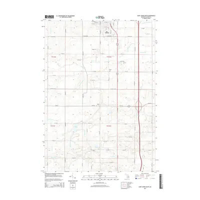
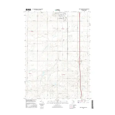
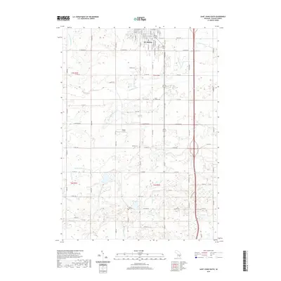
 1965 St. Johns South1967 Print · USGSMid-century Clinton County comes alive in this survey of the farmlands south of St. Johns. Genealogists and local historians can trace schoolhouse locations like County Farm Sch and family landmarks near Merle Beach and Bengal Ch.3 unique versions available
 - 1965 Map of Wacousta, 1967 Print
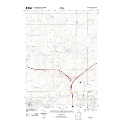
 1965 Wacousta1967 Print · USGSMid-Michigan's agricultural and riverfront communities are captured here in the mid-1960s, showing the early growth of Grand Ledge and Wacousta. Researchers can trace old family sites near South Riley Cem, identify rural schoolhouses like Kincaid Sch, and locate regional transport hubs from Pohls Airpark to the Chesapeake and Ohio line.2 unique versions available
 - 1965 Map of Lansing North, 1967 Print
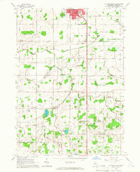
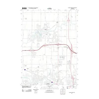
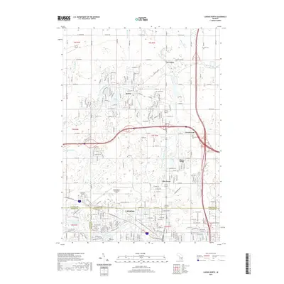
 1965 Lansing North1967 Print · USGSThe northern reaches of Lansing and the rural DeWitt area come to life in this mid-sixties survey. Researchers can trace family history at St Joseph Cemetery, locate old schoolhouses like Brown Sch, and follow the New York Central Railroad corridor.3 unique versions available
 - 1965 Map of Riley, 1967 Print
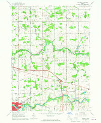
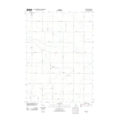
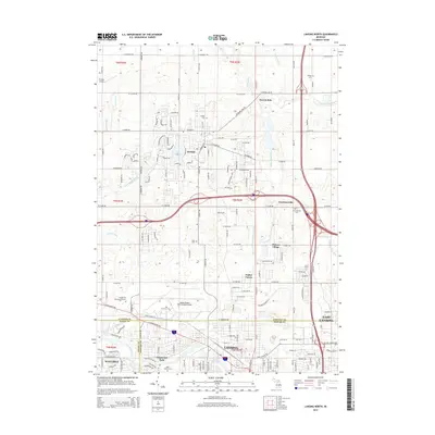
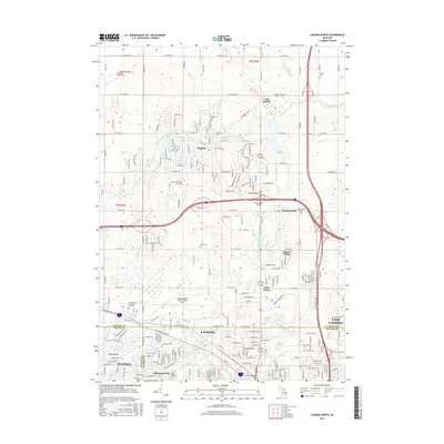
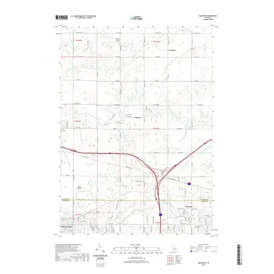
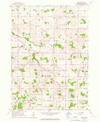 1965 Riley1967 Print · USGSMid-Michigan farm country in the mid-sixties reveals a detailed network of agricultural drains and rural community life near Riley and Bengal Center. Genealogists can trace early landmarks such as Oak Ridge Cem, St Pauls Cem, and Harper Sch.2 unique versions available
 - 1983 Map of Lansing, 1984 Print
 1983 Lansing1984 Print · USGSThe Lansing area and its surrounding river valleys are captured here in the early eighties. Genealogists and historians can trace the rail corridors of the Conrail or locate local landmarks like St Johns Ch and Greenwood Cem.
 - 2011 Map of Wacousta, 2011 Print
 2011 Wacousta2011 Print · USGSCovers Riley Township, including Grand Ledge, Watertown Charter Township, and other nearby areas
 - 2011 Map of Saint Johns South, 2011 Print
 2011 Saint Johns South2011 Print · USGSCovers Riley Township, including St. Johns, Bengal Township, and other nearby areas
 - 2011 Map of Lansing North, 2011 Print
 2011 Lansing North2011 Print · USGSCovers Riley Township, including Lansing, East Lansing, and other nearby areas
 - 2012 Map of Riley, 2012 Print
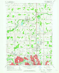
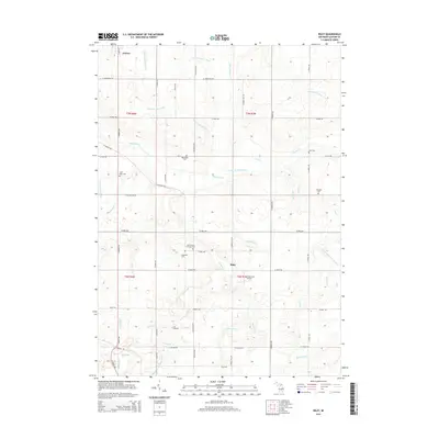
 2012 Riley2012 Print · USGSCovers Riley Township, including Riley, Fowler, and other nearby areas
 - 2014 Map of Riley, 2014 Print
 2014 Riley2014 Print · USGSCovers Riley Township, including Riley, Fowler, and other nearby areas
 - 2014 Map of Wacousta, 2014 Print
 2014 Wacousta2014 Print · USGSCovers Riley Township, including Grand Ledge, Watertown Charter Township, and other nearby areas
 - 2014 Map of Saint Johns South, 2014 Print
 2014 Saint Johns South2014 Print · USGSCovers Riley Township, including St. Johns, Bengal Township, and other nearby areas
 - 2014 Map of Lansing North, 2014 Print
 2014 Lansing North2014 Print · USGSCovers Riley Township, including Lansing, East Lansing, and other nearby areas
 - 2017 Map of Riley, 2017 Print
 2017 Riley2017 Print · USGSCovers Riley Township, including Riley, Fowler, and other nearby areas
 - 2017 Map of Lansing North, 2017 Print
 2017 Lansing North2017 Print · USGSCovers Riley Township, including Lansing, East Lansing, and other nearby areas
 - 2017 Map of Saint Johns South, 2017 Print
 2017 Saint Johns South2017 Print · USGSCovers Riley Township, including St. Johns, Bengal Township, and other nearby areas
 - 2017 Map of Wacousta, 2017 Print
 2017 Wacousta2017 Print · USGSCovers Riley Township, including Grand Ledge, Watertown Charter Township, and other nearby areas
 - 2019 Map of Lansing North, 2019 Print
 2019 Lansing North2019 Print · USGSCovers Riley Township, including Lansing, East Lansing, and other nearby areas
 - 2019 Map of Saint Johns South, 2019 Print
 2019 Saint Johns South2019 Print · USGSCovers Riley Township, including St. Johns, Bengal Township, and other nearby areas
 - 2019 Map of Wacousta, 2019 Print
 2019 Wacousta2019 Print · USGSCovers Riley Township, including Grand Ledge, Watertown Charter Township, and other nearby areas
 - 2019 Map of Riley, 2019 Print
 2019 Riley2019 Print · USGSCovers Riley Township, including Riley, Fowler, and other nearby areas
Showing maps 1-25 of 29
Top cities near Riley Township
- Lansing historical maps
- East Lansing historical maps
- Grand Ledge historical maps
- St. Johns historical maps
- DeWitt historical maps
- Portland historical maps
See more
Top neighborhoods of Riley Township
Frequently asked questions
- What are the different types of historical maps available for Riley Township?
- What is the oldest map of Riley Township?
- Where can I purchase historical maps of Riley Township for my home or office?
- Where can I download high-res historical maps of Riley Township?
- Are there historical topographic maps available for Riley Township?
- Is there historical aerial imagery available for Riley Township?
- Where are historical maps of Riley Township sourced from?