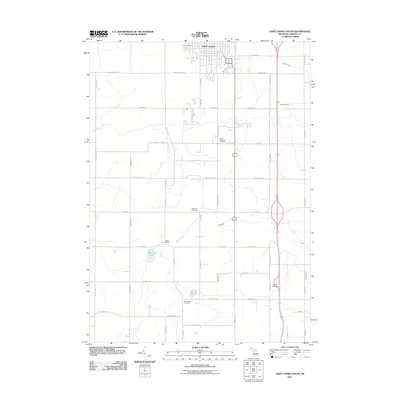
2011 Map of Saint Johns South
USGS Topo · Published 2011About this map
Saint Johns anchors the northern edge of this Michigan landscape, where the street grid of the county seat transitions into a methodical agricultural layout defined by an extensive drainage system. Local water management is evident in the numerous named channels like Kniffin Drain, Spaulding Drain, and Hamilton Drain, which support the surrounding farmland. The area is marked by long-standing rural landmarks, including the South Bingham Cemetery and Merihew Cemetery, serving as vital reference points for genealogists and local historians studying Clinton County families.
Find a feature on this map
49 named features on this map. Tap any name to fly to it.
Don’t see what you’re looking for? This feature index may not catch every label — zoom into the map to look around manually.
Map Details
Editions of this 2011 Saint Johns South Map
This is the sole edition of this map. No revisions or reprints were ever made.
Other maps of this area

1918 · Elsie
USGS Topo · 1:62,500

1918 · Perrinton
USGS Topo · 1:62,500

1927 · De Witt
USGS Topo · 1:62,500

1928 · Laingsburg
USGS Topo · 1:62,500

1943 · Perrinton
USGS Topo · 1:62,500

1943 · Elsie
USGS Topo · 1:62,500

1944 · Laingsburg
USGS Topo · 1:62,500

1954 · Midland
USGS Topo · 1:250,000

1958 · Midland
USGS Topo · 1:250,000

1958 · Grand Rapids
USGS Topo · 1:250,000