Old Maps of Schaffer, Bark River Township for Academic Research
Study the evolution of Schaffer with 12 high-resolution historic maps. Whether you're teaching, researching, or modeling changes in land use, these maps provide essential visual documentation of urban, environmental, and geographic change.
- Analyze long-term change: Track patterns in development, transportation, and natural features.
- Ideal for environmental or urban studies: Support academic projects with primary historical map data.
- Use in the classroom or lab: Educators and researchers rely on these maps to bring historical context to life.
These maps are a powerful tool for teaching, research, and visualizing how Schaffer has changed over the decades.
Schaffer, Bark River Township maps
(12)- 1932 Map of Whitney SE
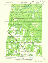 1932 Whitney SE1932 Print · USGSLower Peninsula timber country comes to life in this early 1930s survey of the Menominee and Delta county line. Genealogists can trace family roots at Schaffer Cem or locate the old Tenmile Sch and Eustis Sta along the historic rail lines.
 - 1954 Map of Escanaba, 1967 Print
 1954 Escanaba1967 Print · USGSThe Upper Peninsula and Door County shorelines meet here in the mid-fifties, showing the vital maritime and timber networks of the Great Lakes. Researchers can trace historic rail lines, old fire lookouts like the Stonington Fire Tower, and island settlements such as Washington Island.2 unique versions available
 - 1957 Map of Escanaba
 1957 Escanaba1957 Print · USGSThe Upper Peninsula and Door County shorelines meet in the mid-fifties, capturing a landscape of timber, iron, and maritime trade. Genealogists and local historians can trace the Chicago & North Western RR through settlements like Hermansville or locate St Vitals Church and the Potawatome Indian Reservation.
 - 1958 Map of Escanaba
 1958 Escanaba1958 Print · USGSNorthern Lake Michigan maritime commerce and timberlands are captured here in the mid-fifties. Genealogists and historians can trace rail networks like the Escanaba and Lake Superior or locate island settlements such as Detroit Harbor and Fish Creek.
 - 1963 Map of Schaffer, 1965 Print
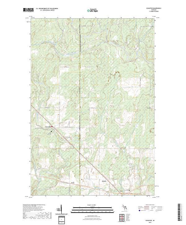
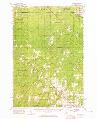 1963 Schaffer1965 Print · USGSUpper Peninsula timber and rail corridors define the landscape in the early sixties, showing the vital connections between the forests and regional industry. Researchers can trace the legacy of small settlements like Perronville and Schaffer or locate the Cornell Ch and Schaffer Cem along the Ford River.2 unique versions available
 - 1982 Map of Escanaba
 1982 Escanaba1982 Print · USGSUpper Peninsula timber and mining country come to life in this early 1980s survey of the lakefront and forest interior. Trace family roots and industrial history through settlements like Norway and Gladstone, or locate the Appleton Mine and Fernwood Cem near the rail lines.
 - 1989 Map of Schaffer
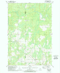 1989 Schaffer1989 Print · USGSThe Upper Peninsula borderlands near the Menominee and Delta County line are shown here in the late eighties, featuring a landscape shaped by forest and wetlands. Researchers can trace the Old Railroad Grade near Schaffer or locate family sites at St Michaels Cem and Perronville.
 - 2011 Map of Schaffer, 2011 Print
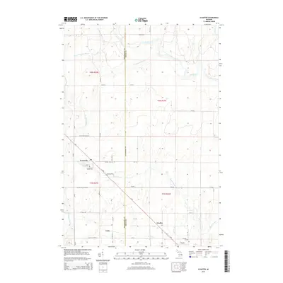
 2011 Schaffer2011 Print · USGSCovers Schaffer, including Ford River Township, Harris Township, and other nearby areas
 - 2014 Map of Schaffer, 2014 Print
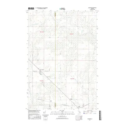
 2014 Schaffer2014 Print · USGSCovers Schaffer, including Ford River Township, Harris Township, and other nearby areas
 - 2017 Map of Schaffer, 2017 Print
 2017 Schaffer2017 Print · USGSCovers Schaffer, including Ford River Township, Harris Township, and other nearby areas
 - 2019 Map of Schaffer, 2019 Print
 2019 Schaffer2019 Print · USGSCovers Schaffer, including Ford River Township, Harris Township, and other nearby areas
 - 2023 Map of Schaffer, 2023 Print
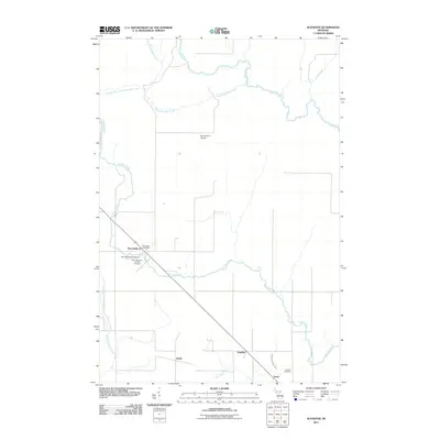
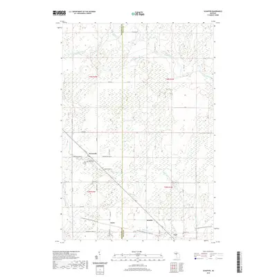
 2023 Schaffer2023 Print · USGSThe rural landscapes of Delta and Menominee Counties are showcased in this recent survey of the Michigan Upper Peninsula. Researchers can trace the heritage of small settlements like Perronville and Schaffer or locate burial sites at Sacred Heart Cem.
End of results
Showing maps 1-12 of 12
Top cities near Schaffer
- Escanaba historical maps
- Wells historical maps
- Ford River historical maps
- Harris historical maps
- Spalding historical maps
- Bark River historical maps
See more
Frequently asked questions
- What are the different types of historical maps available for Schaffer?
- What is the oldest map of Schaffer?
- Where can I purchase historical maps of Schaffer for my home or office?
- Where can I download high-res historical maps of Schaffer?
- Are there historical topographic maps available for Schaffer?
- Is there historical aerial imagery available for Schaffer?
- Where are historical maps of Schaffer sourced from?