Old Maps of Brampton Township, Michigan for Genealogy
Trace your family roots with 16 historic maps of Brampton Township. These high-res maps reveal old neighborhoods, homesites, landmarks, and streets — helping you uncover where your ancestors lived and how the area evolved over time.
- Explore historic neighborhoods: Identify where your relatives may have lived in the 1800s or 1900s.
- Compare maps over time: Trace the changes in streets, buildings, and landmarks for multi-generational research.
- Perfect for genealogy & ancestry research: Used by family historians and researchers to map out lineage and migration.
These maps are an incredible resource for exploring your personal connection to Brampton Township's past.
Brampton Township, MI maps
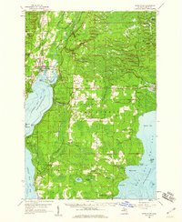
(16)- 1932 Map of Gladstone NE
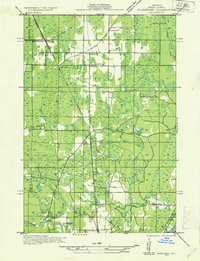 1932 Gladstone NE1932 Print · USGSCovers Brampton Township, including Brampton, Beaver, and other nearby areas2 unique versions available
 - 1932 Map of Gladstone SE
 1932 Gladstone SE1932 Print · USGSCovers Brampton Township, including Escanaba, Gladstone, and other nearby areas2 unique versions available
 - 1932 Map of Rapid River NW
 1932 Rapid River NW1932 Print · USGSCovers Brampton Township, including Alton, Garth, and other nearby areas2 unique versions available
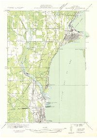
 - 1954 Map of Escanaba, 1967 Print
 1954 Escanaba1967 Print · USGSCovers Brampton Township, including Escanaba, Marinette, and other nearby areas2 unique versions available
 - 1957 Map of Escanaba
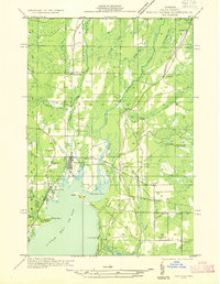
 1957 Escanaba1957 Print · USGSCovers Brampton Township, including Escanaba, Marinette, and other nearby areas
 - 1958 Map of Escanaba
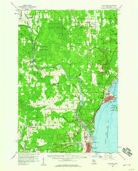
 1958 Escanaba1958 Print · USGSCovers Brampton Township, including Escanaba, Marinette, and other nearby areas
 - 1958 Map of Gladstone, 1959 Print
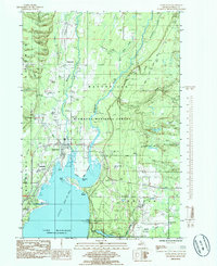
 1958 Gladstone1959 Print · USGSCovers Brampton Township, including Escanaba, Gladstone, and other nearby areas
 - 1958 Map of Rapid River, 1960 Print
 1958 Rapid River1960 Print · USGSCovers Brampton Township, including Gladstone, Ensign, and other nearby areas2 unique versions available
 - 1982 Map of Escanaba
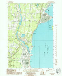
 1982 Escanaba1982 Print · USGSCovers Brampton Township, including Escanaba, Gladstone, and other nearby areas
 - 1983 Map of Manistique
 1983 Manistique1983 Print · USGSCovers Brampton Township, including Gladstone, Manistique, and other nearby areas
 - 1985 Map of Rapid River
 1985 Rapid River1985 Print · USGSCovers Brampton Township, including Alton, Garth, and other nearby areas
 - 1985 Map of Perkins
 1985 Perkins1985 Print · USGSCovers Brampton Township, including Brampton, Beaver, and other nearby areas
 - 1985 Map of Gladstone
 1985 Gladstone1985 Print · USGSCovers Brampton Township, including Escanaba, Gladstone, and other nearby areas
 - 2023 Map of Rapid River, 2023 Print
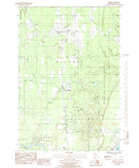
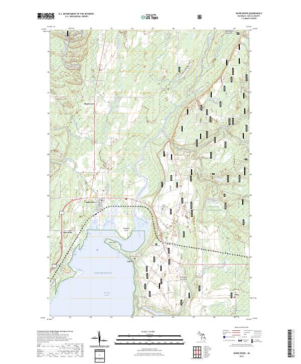 2023 Rapid River2023 Print · USGSCovers Brampton Township, including Ensign Township, Garth, and other nearby areas
 - 2023 Map of Gladstone, 2023 Print
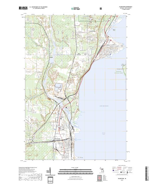 2023 Gladstone2023 Print · USGSCovers Brampton Township, including Escanaba, Gladstone, and other nearby areas
 - 2023 Map of Perkins, 2023 Print
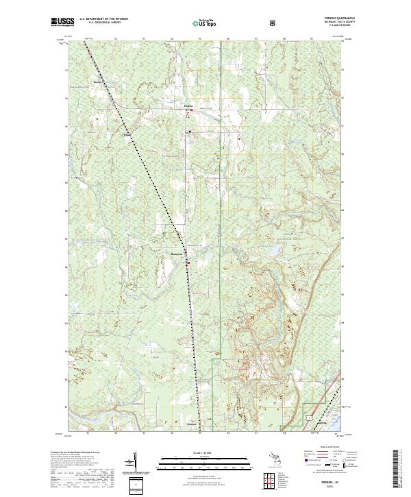 2023 Perkins2023 Print · USGSCovers Brampton Township, including Brampton, Escanaba Township, and other nearby areas
End of results
Showing maps 1-16 of 16
Top cities near Brampton Township
- Escanaba historical maps
- Gladstone historical maps
- Wells historical maps
- Brampton historical maps
- Ensign historical maps
- Cornell historical maps
Top neighborhoods of Brampton Township
Frequently asked questions
- What are the different types of historical maps available for Brampton Township?
- What is the oldest map of Brampton Township?
- Where can I purchase historical maps of Brampton Township for my home or office?
- Where can I download high-res historical maps of Brampton Township?
- Are there historical topographic maps available for Brampton Township?
- Is there historical aerial imagery available for Brampton Township?
- Where are historical maps of Brampton Township sourced from?