Old Maps of Brampton Township, Michigan for Metal Detecting
Plan your next treasure hunt with 28 historic maps of Brampton Township. Find old homesites, ghost towns, trails, and gathering spots that may be lost to time — perfect for identifying promising metal detecting locations.
- Locate forgotten sites: Uncover places like long-lost settlements, abandoned rail lines, or gathering spots.
- Plan better hunts: Use map overlays combined with LiDAR or satellite views to narrow in on historically rich areas.
- Made for detectorists: Thousands of hobbyists use these maps to discover relics, coins, and hidden history.
Use these historic maps to boost your research and find new opportunities beneath the surface of Brampton Township.
Brampton Township, MI maps
(28)- 1932 Map of Gladstone NE
 1932 Gladstone NE1932 Print · USGSThe Delta County timberlands and rail corridors are captured here in the early 1930s. Genealogists and researchers can trace the locations of family-named landmarks like Youngs School, Chaison School, and the St Josephs Cem near Perkins.2 unique versions available
 - 1932 Map of Gladstone SE
 1932 Gladstone SE1932 Print · USGSThe industrial shoreline of Delta County is captured here in the early thirties as the timber and ore trade shaped the coast. Genealogists can locate family landmarks like Fernwood Cem or Soo Hill Sch while tracing the massive C & NW Docks and rail lines.2 unique versions available
 - 1932 Map of Rapid River NW
 1932 Rapid River NW1932 Print · USGSUpper Peninsula life in the early thirties centers on the confluence of rivers and rails at the head of Little Bay De Noc. Genealogists can trace family footprints at Bethany Ch, Rapid River Cem, and local schools like Fuhirman Sch.2 unique versions available
 - 1954 Map of Escanaba, 1967 Print
 1954 Escanaba1967 Print · USGSThe Upper Peninsula and Door County shorelines meet here in the mid-fifties, showing the vital maritime and timber networks of the Great Lakes. Researchers can trace historic rail lines, old fire lookouts like the Stonington Fire Tower, and island settlements such as Washington Island.2 unique versions available
 - 1957 Map of Escanaba
 1957 Escanaba1957 Print · USGSThe Upper Peninsula and Door County shorelines meet in the mid-fifties, capturing a landscape of timber, iron, and maritime trade. Genealogists and local historians can trace the Chicago & North Western RR through settlements like Hermansville or locate St Vitals Church and the Potawatome Indian Reservation.
 - 1958 Map of Escanaba
 1958 Escanaba1958 Print · USGSNorthern Lake Michigan maritime commerce and timberlands are captured here in the mid-fifties. Genealogists and historians can trace rail networks like the Escanaba and Lake Superior or locate island settlements such as Detroit Harbor and Fish Creek.
 - 1958 Map of Gladstone, 1959 Print
 1958 Gladstone1959 Print · USGSDelta County's industrial and forest landscapes come alive in the late fifties, from the shores of the bay to the deep timberlands. Researchers can trace family roots at Perkins Cem, locate the old Newhall Sch, or map the Ore Docks at Escanaba.
 - 1958 Map of Rapid River, 1960 Print
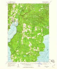 1958 Rapid River1960 Print · USGSUpper Peninsula timberlands and shores meet in the late fifties along the dual bays of Lake Michigan. Researchers can trace family roots at Garth Cem and Lakewood Cem or locate old community hubs like Ensign and the Stonington Community Hall.2 unique versions available
 - 1982 Map of Escanaba
 1982 Escanaba1982 Print · USGSUpper Peninsula timber and mining country come to life in this early 1980s survey of the lakefront and forest interior. Trace family roots and industrial history through settlements like Norway and Gladstone, or locate the Appleton Mine and Fernwood Cem near the rail lines.
 - 1983 Map of Manistique
 1983 Manistique1983 Print · USGSThe northern shores of Lake Michigan and the Garden Peninsula appear here in the early eighties. Historians can trace the Soo Line rail corridor and explore coastal settlements like Nahma, Fayette, and the harbor town of Manistique.
 - 1985 Map of Rapid River
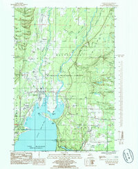 1985 Rapid River1985 Print · USGSThe northern reaches of Little Bay De Noc come into focus during the mid-1980s, where several rivers meet the Lake Michigan shoreline. Genealogists and local historians can locate Rapid River Cem, the Tri-Township Sch, and trace the paths of an Abandoned RR through the forest.
 - 1985 Map of Perkins
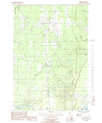 1985 Perkins1985 Print · USGSDelta County's rural townships are captured here in the mid-eighties as rail and timber industries shaped the local landscape. Genealogists can locate family landmarks such as Perkins Cem, St Josephs Ch, and the settlement of Brampton along the river.
 - 1985 Map of Gladstone
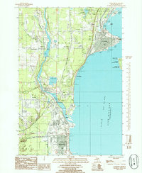 1985 Gladstone1985 Print · USGSThe Delta County coastline in the mid-eighties shows a busy industrial and maritime corridor between Gladstone and Escanaba. Local researchers can trace landmarks like the Squaw Point Lighthouse, Fernwood Cemetery, and the West Gladstone Airport.
 - 2011 Map of Gladstone, 2011 Print
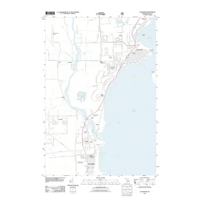 2011 Gladstone2011 Print · USGSCoastal Delta County settlements and the waterfronts of Gladstone and Escanaba are documented in this early twenty-first-century survey. Local researchers can trace family sites near Fernwood Cemetery or follow the Escanaba River through Wells and Groos.
 - 2011 Map of Perkins, 2011 Print
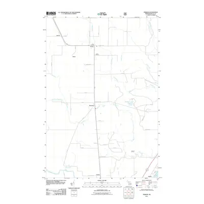 2011 Perkins2011 Print · USGSDelta County's river-cut lowlands are captured here in the early twenty-first century, showing the established rural grid around Brampton and Perkins. Genealogists and local historians can trace family locations near Perkins Cemetery or the old rail stops at Winde and Beaver.
 - 2011 Map of Rapid River, 2011 Print
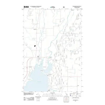 2011 Rapid River2011 Print · USGSCoastal Delta County in the early twenty-first century reveals a landscape shaped by the confluence of the Whitefish River and Lake Michigan. Researchers can trace the roots of lakeside communities at the Garth Point Cemetery or locate the Rapid River Lookout Tower.
 - 2014 Map of Perkins, 2014 Print
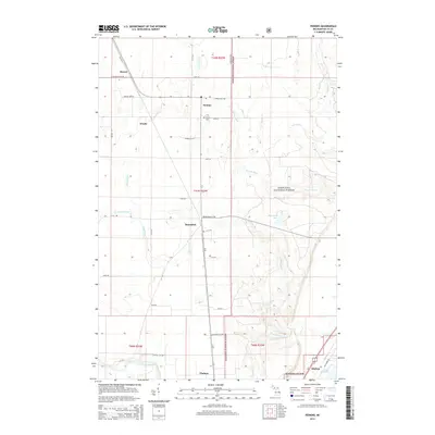 2014 Perkins2014 Print · USGSDelta County's timberlands and river valleys are captured here in the early twenty-first century as part of the Hiawatha National Forest. Researchers can trace the layout of rural crossroads like Brampton and Perkins, or locate family sites near the Perkins Cem.
 - 2014 Map of Gladstone, 2014 Print
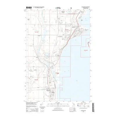 2014 Gladstone2014 Print · USGSThe Lake Michigan shoreline of Delta County is documented here in the early twenty-first century, spanning the industrial corridor from Escanaba to Gladstone. Genealogists and researchers can trace local landmarks like Flat Rock Cem, Chandler Falls, and the Soo Line railroad.
 - 2014 Map of Rapid River, 2014 Print
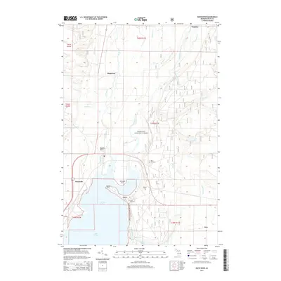 2014 Rapid River2014 Print · USGSUpper Peninsula lakefront life and forest history come together in this 2014 study of Delta County. Family researchers can locate the Rapid River Cem, Garth Point Cem, and the McLeod Grave among the waters of Little Bay de Noc and the Tacoosh River.
 - 2017 Map of Gladstone, 2017 Print
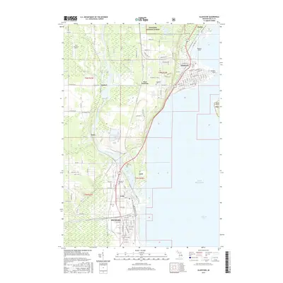 2017 Gladstone2017 Print · USGSThe Delta County shoreline comes alive in this contemporary study of Escanaba and Gladstone along the Little Bay de Noc. Genealogists and historians can trace local landmarks like the Garden of Rest Cem and the small settlements of Kipling and Groos.
 - 2017 Map of Perkins, 2017 Print
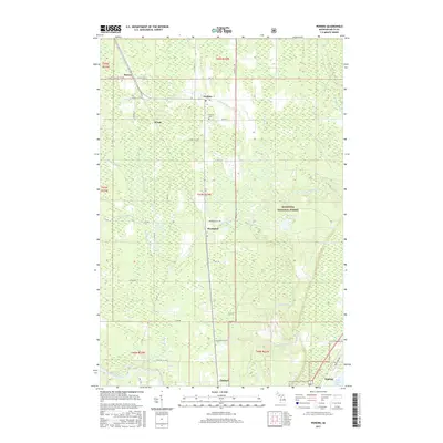 2017 Perkins2017 Print · USGSDelta County's river-cut timberlands and railway settlements are meticulously documented in the late twenty-teens. Genealogists and local historians can trace the foundations of Perkins, Brampton, and Winde alongside the Perkins Cem.
 - 2017 Map of Rapid River, 2017 Print
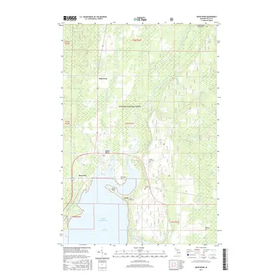 2017 Rapid River2017 Print · USGSThe northern tip of Little Bay de Noc meets the timberlands of Delta County in this modern survey of the Upper Peninsula. Genealogists and historians can trace family locations at Rapid River, identify the McLeod Grave, or locate the Garth Point Cem along the shoreline.
 - 2019 Map of Perkins, 2019 Print
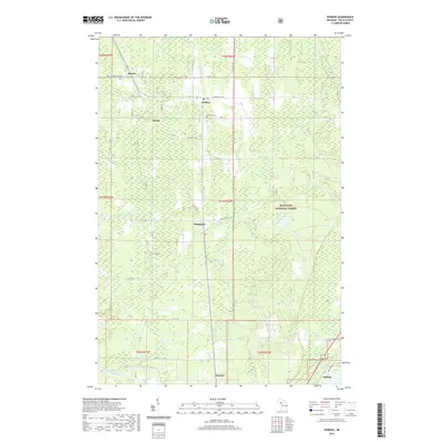 2019 Perkins2019 Print · USGSBrampton and the surrounding Michigan timberlands are captured here in the late twenty-teens, showing the persistent rural character of Delta County. Researchers can trace family history through the Perkins Cem or locate old homesteads near Beaver, Winde, and the Days River.
 - 2019 Map of Rapid River, 2019 Print
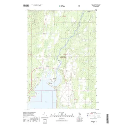 2019 Rapid River2019 Print · USGSDelta County's shoreline meets the deep woods of the Upper Peninsula in this modern survey of the Little Bay de Noc region. Genealogists and hikers can trace local history through the McLeod Grave, Rapid River Cemetery, and the Bay de Noc - Grand Island trail system.
 - 2019 Map of Gladstone, 2019 Print
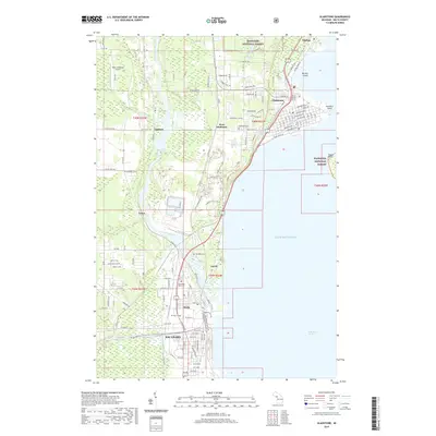 2019 Gladstone2019 Print · USGSCovers Brampton Township, including Escanaba, Gladstone, and other nearby areas
Showing maps 1-25 of 28
Top cities near Brampton Township
- Escanaba historical maps
- Gladstone historical maps
- Wells historical maps
- Brampton historical maps
- Ensign historical maps
- Cornell historical maps
Top neighborhoods of Brampton Township
Frequently asked questions
- What are the different types of historical maps available for Brampton Township?
- What is the oldest map of Brampton Township?
- Where can I purchase historical maps of Brampton Township for my home or office?
- Where can I download high-res historical maps of Brampton Township?
- Are there historical topographic maps available for Brampton Township?
- Is there historical aerial imagery available for Brampton Township?
- Where are historical maps of Brampton Township sourced from?