Old Maps of Nahma Junction, Nahma Township for Academic Research
Study the evolution of Nahma Junction with 12 high-resolution historic maps. Whether you're teaching, researching, or modeling changes in land use, these maps provide essential visual documentation of urban, environmental, and geographic change.
- Analyze long-term change: Track patterns in development, transportation, and natural features.
- Ideal for environmental or urban studies: Support academic projects with primary historical map data.
- Use in the classroom or lab: Educators and researchers rely on these maps to bring historical context to life.
These maps are a powerful tool for teaching, research, and visualizing how Nahma Junction has changed over the decades.
Nahma Junction, Nahma Township maps
(12)- 1932 Map of Garden NW and SW
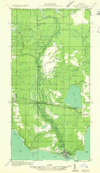 1932 Garden NW and SW1932 Print · USGSThe Delta County coast and Sturgeon River valley come alive in the 1930s, documenting a landscape shaped by the timber industry. Researchers can trace the layout of Nahma, find family-named sites like Larson Sch, and locate remote logging outposts like Jobbers Camp.
 - 1954 Map of Escanaba, 1967 Print
 1954 Escanaba1967 Print · USGSThe Upper Peninsula and Door County shorelines meet here in the mid-fifties, showing the vital maritime and timber networks of the Great Lakes. Researchers can trace historic rail lines, old fire lookouts like the Stonington Fire Tower, and island settlements such as Washington Island.2 unique versions available
 - 1957 Map of Escanaba
 1957 Escanaba1957 Print · USGSThe Upper Peninsula and Door County shorelines meet in the mid-fifties, capturing a landscape of timber, iron, and maritime trade. Genealogists and local historians can trace the Chicago & North Western RR through settlements like Hermansville or locate St Vitals Church and the Potawatome Indian Reservation.
 - 1958 Map of Escanaba
 1958 Escanaba1958 Print · USGSNorthern Lake Michigan maritime commerce and timberlands are captured here in the mid-fifties. Genealogists and historians can trace rail networks like the Escanaba and Lake Superior or locate island settlements such as Detroit Harbor and Fish Creek.
 - 1958 Map of Garden, 1959 Print
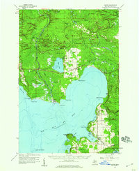 1958 Garden1959 Print · USGSThe Garden Peninsula in the late fifties shows a landscape of timber towns and fishing harbors along the Big Bay de Noc. Researchers can trace historic family sites and early infrastructure from Vans Harbor to the St Lawrence Ch and Isabella rail stop.3 unique versions available
 - 1983 Map of Manistique
 1983 Manistique1983 Print · USGSThe northern shores of Lake Michigan and the Garden Peninsula appear here in the early eighties. Historians can trace the Soo Line rail corridor and explore coastal settlements like Nahma, Fayette, and the harbor town of Manistique.
 - 1985 Map of St. Jacques
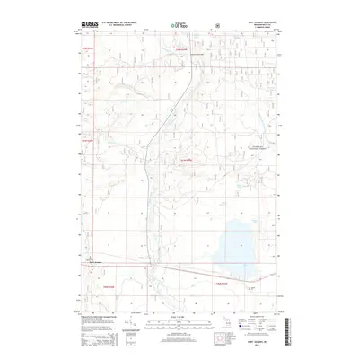
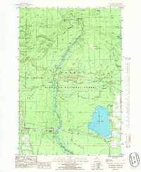 1985 St. Jacques1985 Print · USGSCentral Delta County comes alive in the mid-1980s as a landscape of timber and water within the Hiawatha National Forest. Genealogists and historians can trace family sites at Isabella Cem and the settlement of St Jacques near the winding Sturgeon River.
 - 2011 Map of Saint Jacques, 2011 Print
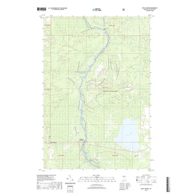
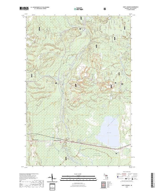
 2011 Saint Jacques2011 Print · USGSCovers Nahma Junction, including Nahma Township, Saint Jacques, and other nearby areas
 - 2014 Map of Saint Jacques, 2014 Print
 2014 Saint Jacques2014 Print · USGSCovers Nahma Junction, including Nahma Township, Saint Jacques, and other nearby areas
 - 2017 Map of Saint Jacques, 2017 Print
 2017 Saint Jacques2017 Print · USGSCovers Nahma Junction, including Nahma Township, Saint Jacques, and other nearby areas
 - 2019 Map of Saint Jacques, 2019 Print
 2019 Saint Jacques2019 Print · USGSCovers Nahma Junction, including Nahma Township, Saint Jacques, and other nearby areas
 - 2023 Map of Saint Jacques, 2023 Print
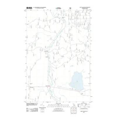
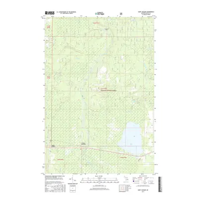
 2023 Saint Jacques2023 Print · USGSThe Sturgeon River corridor and the settlement of Saint Jacques are shown in detail on this modern survey of the Hiawatha National Forest. Researchers can find Saint Jacques Cem, Isabella Cem, and the old Nahma Junction rail crossing.
End of results
Showing maps 1-12 of 12
Top cities near Nahma Junction
Frequently asked questions
- What are the different types of historical maps available for Nahma Junction?
- What is the oldest map of Nahma Junction?
- Where can I purchase historical maps of Nahma Junction for my home or office?
- Where can I download high-res historical maps of Nahma Junction?
- Are there historical topographic maps available for Nahma Junction?
- Is there historical aerial imagery available for Nahma Junction?
- Where are historical maps of Nahma Junction sourced from?