Old Maps of Loretto, Michigan for Genealogy
Trace your family roots with 11 historic maps of Loretto. These high-res maps reveal old neighborhoods, homesites, landmarks, and streets — helping you uncover where your ancestors lived and how the area evolved over time.
- Explore historic neighborhoods: Identify where your relatives may have lived in the 1800s or 1900s.
- Compare maps over time: Trace the changes in streets, buildings, and landmarks for multi-generational research.
- Perfect for genealogy & ancestry research: Used by family historians and researchers to map out lineage and migration.
These maps are an incredible resource for exploring your personal connection to Loretto's past.
Loretto, MI maps
(11)- 1954 Map of Escanaba, 1967 Print
 1954 Escanaba1967 Print · USGSThe Upper Peninsula and Door County shorelines meet here in the mid-fifties, showing the vital maritime and timber networks of the Great Lakes. Researchers can trace historic rail lines, old fire lookouts like the Stonington Fire Tower, and island settlements such as Washington Island.2 unique versions available
 - 1955 Map of Vulcan, 1957 Print
 1955 Vulcan1957 Print · USGSMid-century Dickinson County was a hub of Menominee Range iron mining and heavy rail activity. Genealogists and industrial historians can trace the foundations of Vulcan and Loretto, or locate the specific footprints of the Loretta Mine and Appleton Mine.2 unique versions available
 - 1955 Map of Norway, 1957 Print
 1955 Norway1957 Print · USGSUpper Peninsula mining towns and state forests thrive in the mid-fifties as the rail-and-river economy transitions. Researchers can trace the industrial footprint of the Aragon Mine, find the Norway Sch, and locate the St Anthony Cem.3 unique versions available
 - 1957 Map of Escanaba
 1957 Escanaba1957 Print · USGSThe Upper Peninsula and Door County shorelines meet in the mid-fifties, capturing a landscape of timber, iron, and maritime trade. Genealogists and local historians can trace the Chicago & North Western RR through settlements like Hermansville or locate St Vitals Church and the Potawatome Indian Reservation.
 - 1958 Map of Escanaba
 1958 Escanaba1958 Print · USGSNorthern Lake Michigan maritime commerce and timberlands are captured here in the mid-fifties. Genealogists and historians can trace rail networks like the Escanaba and Lake Superior or locate island settlements such as Detroit Harbor and Fish Creek.
 - 1982 Map of Escanaba
 1982 Escanaba1982 Print · USGSUpper Peninsula timber and mining country come to life in this early 1980s survey of the lakefront and forest interior. Trace family roots and industrial history through settlements like Norway and Gladstone, or locate the Appleton Mine and Fernwood Cem near the rail lines.
 - 2011 Map of Vulcan, 2011 Print
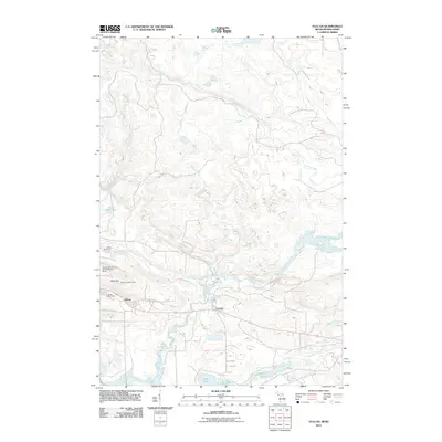 2011 Vulcan2011 Print · USGSThe community of Vulcan and its surrounding Dickinson County backcountry are mapped here during the early twenty-first century. Researchers can trace the local infrastructure of the Sturgeon River valley, from the Vulcan Post Office and Siding Number 5 to the heights of the Vulcan Lookout Tower.
 - 2014 Map of Vulcan, 2014 Print
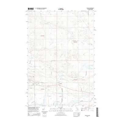 2014 Vulcan2014 Print · USGSUpper Peninsula Michigan life centers on the Sturgeon River and the communities of Vulcan and Loretto in the early twenty-first century. Researchers can trace local landmarks like Power Dam Falls, Hanbury Lake, and the residential network around Brier Hill.
 - 2017 Map of Vulcan, 2017 Print
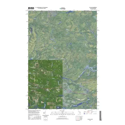 2017 Vulcan2017 Print · USGSThe settlements of Vulcan and Loretto anchor this 2017 survey of Michigan's Upper Peninsula. Genealogists and local historians can trace family roots along Swede Settlement Rd or explore landmarks like Power Dam Falls and Hanbury Lake.
 - 2019 Map of Vulcan, 2019 Print
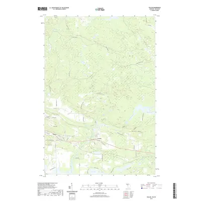 2019 Vulcan2019 Print · USGSWaucedah Township and the iron-rich hills of the Upper Peninsula are documented here in the modern era. Genealogists and local historians can trace the development of Vulcan and Loretto near Power Dam Falls and the historic Swede Settlement Rd.
 - 2023 Map of Vulcan, 2023 Print
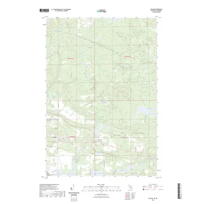 2023 Vulcan2023 Print · USGSDickinson County's timber and river lands are documented here in the early twenty-first century, centered on the historic mining and mill towns of Vulcan and Loretto. Researchers can trace rural heritage along Swede Settlement Rd or follow the path of the Sturgeon River to Power Dam Falls.
End of results
Showing maps 1-11 of 11
Top cities near Loretto
- Iron Mountain historical maps
- Norway historical maps
- Niagara historical maps
- Pembine historical maps
- Quinnesec historical maps
- Waucedah historical maps
See more
Frequently asked questions
- What are the different types of historical maps available for Loretto?
- What is the oldest map of Loretto?
- Where can I purchase historical maps of Loretto for my home or office?
- Where can I download high-res historical maps of Loretto?
- Are there historical topographic maps available for Loretto?
- Is there historical aerial imagery available for Loretto?
- Where are historical maps of Loretto sourced from?