Old Maps of Windsor Charter Township, Michigan for Metal Detecting
Plan your next treasure hunt with 30 historic maps of Windsor Charter Township. Find old homesites, ghost towns, trails, and gathering spots that may be lost to time — perfect for identifying promising metal detecting locations.
- Locate forgotten sites: Uncover places like long-lost settlements, abandoned rail lines, or gathering spots.
- Plan better hunts: Use map overlays combined with LiDAR or satellite views to narrow in on historically rich areas.
- Made for detectorists: Thousands of hobbyists use these maps to discover relics, coins, and hidden history.
Use these historic maps to boost your research and find new opportunities beneath the surface of Windsor Charter Township.
Windsor Charter Township, MI maps
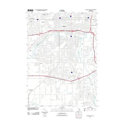
(30)- 1910 Map of Lansing, 1958 Print
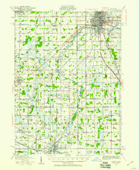 1910 Lansing1958 Print · USGSThe state capital and its surrounding agrarian townships are captured here during a period of significant growth at the start of the 1910s. Genealogists can trace hundreds of family farms and local landmarks including Dolly Varden School, Grovenberg Church, and the Pere Marquette rail lines.
 - 1912 Map of Lansing
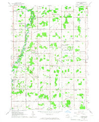
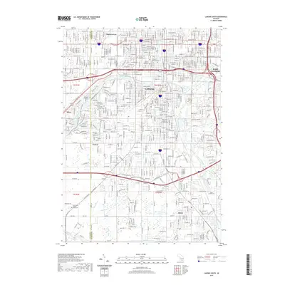
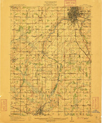 1912 Lansing1912 Print · USGSLansing and the surrounding townships are captured in 1912 as the region's rural character met the growing industrial city. Genealogists can trace family footprints through dozens of country school sites like Dolly Varden School or settlements such as Dimondale and Canada Settlement.4 unique versions available
 - 1958 Map of Grand Rapids, 1973 Print
 1958 Grand Rapids1973 Print · USGSSouthern Michigan at the peak of the postwar era shows a landscape of burgeoning cities and new interstate highways. Trace family roots and regional growth in Grand Rapids, Battle Creek, and the glacial lake country around Gun Lake or Gull Lake.2 unique versions available
 - 1961 Map of Grand Rapids
 1961 Grand Rapids1961 Print · USGSSouthern Michigan at the dawn of the 1960s reveals a region shaped by major river systems and a robust rail network. Trace mid-century industrial growth and land use from Grand Rapids to the Fort Custer Military Reservation and Gun Lake.
 - 1962 Map of Grand Rapids
 1962 Grand Rapids1962 Print · USGSMid-century Southern Michigan is mapped here at a time of massive growth, showing the expanding urban footprints of Grand Rapids and Lansing. Researchers can trace the legacy of the Grand Trunk Western RR, find historic boundaries of the Fort Custer Military Reservation, or locate sporting camps around Gun Lake.2 unique versions available
 - 1965 Map of Lansing South, 1967 Print
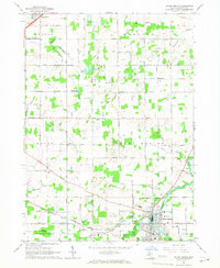
 1965 Lansing South1967 Print · USGSGreater Lansing is captured in a period of significant mid-century expansion along the Grand River and Red Cedar River corridors. Genealogists and local historians can trace family plots in Mt Hope Cemetery or locate old neighborhood landmarks like St Mary Sch and the settlement of Millett.3 unique versions available
 - 1965 Map of Eaton Rapids, 1967 Print
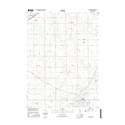
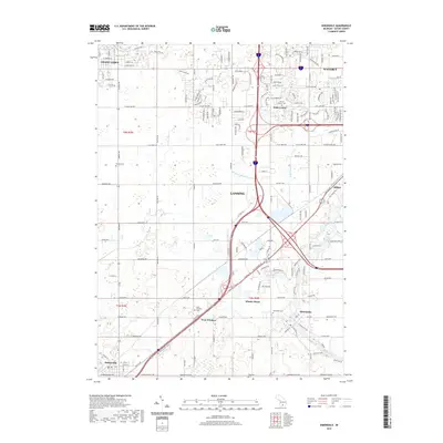
 1965 Eaton Rapids1967 Print · USGSEaton County in the mid-1960s is depicted as a landscape of river-fed settlements and evolving transport networks. Researchers can trace family history through sites like Rose Hill Cemetery and Bentley Cem, or locate landmarks such as Kingsland and Petrieville.2 unique versions available
 - 1965 Map of Dimondale, 1967 Print
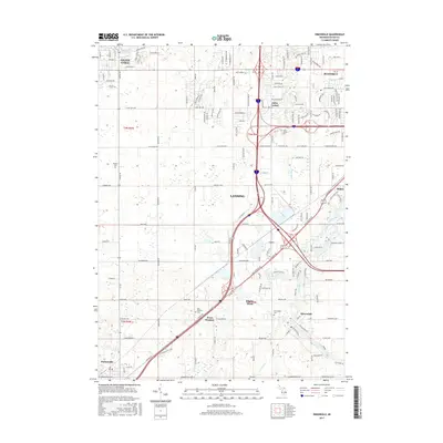
 1965 Dimondale1967 Print · USGSMid-Michigan's river towns and farming townships are captured here in the mid-sixties, just as the regional highway system was beginning to reshape the countryside. Genealogists and local historians can locate early burial sites like Pray Cem, old schoolhouses such as Delta Center Sch, and the industrial path of the Grand Trunk Western Railroad.3 unique versions available
 - 1965 Map of Aurelius, 1967 Print
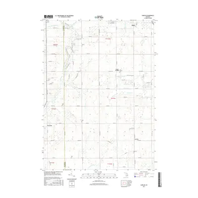
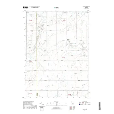
 1965 Aurelius1967 Print · USGSIngham County's rural landscape is captured here in the mid-1960s, showing a transition from traditional farmsteads to modern township development. Genealogists can trace family roots through several local landmarks like Skinner Cem, Petrieville, and the North Aurelius Sch.2 unique versions available
 - 1983 Map of Lansing, 1984 Print
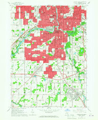
 1983 Lansing1984 Print · USGSThe Lansing area and its surrounding river valleys are captured here in the early eighties. Genealogists and historians can trace the rail corridors of the Conrail or locate local landmarks like St Johns Ch and Greenwood Cem.
 - 2011 Map of Eaton Rapids, 2011 Print
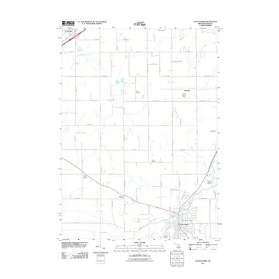 2011 Eaton Rapids2011 Print · USGSCovers Windsor Charter Township, including Eaton Rapids, Potterville, and other nearby areas
 - 2011 Map of Aurelius, 2011 Print
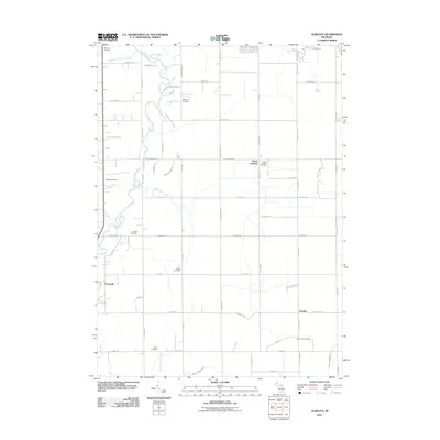 2011 Aurelius2011 Print · USGSCovers Windsor Charter Township, including Aurelius, Petrieville, and other nearby areas
 - 2011 Map of Dimondale, 2011 Print
 2011 Dimondale2011 Print · USGSCovers Windsor Charter Township, including Lansing, Grand Ledge, and other nearby areas
 - 2011 Map of Lansing South, 2011 Print
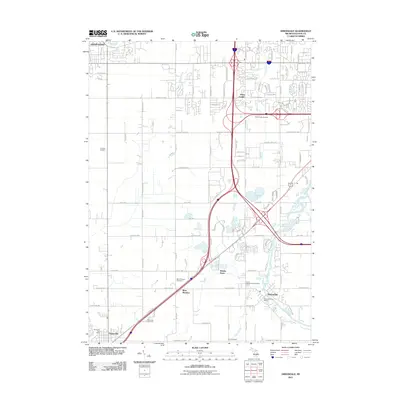
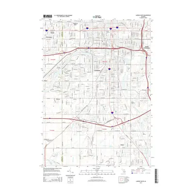
 2011 Lansing South2011 Print · USGSCovers Windsor Charter Township, including Lansing, East Lansing, and other nearby areas
 - 2014 Map of Dimondale, 2014 Print
 2014 Dimondale2014 Print · USGSCovers Windsor Charter Township, including Lansing, Grand Ledge, and other nearby areas
 - 2014 Map of Eaton Rapids, 2014 Print
 2014 Eaton Rapids2014 Print · USGSCovers Windsor Charter Township, including Eaton Rapids, Potterville, and other nearby areas
 - 2014 Map of Aurelius, 2014 Print
 2014 Aurelius2014 Print · USGSCovers Windsor Charter Township, including Aurelius, Petrieville, and other nearby areas
 - 2014 Map of Lansing South, 2014 Print
 2014 Lansing South2014 Print · USGSCovers Windsor Charter Township, including Lansing, East Lansing, and other nearby areas
 - 2017 Map of Lansing South, 2017 Print
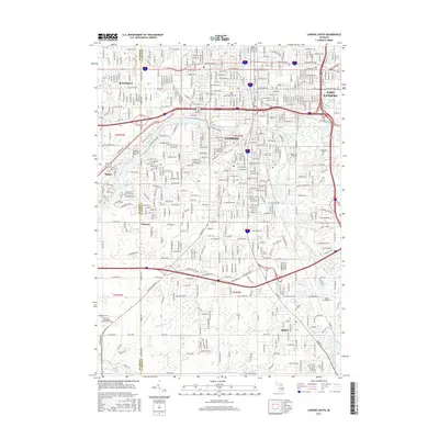 2017 Lansing South2017 Print · USGSCovers Windsor Charter Township, including Lansing, East Lansing, and other nearby areas
 - 2017 Map of Eaton Rapids, 2017 Print
 2017 Eaton Rapids2017 Print · USGSCovers Windsor Charter Township, including Eaton Rapids, Potterville, and other nearby areas
 - 2017 Map of Dimondale, 2017 Print
 2017 Dimondale2017 Print · USGSCovers Windsor Charter Township, including Lansing, Grand Ledge, and other nearby areas
 - 2017 Map of Aurelius, 2017 Print
 2017 Aurelius2017 Print · USGSCovers Windsor Charter Township, including Aurelius, Petrieville, and other nearby areas
 - 2019 Map of Lansing South, 2019 Print
 2019 Lansing South2019 Print · USGSCovers Windsor Charter Township, including Lansing, East Lansing, and other nearby areas
 - 2019 Map of Dimondale, 2019 Print
 2019 Dimondale2019 Print · USGSCovers Windsor Charter Township, including Lansing, Grand Ledge, and other nearby areas
 - 2019 Map of Aurelius, 2019 Print
 2019 Aurelius2019 Print · USGSCovers Windsor Charter Township, including Aurelius, Petrieville, and other nearby areas
Showing maps 1-25 of 30
Top cities near Windsor Charter Township
- Lansing historical maps
- East Lansing historical maps
- Charlotte historical maps
- Mason historical maps
- Grand Ledge historical maps
- Eaton Rapids historical maps
See more
Top neighborhoods of Windsor Charter Township
- West Windsor historical maps
- Whaley Drain historical maps
- Dimondale historical maps
- Windsor Estates historical maps
- Dimondale Farms historical maps
- Jacaranda Estates historical maps
See more
Frequently asked questions
- What are the different types of historical maps available for Windsor Charter Township?
- What is the oldest map of Windsor Charter Township?
- Where can I purchase historical maps of Windsor Charter Township for my home or office?
- Where can I download high-res historical maps of Windsor Charter Township?
- Are there historical topographic maps available for Windsor Charter Township?
- Is there historical aerial imagery available for Windsor Charter Township?
- Where are historical maps of Windsor Charter Township sourced from?