Old Maps of Center Township, Michigan for Hiking & Exploration
Hike through history with 28 historic maps of Center Township. Explore old trails, ghost towns, and forgotten backroads — perfect for outdoor adventurers and local explorers.
- Rediscover forgotten places: Map out old mining camps, roads, and footpaths that no longer exist on modern maps.
- Layer with modern tools: Combine with LiDAR or satellite views to plan hikes through historical terrain.
- Made for exploration: Popular among hikers, overlanders, and local history lovers.
Use these maps to find adventure and explore the hidden past of Center Township.
Center Township, MI maps
(28)- 1955 Map of Cheboygan, 1964 Print
 1955 Cheboygan1964 Print · USGSNorthern Michigan in the mid-fifties is a landscape of dense timber and deep water, showing the region just as the road network began to modernize. Trace family roots in lakeside towns like St Ignace and Petoskey, or follow the historic tracks of the Pennsylvania RR and New York Central RR.5 unique versions available
 - 1958 Map of Cheboygan
 1958 Cheboygan1958 Print · USGSThe tip of Michigan's Lower Peninsula and the surrounding Great Lakes islands are shown here in the late fifties, during the peak of the rail-and-ferry era. Trace the paths of the Pennsylvania RR and explore lakeside settlements like St James, Petoskey, and Indian River.2 unique versions available
 - 1958 Map of Pellston, 1959 Print
 1958 Pellston1959 Print · USGSEmmet County in the late fifties shows a landscape of timber, small farms, and rail towns before the modern highway era. Trace the Pennsylvania rail line through Pellston or locate family sites like St Nicholas Ch and Canby Sch.2 unique versions available
 - 1982 Map of Levering, 1983 Print
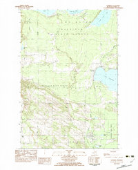 1982 Levering1983 Print · USGSNorthern Michigan’s timberlands and lakefronts are frozen in time during the early eighties, showing the transition between state-managed forests and local settlements. Genealogists and historians can trace family locations near Levering, the Church of God, and the Levering and Carp Lake Cem.
 - 1982 Map of Pellston, 1983 Print
 1982 Pellston1983 Print · USGSPellston and the surrounding Emmet County forests are documented here in the early eighties, showcasing a mix of academic research and aviation hubs. Genealogists can trace family roots at Ayr Cem or locate community centers like Zion United Ch and the University of Michigan Biological Station.
 - 1982 Map of Bliss, 1983 Print
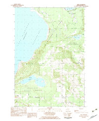 1982 Bliss1983 Print · USGSEmmet County's northern forests and Lake Michigan shoreline are captured here in the late 1970s. Genealogists and local historians can trace family locations near crossroads like Wesbters Corners or find markers at Township Cem and Pioneer Memorial Ch.
 - 1982 Map of Larks Lake, 1983 Print
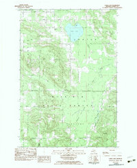 1982 Larks Lake1983 Print · USGSEmmet County’s northern woods and wetlands are captured here in the early eighties, showing the intersection of state forest lands and rural townships. Genealogists and local historians can locate several family burial sites like Starr Cem and Greenwood Cem, alongside landmarks like Camp Ralston and the Townhall in Pleasant View.
 - 1984 Map of Cheboygan, 1985 Print
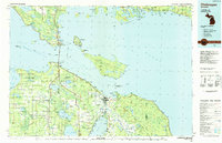 1984 Cheboygan1985 Print · USGSThe Straits of Mackinac and the northern tip of Michigan's Lower Peninsula are shown here in the mid-1980s. Local researchers can trace family landmarks and rural crossroads from St Ignace to Cheboygan, including Riggsville and Levering.
 - 2011 Map of Levering, 2011 Print
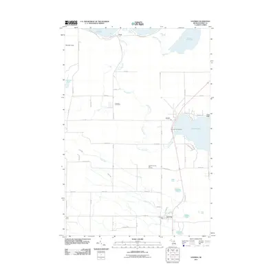 2011 Levering2011 Print · USGSNorthern Michigan's lake-rich landscape in Emmet County is documented here at the turn of the decade. Researchers can trace local landmarks like the McGulpin Point Lighthouse, the Levering and Carp Lake Cemetery, and the Carp Lake Post Office.
 - 2011 Map of Pellston, 2011 Print
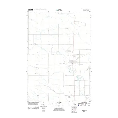 2011 Pellston2011 Print · USGSNorthern Emmet County at the start of the 2010s reveals a landscape where the river system meets essential regional infrastructure. Researchers can trace the grounds of McKinley Township Cemetery or locate the Pellston Lookout Tower and Lake Kathleen.
 - 2011 Map of Larks Lake, 2011 Print
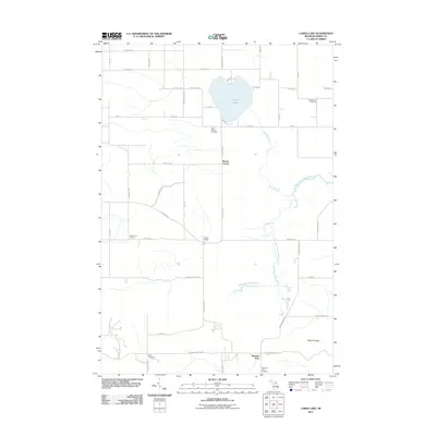 2011 Larks Lake2011 Print · USGSEmmet County's rural interior is documented here during the early 21st century, centered on the waters of Larks Lake. Genealogists and local historians can trace legacy sites like Starr Cemetery, Marsh Corner, and the West Branch Maple River.
 - 2011 Map of Bliss, 2011 Print
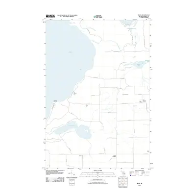 2011 Bliss2011 Print · USGSUpper Michigan's coastal landscape near the tip of the Lower Peninsula is captured here in the early twenty-first century. Researchers can locate the Bliss Township Cemetery, the Bliss Lookout Tower, and historical crossroads like Canby Corners and Websters Corners.
 - 2014 Map of Larks Lake, 2014 Print
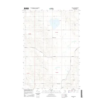 2014 Larks Lake2014 Print · USGSEmmet County's rural highlands and glacial lakes are captured here in the early twenty-first century. Genealogists and local historians can locate family plots at Greenwood Cem and Starr Cem or trace the N Country National Scenic Trail through Pleasant View.
 - 2014 Map of Pellston, 2014 Print
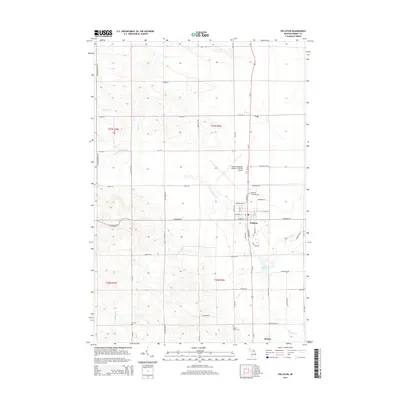 2014 Pellston2014 Print · USGSEmmet County, Michigan, in the early twenty-first century centers on the hub of Pellston and its regional airport. Researchers can trace the local landscape through the Maple River watershed and find sites like McKinley Township Cem and Brutus.
 - 2014 Map of Levering, 2014 Print
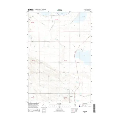 2014 Levering2014 Print · USGSNorthern Emmet County at the start of the 2010s shows a landscape defined by its lakes and woodland trails. Genealogists and local historians can locate the Levering and Carp Lake Cem or trace the drainage of the Carp Lake River through Lake Paradise.
 - 2014 Map of Bliss, 2014 Print
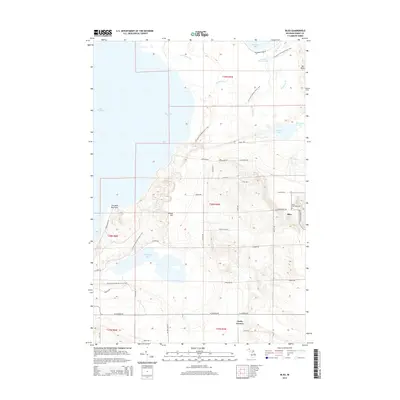 2014 Bliss2014 Print · USGSEmmet County’s northern lakefront is documented here in the early twenty-first century, showing the intersection of the Lake Michigan shore and the North Country Trail. Genealogists and local historians can locate Bliss, the Bliss Township Cem, and family-named landmarks like Billiau Hill.
 - 2017 Map of Larks Lake, 2017 Print
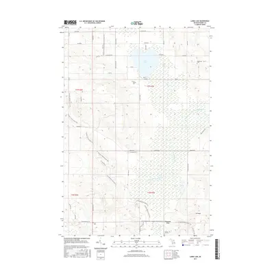 2017 Larks Lake2017 Print · USGSEmmet County's forested terrain and rural settlements are documented here during the late 2010s. Genealogists and hikers can trace the North Country Trail as it passes Larks Lake, Starr Cem, and the Pleasant View community.
 - 2017 Map of Levering, 2017 Print
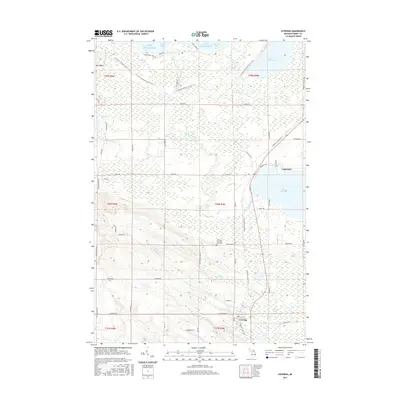 2017 Levering2017 Print · USGSNorthern Emmet County at the turn of the twenty-first century is a landscape of coastal bays and significant inland trails. Genealogists and hikers can trace the N Country National Scenic Trail past Mtn Nebo or locate family plots at the Levering and Carp Lake Cem.
 - 2017 Map of Pellston, 2017 Print
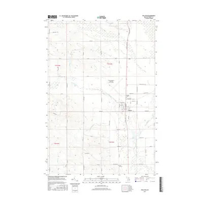 2017 Pellston2017 Print · USGSEmmet County at the mid-point of the 2010s reveals a landscape where aviation and nature meet along the forks of the Maple River. Genealogists and local historians can locate several family burial sites including Ayr Cem and McKinley Township Cem near Pellston.
 - 2017 Map of Bliss, 2017 Print
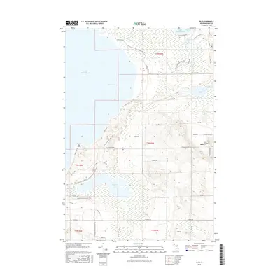 2017 Bliss2017 Print · USGSThe northern tip of Michigan's Lower Peninsula is shown here in the mid-2010s, where the dunes of Sturgeon Bay meet the sprawling Wilderness State Park. Genealogists and hikers can trace family sites near Bliss or follow the N Country National Scenic Trail past Wycamp Lake and the Bliss Township Cem.
 - 2019 Map of Pellston, 2019 Print
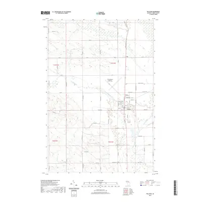 2019 Pellston2019 Print · USGSEmmet County near the turn of the 21st century remains anchored by the confluence of the Maple River and the aviation hub at Pellston. Local researchers can trace family sites at the McKinley Township Cem or follow the route of the N Western State Trail.
 - 2019 Map of Bliss, 2019 Print
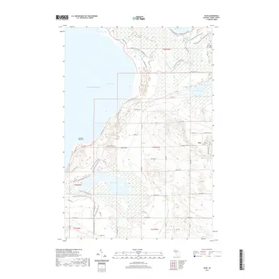 2019 Bliss2019 Print · USGSCoastal Emmet County meets the northern tip of the Lower Peninsula in this 2019 survey of the Sturgeon Bay shoreline. Family researchers and hikers can trace local routes like Sturgeon Bay Rd or locate the Bliss Township Cem and Wycamp Lake.
 - 2019 Map of Levering, 2019 Print
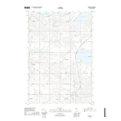 2019 Levering2019 Print · USGSNear the northern tip of the Michigan mainland in the late 2010s, this area shows a landscape defined by its inland lakes and extensive trail systems. Researchers can trace the layout of Levering and Carp Lake, or locate family sites near the Levering and Carp Lake Cem and Lake Paradise.
 - 2019 Map of Larks Lake, 2019 Print
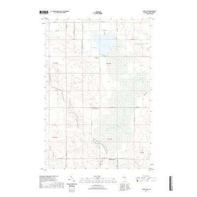 2019 Larks Lake2019 Print · USGSEmmet County’s northern wetlands and glacial hills are captured here in the late twenty-teens, showing a landscape defined by conservation and recreation. Genealogists can locate family landmarks like Saint Nichols Cem and Starr Cem near the waters of Larks Lake.
 - 2023 Map of Larks Lake, 2023 Print
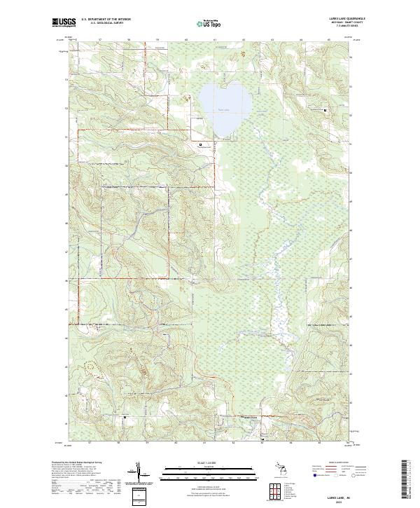 2023 Larks Lake2023 Print · USGSNorthern Michigan's wetlands and rural roads define this area of Emmet County in the 2020s. Genealogists and local historians can trace family locations near Pleasant View and several historic burial sites like Saint Nichols Cem and Greenwood Cem.
Showing maps 1-25 of 28
Top cities near Center Township
- Petoskey historical maps
- Harbor Springs historical maps
- Carp Lake historical maps
- Mackinaw City historical maps
- Alanson historical maps
- Pellston historical maps
See more
Top neighborhoods of Center Township
Frequently asked questions
- What are the different types of historical maps available for Center Township?
- What is the oldest map of Center Township?
- Where can I purchase historical maps of Center Township for my home or office?
- Where can I download high-res historical maps of Center Township?
- Are there historical topographic maps available for Center Township?
- Is there historical aerial imagery available for Center Township?
- Where are historical maps of Center Township sourced from?