2020s Maps of Petoskey, Michigan
Explore 3 historic maps of Petoskey from the 2020s. These maps offer a rare glimpse into what life looked like during the 2020s — showing old roads, neighborhoods, homes, and landmarks that have changed or disappeared over time.
Whether you're researching your family's past, planning a metal detecting trip, or studying how Petoskey's landscape evolved across the 2020s, these high-resolution maps are a powerful tool for exploring the history of this region.
- Focus on a specific era: All maps on this page are from the 2020s, giving you a focused view of this time period.
- See what’s changed: Compare century-old streets, trails, and buildings to today's modern landscape using overlays and satellite layers.
- Research with precision: Use these maps for genealogy, historical research, land use analysis, or educational projects.
- View, download, or print: Maps are fully viewable online in high resolution, and can be downloaded or printed for your own records.
Start exploring Petoskey's history through authentic maps from the 2020s. This is your window into the past.
Petoskey, MI maps
(3)- 2023 Map of Bay Shore, 2023 Print
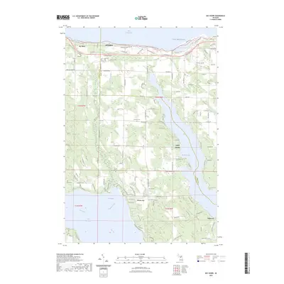 2023 Bay Shore2023 Print · USGSCharlevoix and Emmet Counties meet here in the 2020s, spanning the wooded heights between the Great Lakes and two major inland waterways. Genealogists can locate several local burial sites like Indian Cem and Horton Bay Cem near the quiet shores of Walloon Lake.
 - 2023 Map of Petoskey, 2023 Print
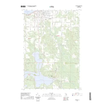 2023 Petoskey2023 Print · USGSPetoskey and the shores of Walloon Lake are captured here in the early 2020s, showing a landscape shaped by water and woodland. Researchers can trace local history through sites like Indian Garden, Dunkard Cem, and the village of Clarion.
 - 2023 Map of Harbor Springs, 2023 Print
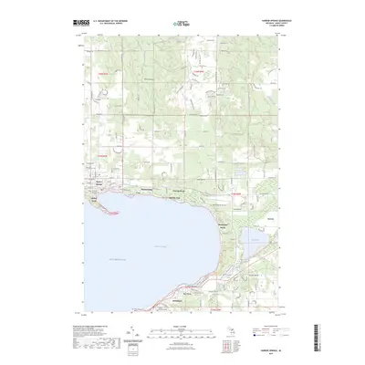 2023 Harbor Springs2023 Print · USGSThe northern shores of Little Traverse Bay are shown here in the 2020s, highlighting the dense corridor of lakefront communities and historic sites. Researchers can locate Lakeview Cem, the Holy Childhood Indian Cem, and the specialized enclave of Bay View.
End of results
Showing maps 1-3 of 3
Top cities near Petoskey
- Boyne City historical maps
- Charlevoix historical maps
- East Jordan historical maps
- Harbor Springs historical maps
- Alanson historical maps
- Pellston historical maps
See more
Top neighborhoods of Petoskey
Frequently asked questions
- What are the different types of historical maps available for Petoskey?
- What is the oldest map of Petoskey?
- Where can I purchase historical maps of Petoskey for my home or office?
- Where can I download high-res historical maps of Petoskey?
- Are there historical topographic maps available for Petoskey?
- Is there historical aerial imagery available for Petoskey?
- Where are historical maps of Petoskey sourced from?