Old Maps of Richfield Township, Michigan for Hiking & Exploration
Hike through history with 31 historic maps of Richfield Township. Explore old trails, ghost towns, and forgotten backroads — perfect for outdoor adventurers and local explorers.
- Rediscover forgotten places: Map out old mining camps, roads, and footpaths that no longer exist on modern maps.
- Layer with modern tools: Combine with LiDAR or satellite views to plan hikes through historical terrain.
- Made for exploration: Popular among hikers, overlanders, and local history lovers.
Use these maps to find adventure and explore the hidden past of Richfield Township.
Richfield Township, MI maps
(31)- 1920 Map of Flint
 1920 Flint1920 Print · USGSFlint and the surrounding Genesee County townships appear in this post-war survey during a period of intense industrial and civic growth. Genealogists and historians can trace numerous rural school sites like Beecher School and major rail lines including the Pere Marquette.2 unique versions available
 - 1922 Map of Flint
 1922 Flint1922 Print · USGSGenesee County comes to life in the early twenties, showing the industrial rise of the vehicle city alongside its rural townships. Researchers can trace family sites near Gracelawn Cemetery or locate old schoolhouses like Boutwell School and Holden School.3 unique versions available
 - 1943 Map of Flint, 1944 Print
 1943 Flint1944 Print · USGSGenesee County and the city of Flint appear in transition during the mid-forties, balancing a booming urban core with a sprawling network of rural township schools. Genealogists and local historians can trace hundreds of property sites near Kearsley Res or locate early academic landmarks like Wildcat Sch and Hopkins Sch.
 - 1954 Map of Flint, 1968 Print
 1954 Flint1968 Print · USGSThe industrial corridor and fertile Thumb region of Michigan come alive in this mid-century survey. Genealogists and historians can trace the rail networks of the Grand Trunk, locate established settlements like Bad Axe and Sandusky, or explore the 1950s shoreline along Saginaw Bay.4 unique versions available
 - 1958 Map of Flint
 1958 Flint1958 Print · USGSThe Michigan Thumb and the Saginaw Valley are captured here during the height of the post-war industrial era. Researchers can trace the complex rail networks of the Grand Trunk Western or locate mid-century landmarks like Lakeport State Park and the port at Bay City.2 unique versions available
 - 1963 Map of Columbiaville, 1964 Print
 1963 Columbiaville1964 Print · USGSColumbiaville and Otter Lake appear here during the early sixties, a landscape of fertile farmland and managed waterways at the borders of three counties. Researchers can trace the New York Central Railroad corridor and locate local landmarks like Woodlawn Cem and Lakeville High Sch.2 unique versions available
 - 1963 Map of Elba, 1964 Print
 1963 Elba1964 Print · USGSLapeer and Genesee counties are captured here in the early sixties as the suburbs of Davison meet a landscape of glacial lakes and reservoirs. Genealogists and researchers can locate the German Sch, St Johns Cem, and the old rail stop at Elba.2 unique versions available
 - 1969 Map of Davison, 1971 Print
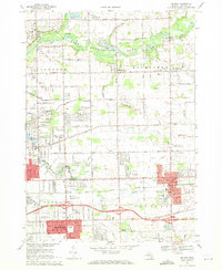 1969 Davison1971 Print · USGSEastern Genesee County underwent significant suburban development in the late sixties as the city of Davison expanded. Researchers can trace the layout of small settlements like Rogersville and find numerous local landmarks such as Holy Rosary High Sch and Davison Cem.2 unique versions available
 - 1969 Map of Otisville, 1971 Print
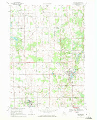 1969 Otisville1971 Print · USGSThe village of Otisville and the surrounding Genesee County countryside are captured here during a period of steady mid-century growth. Researchers can trace family history through sites like East Arbela Ch, Southwest Sch, and the Chesapeake and Ohio Railroad.2 unique versions available
 - 1984 Map of Flint, 1985 Print
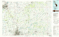 1984 Flint1985 Print · USGSThe industrial corridor between Flint and Saginaw is captured here during the mid-1980s, showcasing a landscape of growing suburbs and preserved wildlands. Researchers can trace the Grand Trunk Western RR or locate local landmarks like St Johns Ch and Flint Memorial Park Cem.
 - 1990 Map of Flint, 1991 Print
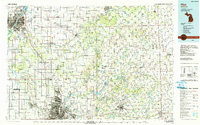 1990 Flint1991 Print · USGSThe Flint and Saginaw corridors are captured here in the early nineties, showing a landscape defined by heavy industry and rural expanses. Genealogists and historians can trace the rail lines of the Penn Central RR, visit Flint Memorial Park Cem, or explore the limits of Zilwaukee.
 - 2011 Map of Elba, 2011 Print
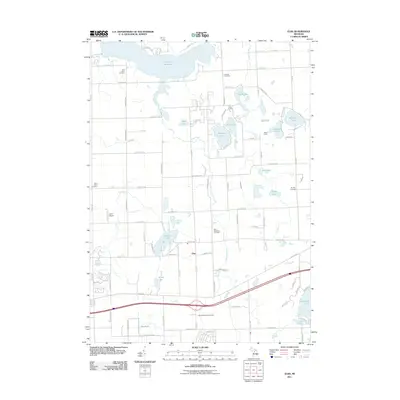 2011 Elba2011 Print · USGSElba Township in the early 2010s shows a landscape defined by its transition from rural agriculture to lakefront recreation. Researchers can locate several burial grounds including Elba Township Cemetery and family-named landmarks like Johns Airport and Potters Lake.
 - 2011 Map of Davison, 2011 Print
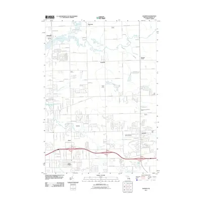 2011 Davison2011 Print · USGSThe city of Davison and its surrounding Genesee County townships are shown here during their early 21st-century growth. Genealogists and local historians can locate many rural burial sites such as Cottage Cemetery and landmarks like the Athelone Williams Memorial Airport.
 - 2011 Map of Otisville, 2011 Print
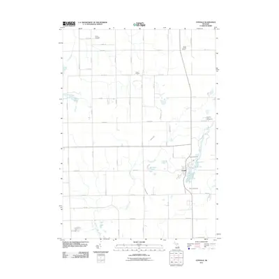 2011 Otisville2011 Print · USGSOtisville and its surrounding township are captured here at the start of the 2010s, showing a landscape defined by small lakes and rural cemeteries. Genealogists can locate Arbela Township Cemetery and Smith Hill Cemetery, or trace Butternut Creek through the countryside.
 - 2011 Map of Columbiaville, 2011 Print
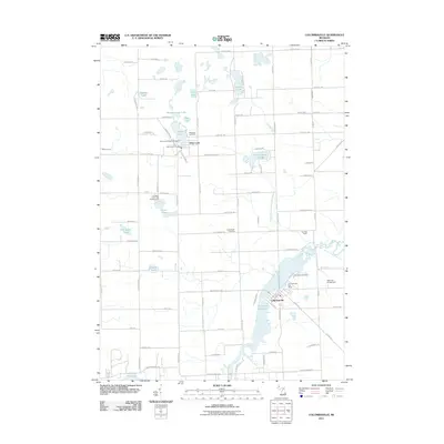 2011 Columbiaville2011 Print · USGSLapeer County's lake-filled landscape is captured here in the early twenty-first century, centered on the historic villages of Columbiaville and Otter Lake. Genealogists and local researchers can trace local landmarks like Woodlawn Cemetery, Hollenbeck Cemetery, and the banks of the Holloway Reservoir.
 - 2014 Map of Columbiaville, 2014 Print
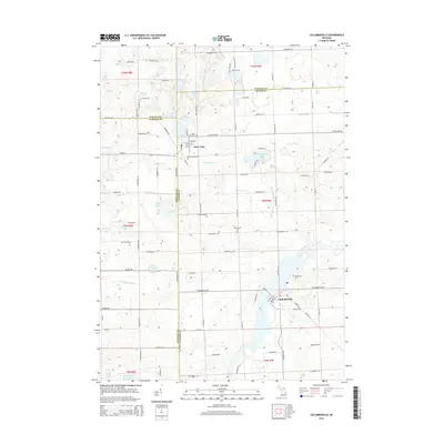 2014 Columbiaville2014 Print · USGSThe village of Columbiaville and the shoreline of the Flint River are captured in this mid-2010s survey of Lapeer County. Researchers can locate family sites and rural landmarks like Hollenbeck Cem, Otter Lake, and the edges of Holloway Reservoir.
 - 2014 Map of Elba, 2014 Print
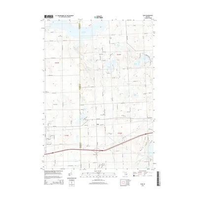 2014 Elba2014 Print · USGSElba and the Lapeer-Genesee county line are captured here in 2014, showing a landscape of scattered lakefront communities and rural homesteads. Genealogists can locate several historic burying grounds, such as Saint Johns Cemetery and Elba Township Cemetery.
 - 2014 Map of Otisville, 2014 Print
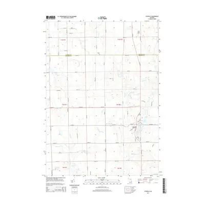 2014 Otisville2014 Print · USGSOtisville and the surrounding lake country of Genesee County are captured here in the early twenty-first century. Local historians can trace family roots at Smith Hill Cem and Hopkins Cem or map the waterways of McCormick Lake and Butternut Cr.
 - 2014 Map of Davison, 2014 Print
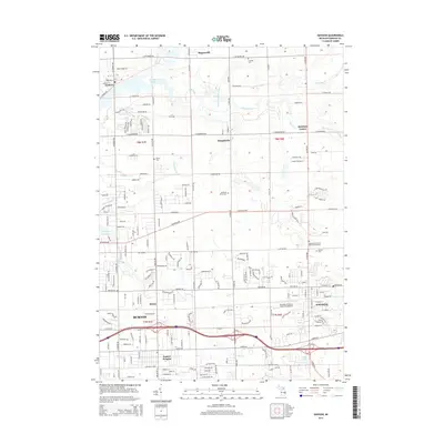 2014 Davison2014 Print · USGSGreater Flint's eastern suburbs and rural reaches come into focus during this era of suburban development and water management. Researchers can trace family history at Richfield Union Cem or locate old landmarks in Davison and Rogersville.
 - 2017 Map of Otisville, 2017 Print
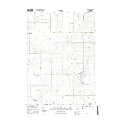 2017 Otisville2017 Print · USGSThe village of Otisville and the surrounding farmland of Genesee and Tuscola counties are captured here in the late twenty-teens. Researchers can trace family sites at Smith Hill Cem or Hopkins Cem and explore the complex drainage of Butternut Cr.
 - 2017 Map of Davison, 2017 Print
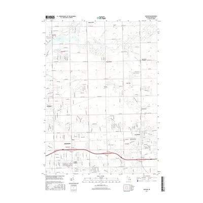 2017 Davison2017 Print · USGSThe Genesee County suburbs and rural townships come into focus here during the late 2010s. Researchers can trace family history at Richfield Union Cem or explore the drainage systems and riverbanks of Buttercup Creek and the Flint River.
 - 2017 Map of Columbiaville, 2017 Print
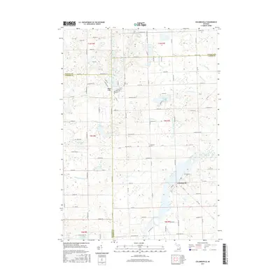 2017 Columbiaville2017 Print · USGSLapeer County at the edge of the Flint River valley is captured here in recent years as the Holloway Reservoir shapes the local landscape. Researchers can locate family sites and rural landmarks like Woodlawn Cem, Otter Lake, and the winding Clute Drain.
 - 2017 Map of Elba, 2017 Print
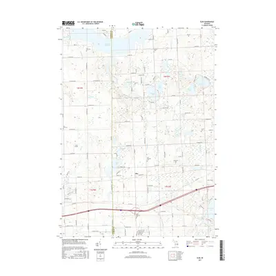 2017 Elba2017 Print · USGSThe Genesee and Lapeer County line crossroads come to life in this mid-2010s study of the Michigan thumb region. Genealogists and local historians can trace numerous rural burial sites like German Cemetery and Bentley Cemetery or locate the namesake settlement of Elba.
 - 2019 Map of Elba, 2019 Print
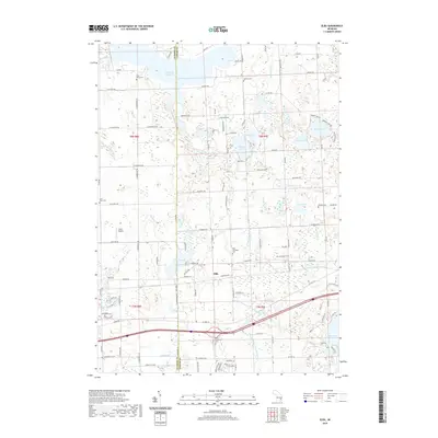 2019 Elba2019 Print · USGSElba and the surrounding lake country of Lapeer County are captured here in the late 2010s. Researchers can locate several historic burial sites like German Cem and Lamoreaux Cem, or trace the complex water network of Hasler Creek and the Holloway Reservoir.
 - 2019 Map of Otisville, 2019 Print
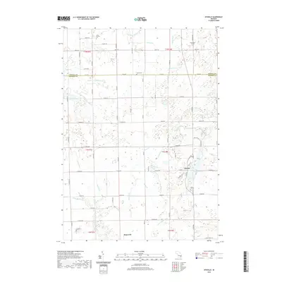 2019 Otisville2019 Print · USGSOtisville and its rural surroundings in Genesee County are captured here during a period of modern agricultural and residential continuity. Researchers can trace family sites near Smith Hill Cem, explore the shoreline of McCormick Lake, or locate the crossroads of Rogersville.
Showing maps 1-25 of 31
Top cities near Richfield Township
- Flint historical maps
- Burton historical maps
- Oxford Charter Township historical maps
- Lapeer historical maps
- Grand Blanc historical maps
- Atlas historical maps
See more
Top neighborhoods of Richfield Township
Frequently asked questions
- What are the different types of historical maps available for Richfield Township?
- What is the oldest map of Richfield Township?
- Where can I purchase historical maps of Richfield Township for my home or office?
- Where can I download high-res historical maps of Richfield Township?
- Are there historical topographic maps available for Richfield Township?
- Is there historical aerial imagery available for Richfield Township?
- Where are historical maps of Richfield Township sourced from?