Old Maps of Dunham, Marenisco Township for Metal Detecting
Plan your next treasure hunt with 13 historic maps of Dunham. Find old homesites, ghost towns, trails, and gathering spots that may be lost to time — perfect for identifying promising metal detecting locations.
- Locate forgotten sites: Uncover places like long-lost settlements, abandoned rail lines, or gathering spots.
- Plan better hunts: Use map overlays combined with LiDAR or satellite views to narrow in on historically rich areas.
- Made for detectorists: Thousands of hobbyists use these maps to discover relics, coins, and hidden history.
Use these historic maps to boost your research and find new opportunities beneath the surface of Dunham.
Dunham, Marenisco Township maps
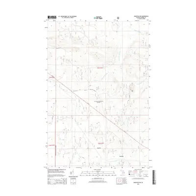
(13)- 1955 Map of Wakefield, 1957 Print
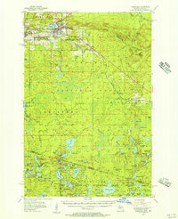 1955 Wakefield1957 Print · USGSThe iron country of the Upper Peninsula is frozen in time during the mid-fifties, showing the industrial core of the Gogebic Range. Genealogists and historians can trace the early layout of Wakefield and its surrounding mining hubs like Ramsay and Verona before the landscape of the Sunday Lake Mine was further altered.3 unique versions available
 - 1955 Map of Wakefield NE, 1957 Print
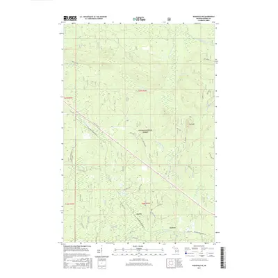
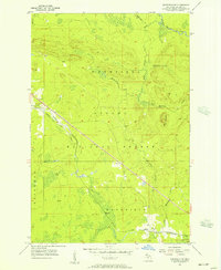 1955 Wakefield NE1957 Print · USGSUpper Peninsula timberlands and rail corridors are captured in the mid-1950s within the Ottawa National Forest. Researchers can trace the Chicago and North Western line through forest settlements like Hartley and Dunham or locate the peak of Wolf Mountain.2 unique versions available
 - 1958 Map of Iron River, 1968 Print
 1958 Iron River1968 Print · USGSThe Upper Peninsula in the late fifties is captured here as a landscape of timber, iron, and rail. Genealogists and historians can trace rail stops like Mass Station or explore the coastlines of Lake Gogebic and Keweenaw Bay.3 unique versions available
 - 1960 Map of Iron River
 1960 Iron River1960 Print · USGSThe Upper Peninsula’s western reaches are shown in the late fifties, featuring the industrial infrastructure of the Copper Country and the vast Ottawa National Forest. Researchers can trace the rail lines of the Milwaukee Road through settlements like Bruce Crossing and the White Pine Mine.
 - 1961 Map of Iron River
 1961 Iron River1961 Print · USGSThe Upper Peninsula and northern Wisconsin are shown here in the early 1960s, a landscape defined by the iron range and vast timberlands. Researchers can trace the legacy of mining and rail transport through Caspian, the Lac Du Flambeau Indian Reservation, and the Milwaukee Road.
 - 1967 Map of Iron River, 1968 Print
 1967 Iron River1968 Print · USGSThe Upper Peninsula and northern Wisconsin borderlands are shown here in the late sixties, a landscape of deep woods and iron-country rail lines. Genealogists and historians can trace the lakeside settlements of L'Anse and Ontonagon or follow the Soo Line through towns like Michigamme and Nestoria.
 - 1990 Map of Wakefield
 1990 Wakefield1990 Print · USGSThe Michigan-Wisconsin borderlands are captured here in the late twentieth century, showing the transition from an industrial rail-and-timber hub to a recreation-focused landscape. Trace the Chicago & North Western RR through Marenisco or locate landmarks like Agate Falls and Wakefield.
 - 1999 Map of Wakefield NE, 2004 Print
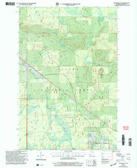 1999 Wakefield NE2004 Print · USGSThe Upper Peninsula timberlands in Gogebic County are shown here at the turn of the millennium within the Ottawa National Forest. Researchers can trace the watercourses of the Presque Isle River and locate the Hide-Away Village Landing Strip and the small settlement of Dunham.
 - 2011 Map of Wakefield NE, 2011 Print
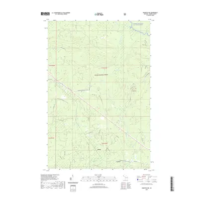
 2011 Wakefield NE2011 Print · USGSCovers Dunham, including Marenisco Township, Bessemer Township, and other nearby areas
 - 2014 Map of Wakefield NE, 2014 Print
 2014 Wakefield NE2014 Print · USGSCovers Dunham, including Marenisco Township, Bessemer Township, and other nearby areas
 - 2017 Map of Wakefield NE, 2017 Print
 2017 Wakefield NE2017 Print · USGSCovers Dunham, including Marenisco Township, Bessemer Township, and other nearby areas
 - 2019 Map of Wakefield NE, 2019 Print
 2019 Wakefield NE2019 Print · USGSCovers Dunham, including Marenisco Township, Bessemer Township, and other nearby areas
 - 2023 Map of Wakefield NE, 2023 Print
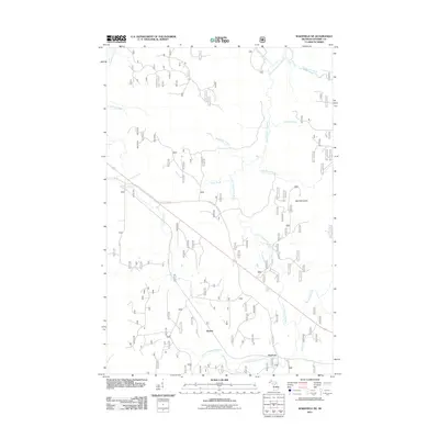
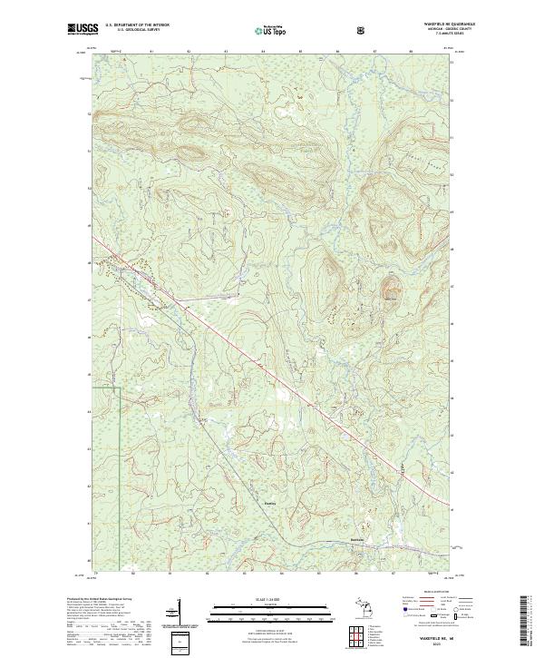 2023 Wakefield NE2023 Print · USGSGogebic County's Northwoods are surveyed here in the early twenty-first century, showing the intersection of heavy timberlands and early settlement traces. Genealogists and hikers can trace the areas around Hartley and Dunham, or locate landmarks like Wolf Mtn and the old Morgan Mine Rd.
End of results
Showing maps 1-13 of 13
Top cities near Dunham
- Wakefield historical maps
- Marenisco historical maps
- Mercer historical maps
- Boulder Junction historical maps
- Presque Isle historical maps
- Bergland historical maps
See more
Frequently asked questions
- What are the different types of historical maps available for Dunham?
- What is the oldest map of Dunham?
- Where can I purchase historical maps of Dunham for my home or office?
- Where can I download high-res historical maps of Dunham?
- Are there historical topographic maps available for Dunham?
- Is there historical aerial imagery available for Dunham?
- Where are historical maps of Dunham sourced from?