
1955 Map of Wakefield
USGS Topo · Published 1957About this map
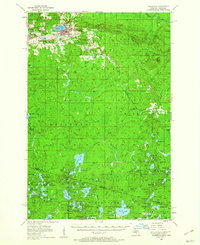
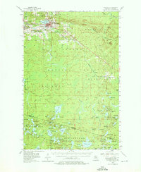
Wakefield sits at the heart of Michigan's iron-mining country in the mid-1950s, defined by its relationship with Sunday Lake and the heavy industrial landscape of the Gogebic Range. The northern edge of the map reveals the density of mid-century extraction, with the Sunday Lake Mine, Plymouth Mine, and prominent Mine Dump features surrounding the residential areas. Transportation for this ore-driven economy was provided by the Chicago and North Western railroad, which snakes through the valley connecting Verona, Ramsay, and Plymouth.
Find a feature on this map
105 named features on this map. Tap any name to fly to it.
Don’t see what you’re looking for? This feature index may not catch every label — zoom into the map to look around manually.
Map Details
Editions of this 1955 Wakefield Map
3 editions found
Other maps of this area

1939 · Trout Lake
USGS Topo · 1:48,000

1939 · Winchester
USGS Topo · 1:48,000

1940 · Mercer
USGS Topo · 1:48,000

1943 · Ironwood
USGS Topo · 1:48,000

1945 · Mercer
USGS Topo · 1:48,000

1946 · Winchester
USGS Topo · 1:48,000

1946 · Trout Lake
USGS Topo · 1:48,000

1947 · Mercer
USGS Topo · 1:48,000

1949 · Trout Lake
USGS Topo · 1:48,000

1953 · Ashland
USGS Topo · 1:250,000