Old Maps of Fayette Township, Michigan for Academic Research
Study the evolution of Fayette Township with 34 high-resolution historic maps. Whether you're teaching, researching, or modeling changes in land use, these maps provide essential visual documentation of urban, environmental, and geographic change.
- Analyze long-term change: Track patterns in development, transportation, and natural features.
- Ideal for environmental or urban studies: Support academic projects with primary historical map data.
- Use in the classroom or lab: Educators and researchers rely on these maps to bring historical context to life.
These maps are a powerful tool for teaching, research, and visualizing how Fayette Township has changed over the decades.
Fayette Township, MI maps
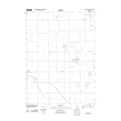
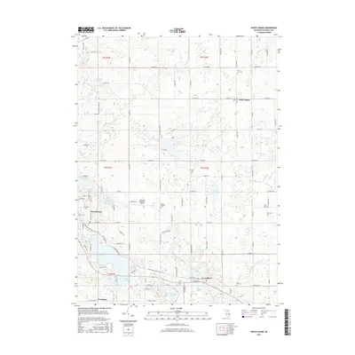
(34)- 1948 Map of Spring Arbor, 1967 Print
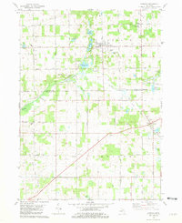
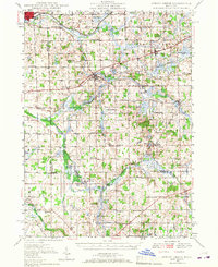 1948 Spring Arbor1967 Print · USGSJackson and Hillsdale counties are captured here just after the war, showing a rural landscape still defined by the Kalamazoo River and independent school districts. Genealogists can locate dozens of country schools like Humphrey Sch and old burial grounds such as Bath Mills Cem and Horton Cem.2 unique versions available
 - 1949 Map of Spring Arbor
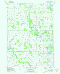
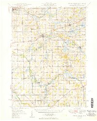 1949 Spring Arbor1949 Print · USGSSouthern Michigan's rolling farm country and river valleys are captured here at the close of the 1940s. Genealogists can trace family names at the Bayn Cem or locate the many country schools like Snyder Sch and Humphrey Sch that served this community.2 unique versions available
 - 1953 Map of Fort Wayne, 1963 Print
 1953 Fort Wayne1963 Print · USGSNortheast Indiana and its neighboring borderlands in Michigan and Ohio appear here during a peak era of rail and road expansion. Researchers can trace the massive rail networks of the Nickel Plate Road and Wabash or locate lakeside landmarks like Lake Wawasee and Clear Lake.4 unique versions available
 - 1956 Map of Fort Wayne
 1956 Fort Wayne1956 Print · USGSThe tri-state borderlands of Indiana, Michigan, and Ohio are captured here in the mid-fifties, centered on the growing industrial hub of Fort Wayne. Researchers can trace the heavy rail lines of the New York Central and Pennsylvania alongside prominent water features like Lake Wawasee and the Maumee River.2 unique versions available
 - 1958 Map of Grand Rapids, 1973 Print
 1958 Grand Rapids1973 Print · USGSSouthern Michigan at the peak of the postwar era shows a landscape of burgeoning cities and new interstate highways. Trace family roots and regional growth in Grand Rapids, Battle Creek, and the glacial lake country around Gun Lake or Gull Lake.2 unique versions available
 - 1959 Map of Hillsdale, 1960 Print
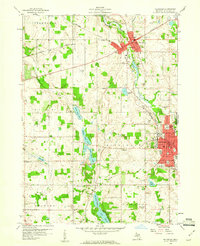 1959 Hillsdale1960 Print · USGSHillsdale and Jonesville are captured in the late fifties as thriving centers of education and rail commerce. Researchers can trace family roots at Oak Grove Cemetery, locate local landmarks like Hillsdale College, or study the vanished stops of the New York Central.2 unique versions available
 - 1959 Map of North Adams, 1960 Print
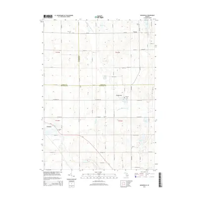
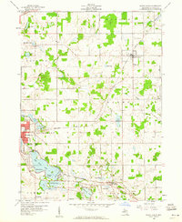 1959 North Adams1960 Print · USGSHillsdale County at the close of the 1950s shows a thriving rail-and-lake landscape centered on the village of North Adams. Researchers can trace old property lines near Stone Sch, locate family plots at Mt Pleasant Cem, and see the early layout of Osseo.3 unique versions available
 - 1961 Map of Grand Rapids
 1961 Grand Rapids1961 Print · USGSSouthern Michigan at the dawn of the 1960s reveals a region shaped by major river systems and a robust rail network. Trace mid-century industrial growth and land use from Grand Rapids to the Fort Custer Military Reservation and Gun Lake.
 - 1962 Map of Grand Rapids
 1962 Grand Rapids1962 Print · USGSMid-century Southern Michigan is mapped here at a time of massive growth, showing the expanding urban footprints of Grand Rapids and Lansing. Researchers can trace the legacy of the Grand Trunk Western RR, find historic boundaries of the Fort Custer Military Reservation, or locate sporting camps around Gun Lake.2 unique versions available
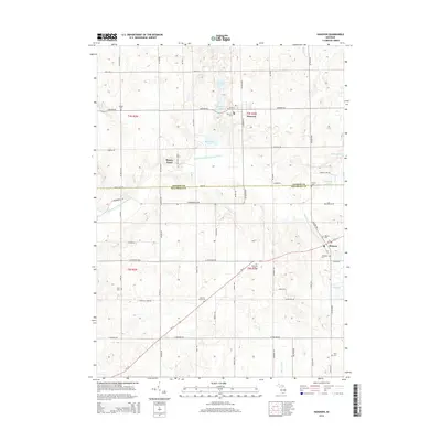
 - 1981 Map of Hanover
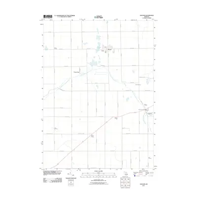
 1981 Hanover1981 Print · USGSThe Jackson and Hillsdale county line comes alive in the early eighties, showing a landscape of glacial lakes and developing energy infrastructure. Genealogists can trace family roots through numerous sites like McNair Cem, the Moscow Plains Ch, and the settlement of Mosherville Station.
 - 1981 Map of Mosherville
 1981 Mosherville1981 Print · USGSSouthern Michigan farm country in the early eighties shows a landscape of river headwaters and small crossroads settlements at the junction of three counties. Genealogists can locate several family-named burial grounds like Mount Hope Cem and Buck Cem, or trace the old Railroad Grade near Mosherville.
 - 1983 Map of Jackson, 1984 Print
 1983 Jackson1984 Print · USGSJackson and the surrounding lake country are shown in the early eighties as a hub of rail transit and outdoor recreation. Local historians can trace institutional footprints like the State Prison Farm or explore the landscape of Minards Mill and Olivet College.
 - 1985 Map of Adrian
 1985 Adrian1985 Print · USGSThe tri-state borderlands of Michigan, Indiana, and Ohio were well-established by the mid-1980s, characterized by a dense network of glacial lakes and agricultural rail hubs. Genealogists and historians can trace rail lines like the Norfolk and Western Railway and locate landmarks such as the Old Indian Treaty Cem or Riverside Cem.
 - 1990 Map of Adrian, 1991 Print
 1990 Adrian1991 Print · USGSThe Michigan and Ohio borderlands come alive in the final decade of the twentieth century, showing the intricate network of glacial lakes and small-town junctions. Genealogists and local researchers can pinpoint family landmarks from Lakeview Cem to the rail sidings of the Conrail and Norfolk Southern lines.
 - 2011 Map of Hillsdale, 2011 Print
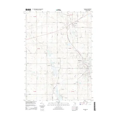
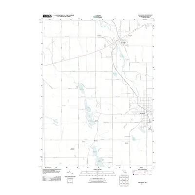 2011 Hillsdale2011 Print · USGSCovers Fayette Township, including Hillsdale, Jonesville, and other nearby areas
 - 2011 Map of North Adams, 2011 Print
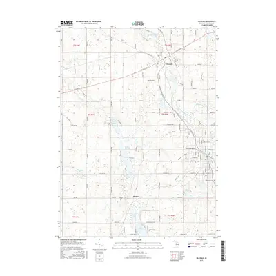
 2011 North Adams2011 Print · USGSCovers Fayette Township, including Hillsdale, North Adams, and other nearby areas
 - 2011 Map of Mosherville, 2011 Print
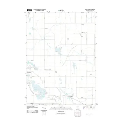
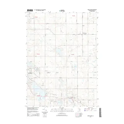
 2011 Mosherville2011 Print · USGSCovers Fayette Township, including Pulaski, Litchfield, and other nearby areas
 - 2011 Map of Hanover, 2011 Print
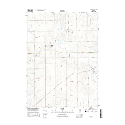
 2011 Hanover2011 Print · USGSCovers Fayette Township, including Moscow, Hanover, and other nearby areas
 - 2014 Map of Mosherville, 2014 Print
 2014 Mosherville2014 Print · USGSCovers Fayette Township, including Pulaski, Litchfield, and other nearby areas
 - 2014 Map of Hanover, 2014 Print
 2014 Hanover2014 Print · USGSCovers Fayette Township, including Moscow, Hanover, and other nearby areas
 - 2014 Map of Hillsdale, 2014 Print
 2014 Hillsdale2014 Print · USGSCovers Fayette Township, including Hillsdale, Jonesville, and other nearby areas
 - 2014 Map of North Adams, 2014 Print
 2014 North Adams2014 Print · USGSCovers Fayette Township, including Hillsdale, North Adams, and other nearby areas
 - 2017 Map of Hanover, 2017 Print
 2017 Hanover2017 Print · USGSCovers Fayette Township, including Moscow, Hanover, and other nearby areas
 - 2017 Map of Hillsdale, 2017 Print
 2017 Hillsdale2017 Print · USGSCovers Fayette Township, including Hillsdale, Jonesville, and other nearby areas
 - 2017 Map of North Adams, 2017 Print
 2017 North Adams2017 Print · USGSCovers Fayette Township, including Hillsdale, North Adams, and other nearby areas
Showing maps 1-25 of 34
Top cities near Fayette Township
- Spring Arbor Township historical maps
- Hillsdale historical maps
- Cambria historical maps
- Jonesville historical maps
- Pulaski historical maps
- Homer historical maps
See more
Frequently asked questions
- What are the different types of historical maps available for Fayette Township?
- What is the oldest map of Fayette Township?
- Where can I purchase historical maps of Fayette Township for my home or office?
- Where can I download high-res historical maps of Fayette Township?
- Are there historical topographic maps available for Fayette Township?
- Is there historical aerial imagery available for Fayette Township?
- Where are historical maps of Fayette Township sourced from?