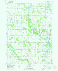
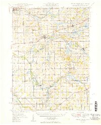
1981 Map of Mosherville
USGS Topo · Published 1981About this map
The South Branch Kalamazoo River and the St Joseph River define the hydraulic landscape of this rural Michigan borderland where Jackson, Hillsdale, and Calhoun counties meet. By the early 1980s, the area maintained a quiet agricultural character, centered on the historic village of Mosherville and the nearby Mosherville Station. The map captures a transition in transport, noting an old Railroad Grade while maintaining a network of alphabetized rural routes like R Drive South and T Drive South.
Find a feature on this map
47 named features on this map. Tap any name to fly to it.
Don’t see what you’re looking for? This feature index may not catch every label — zoom into the map to look around manually.
Map Details
Editions of this 1981 Mosherville Map
This is the sole edition of this map. No revisions or reprints were ever made.
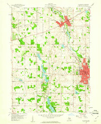
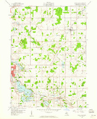
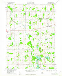
Other maps of this area
1948 · Spring Arbor
USGS Topo · 1:62,500
1948 · Homer
USGS Topo · 1:62,500
1949 · Homer
USGS Topo · 1:62,500
1949 · Spring Arbor
USGS Topo · 1:62,500

1953 · Fort Wayne
USGS Topo · 1:250,000

1956 · Fort Wayne
USGS Topo · 1:250,000

1958 · Grand Rapids
USGS Topo · 1:250,000
1959 · Hillsdale
USGS Topo · 1:24,000
1959 · North Adams
USGS Topo · 1:24,000
1960 · Allen
USGS Topo · 1:24,000
Featured Places
- Pulaski, Pulaski Township
- Litchfield, MI
- Litchfield Township, MI
- Homer Township, MI
- Fayette Township, MI