
1959 Map of North Adams
USGS Topo · Published 1960About this map
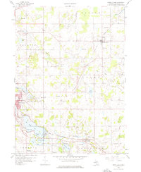
North Adams sits at the junction of the New York Central railroad and local transport lines in this late 1950s landscape. The map reveals a transition between the developed streets of Hillsdale and the agricultural surroundings of Adams and Fayette townships. Water dominates the southwestern corner, where the Baw Beese Lake chain provides a natural focal point near the Hillsdale Country Club. Further east, the small settlement of Osseo marks another stop along the rail line, while Steamburg remains a distinct locality to the south.
Find a feature on this map
51 named features on this map. Tap any name to fly to it.
Don’t see what you’re looking for? This feature index may not catch every label — zoom into the map to look around manually.
Map Details
Editions of this 1959 North Adams Map
3 editions found
Other maps of this area

1935 · Jackson
USGS Topo · 1:48,000

1939 · Jackson
USGS Topo · 1:62,500

1948 · Spring Arbor
USGS Topo · 1:62,500

1949 · Spring Arbor
USGS Topo · 1:62,500

1953 · Fort Wayne
USGS Topo · 1:250,000

1956 · Fort Wayne
USGS Topo · 1:250,000

1958 · Grand Rapids
USGS Topo · 1:250,000

1959 · Hillsdale
USGS Topo · 1:24,000

1959 · Reading
USGS Topo · 1:24,000

1959 · Frontier
USGS Topo · 1:24,000