
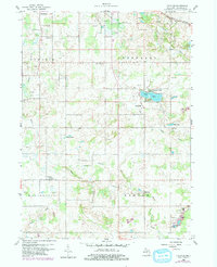
1959 Map of Frontier
USGS Topo · Published 1960About this map
Frontier and the surrounding townships of Cambria, Jefferson, Woodbridge, and Ransom define this late-1950s landscape in southern Michigan. The area is characterized by a high concentration of burial grounds, including the Morgan Cem, Wild Cherry Cem, and Frontier Cem, providing significant data points for genealogical research. The rail economy is represented by the New York Central corridor in the northeast, while the local geography is shaped by the East Branch St Joseph River and the engineered drainage of the Nile Ditch. Small lakeside communities like Fountain Park on Bird Lake and Shadyside contrast with the agricultural and industrial activity evidenced by numerous Gravel Pits scattered across the quadrangle. From Steamburg in the northwest to the crossing at Laird Creek, the map captures a rural network of schools and family-named landmarks just before further modernization altered the region.
Find a feature on this map
29 named features on this map. Tap any name to fly to it.
Don’t see what you’re looking for? This feature index may not catch every label — zoom into the map to look around manually.
Map Details
Editions of this 1959 Frontier Map
2 editions found
Other maps of this area

1913 · Alvordton
USGS Topo · 1:62,500

1914 · Pioneer
USGS Topo · 1:62,500

1944 · Pioneer
USGS Topo · 1:62,500

1944 · Alvordton
USGS Topo · 1:62,500

1953 · Fort Wayne
USGS Topo · 1:250,000

1956 · Fort Wayne
USGS Topo · 1:250,000

1959 · Hillsdale
USGS Topo · 1:24,000

1959 · Reading
USGS Topo · 1:24,000

1959 · North Adams
USGS Topo · 1:24,000
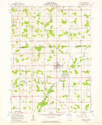
1961 · Pioneer
USGS Topo · 1:24,000