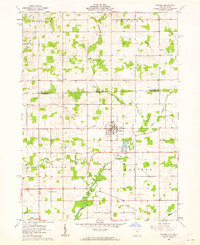
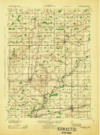
1961 Map of Pioneer
USGS Topo · Published 1962About this map
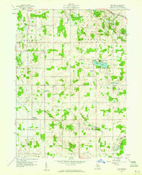
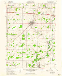
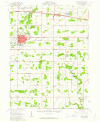
The village of Pioneer serves as the central hub of this agricultural landscape along the Michigan Ohio border in the early 1960s. The area is defined by the convergence of the East Branch and West Branch of the St Joseph River, which winds through the southern townships. The rural character of the region is evident in the dense network of family and community landmarks, including several schools and churches like Amboy Ch and Silver Creek Ch that anchored these farming communities.
Find a feature on this map
27 named features on this map. Tap any name to fly to it.
Don’t see what you’re looking for? This feature index may not catch every label — zoom into the map to look around manually.
Map Details
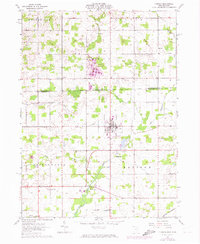
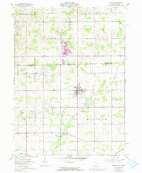
Editions of this 1961 Pioneer Map
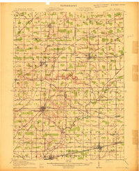
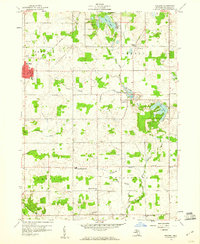
Other maps of this area
1913 · Alvordton
USGS Topo · 1:62,500
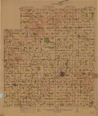
1914 · Pioneer
USGS Topo · 1:62,500
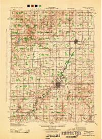
1944 · Pioneer
USGS Topo · 1:62,500
1944 · Alvordton
USGS Topo · 1:62,500

1953 · Fort Wayne
USGS Topo · 1:250,000

1956 · Fort Wayne
USGS Topo · 1:250,000
1959 · Reading
USGS Topo · 1:24,000
1959 · Frontier
USGS Topo · 1:24,000
1961 · West Unity
USGS Topo · 1:24,000
1961 · Montpelier
USGS Topo · 1:24,000
Featured Places
- Pioneer, Madison Township
- Holiday City, OH
- Woodbridge Township, MI
- Madison Township, OH
- Jim Town, Bridgewater Township