2020s Maps of Pittsford Township, Michigan
Explore 4 historic maps of Pittsford Township from the 2020s. These maps offer a rare glimpse into what life looked like during the 2020s — showing old roads, neighborhoods, homes, and landmarks that have changed or disappeared over time.
Whether you're researching your family's past, planning a metal detecting trip, or studying how Pittsford Township's landscape evolved across the 2020s, these high-resolution maps are a powerful tool for exploring the history of this region.
- Focus on a specific era: All maps on this page are from the 2020s, giving you a focused view of this time period.
- See what’s changed: Compare century-old streets, trails, and buildings to today's modern landscape using overlays and satellite layers.
- Research with precision: Use these maps for genealogy, historical research, land use analysis, or educational projects.
- View, download, or print: Maps are fully viewable online in high resolution, and can be downloaded or printed for your own records.
Start exploring Pittsford Township's history through authentic maps from the 2020s. This is your window into the past.
Pittsford Township, MI maps
(4)- 2023 Map of Addison, 2023 Print
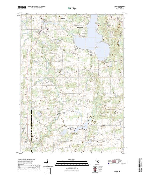 2023 Addison2023 Print · USGSThe village of Addison and the recreational shores of Devils Lake are documented here in the early twenty-first century. Researchers can trace family history through several local burial grounds, including Quaker Cem, Binns Cem, and the Rollin Center Cem.
 - 2023 Map of Hudson, 2023 Print
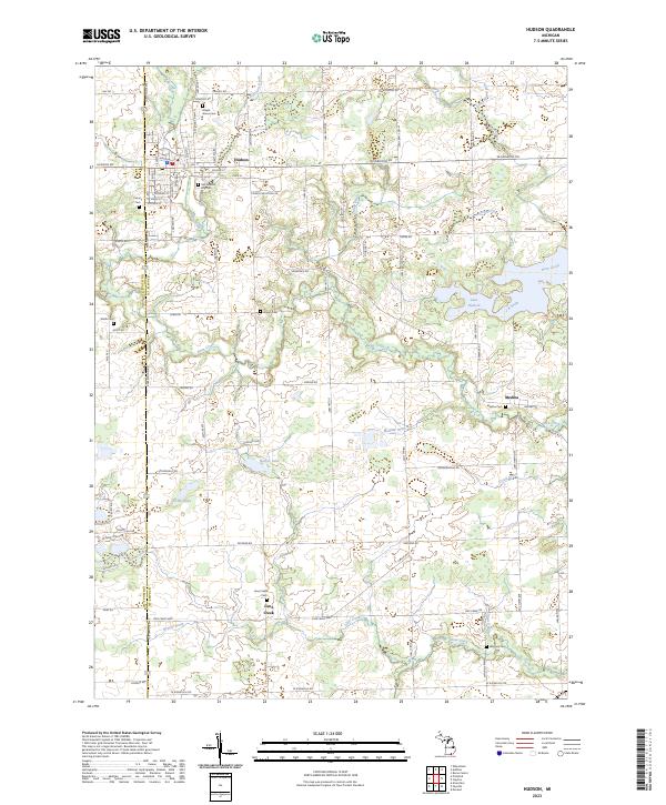 2023 Hudson2023 Print · USGSHudson and its surrounding rural townships are shown here in the early 2020s, highlighting the area's deep agricultural and civic roots. Genealogists can locate several local burial sites including Maple Grove Cem, Medina Cem, and Whitney Cem near the banks of Bean Creek.
 - 2023 Map of Wheatland, 2023 Print
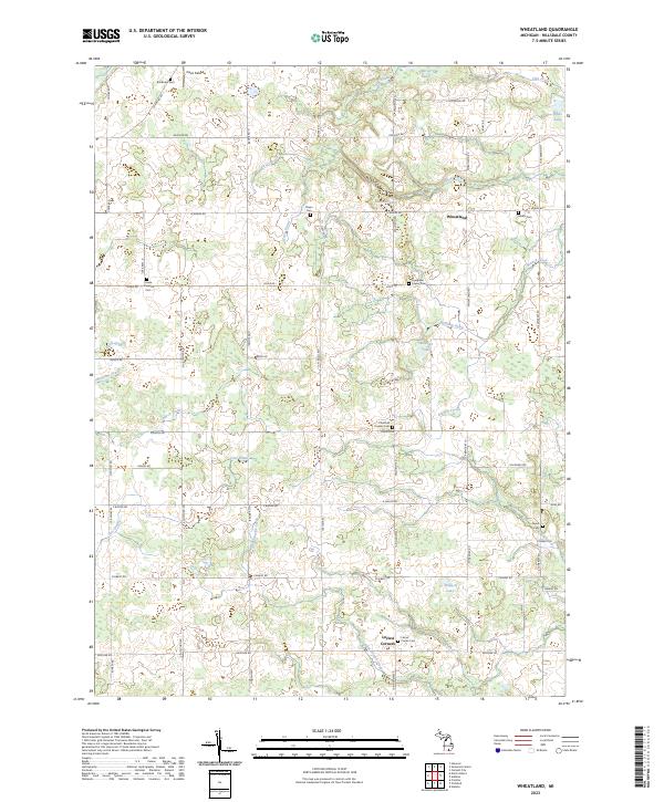 2023 Wheatland2023 Print · USGSHillsdale County's agricultural heartland is documented here in the early twenty-first century, showing a landscape deeply rooted in its nineteenth-century settlement patterns. Genealogists can locate numerous family-named burial sites like Dibble Cem and Pease Cem along the quiet reaches of Saint Joseph Creek.
 - 2023 Map of Pittsford, 2023 Print
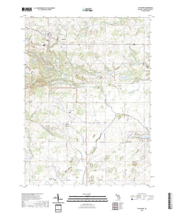 2023 Pittsford2023 Print · USGSHillsdale County's rural townships are documented here in recent years, showing a landscape defined by glacial lakes and old village centers. Researchers can trace family history through sites like Bacon Farm Grave, Lickly Corners, and Goodrich Cem.
End of results
Showing maps 1-4 of 4
Top cities near Pittsford Township
- Hillsdale historical maps
- Somerset historical maps
- Rollin Township historical maps
- Rollin historical maps
- Hudson historical maps
- Morenci historical maps
See more
Top neighborhoods of Pittsford Township
Frequently asked questions
- What are the different types of historical maps available for Pittsford Township?
- What is the oldest map of Pittsford Township?
- Where can I purchase historical maps of Pittsford Township for my home or office?
- Where can I download high-res historical maps of Pittsford Township?
- Are there historical topographic maps available for Pittsford Township?
- Is there historical aerial imagery available for Pittsford Township?
- Where are historical maps of Pittsford Township sourced from?