2020s Maps of Duncan Township, Michigan
Explore 6 historic maps of Duncan Township from the 2020s. These maps offer a rare glimpse into what life looked like during the 2020s — showing old roads, neighborhoods, homes, and landmarks that have changed or disappeared over time.
Whether you're researching your family's past, planning a metal detecting trip, or studying how Duncan Township's landscape evolved across the 2020s, these high-resolution maps are a powerful tool for exploring the history of this region.
- Focus on a specific era: All maps on this page are from the 2020s, giving you a focused view of this time period.
- See what’s changed: Compare century-old streets, trails, and buildings to today's modern landscape using overlays and satellite layers.
- Research with precision: Use these maps for genealogy, historical research, land use analysis, or educational projects.
- View, download, or print: Maps are fully viewable online in high resolution, and can be downloaded or printed for your own records.
Start exploring Duncan Township's history through authentic maps from the 2020s. This is your window into the past.
Duncan Township, MI maps
(6)- 2023 Map of Marten Lake, 2023 Print
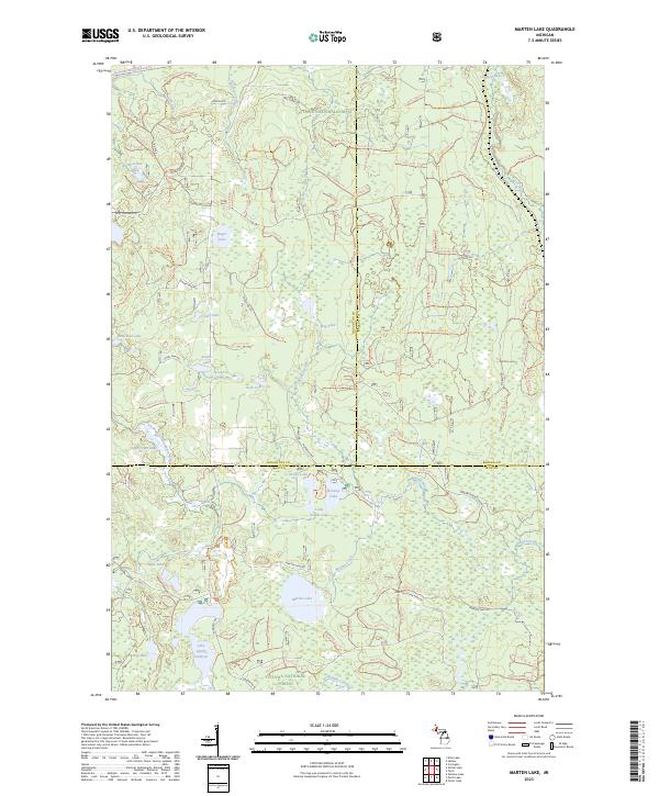 2023 Marten Lake2023 Print · USGSUpper Peninsula wilderness at the junction of Houghton, Baraga, and Iron counties is detailed in this recent survey. Trace the protected Ontonagon Wild and Scenic River and find remote landmarks like Lake Sainte Kathryn and Norway Lake.
 - 2023 Map of Sidnaw, 2023 Print
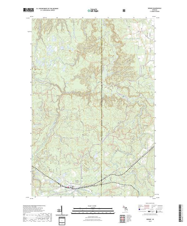 2023 Sidnaw2023 Print · USGSIn the heart of the Upper Peninsula, this area shows the intersection of forest management and remote settlement during the 2020s. Researchers can locate the Sidnaw Cem, trace the Sturgeon River through its wilderness gorge, and find Prickett-Grooms Field.
 - 2023 Map of Kenton, 2023 Print
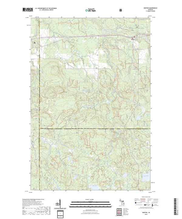 2023 Kenton2023 Print · USGSThe Upper Peninsula backcountry near Kenton is documented here as it appeared recently, dominated by the Ottawa National Forest. Researchers can locate family sites at the Kenton Cem or trace the winding waters of the Jumbo River past Dumpy Falls and Lake Twentyeight.
 - 2023 Map of Glitter Lake, 2023 Print
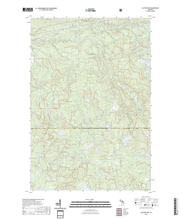 2023 Glitter Lake2023 Print · USGSThe Northwoods of the Upper Peninsula are documented here in recent detail, spanning the border of Houghton and Iron Counties. You can trace modern forest access and land use along the Ontonagon Wild and Scenic River or locate the remote Kitchie Cem.
 - 2023 Map of Sparrow Rapids, 2023 Print
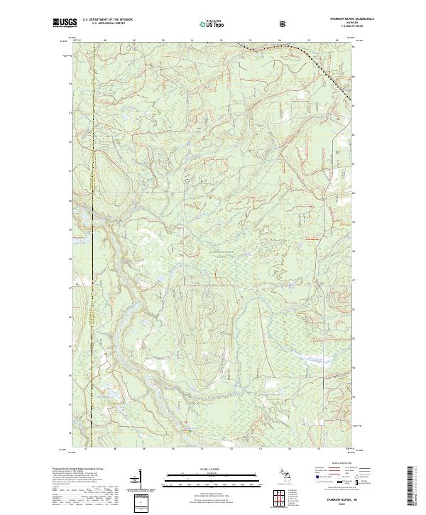 2023 Sparrow Rapids2023 Print · USGSThe Upper Peninsula’s western interior comes into focus here, where the East Branch Ontonagon River winds through the woods. Researchers can trace the varied forest trail network or locate remote landmarks like Onion Falls and Sparrow Rapids.
 - 2023 Map of Echo Lake, 2023 Print
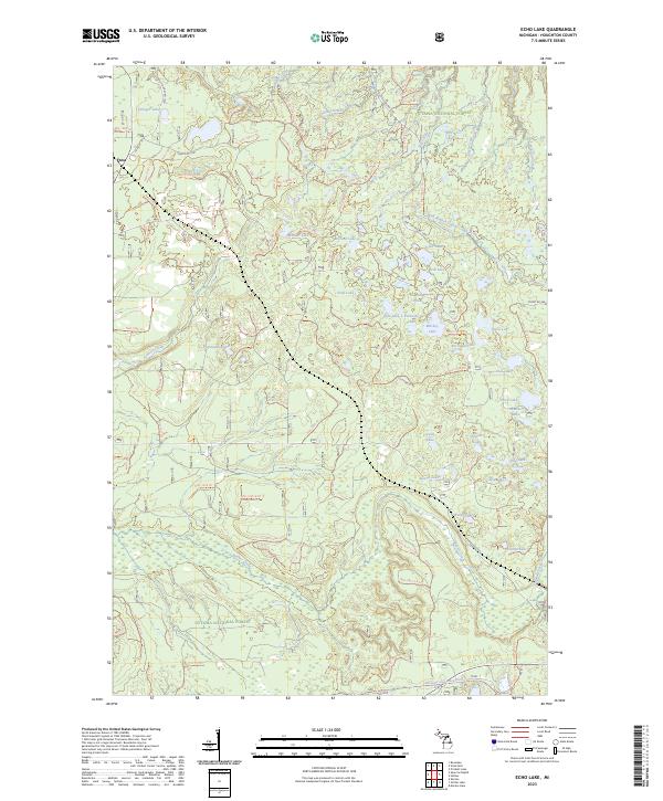 2023 Echo Lake2023 Print · USGSUpper Peninsula timberlands and the Ottawa National Forest are shown here in modern detail. Researchers can trace the backcountry trail network and numerous named water bodies like Penegor Lake, Silver River, and Beaver Creek.
End of results
Showing maps 1-6 of 6
Top neighborhoods of Duncan Township
Frequently asked questions
- What are the different types of historical maps available for Duncan Township?
- What is the oldest map of Duncan Township?
- Where can I purchase historical maps of Duncan Township for my home or office?
- Where can I download high-res historical maps of Duncan Township?
- Are there historical topographic maps available for Duncan Township?
- Is there historical aerial imagery available for Duncan Township?
- Where are historical maps of Duncan Township sourced from?