Old Maps of Duncan Township, Michigan for Academic Research
Study the evolution of Duncan Township with 52 high-resolution historic maps. Whether you're teaching, researching, or modeling changes in land use, these maps provide essential visual documentation of urban, environmental, and geographic change.
- Analyze long-term change: Track patterns in development, transportation, and natural features.
- Ideal for environmental or urban studies: Support academic projects with primary historical map data.
- Use in the classroom or lab: Educators and researchers rely on these maps to bring historical context to life.
These maps are a powerful tool for teaching, research, and visualizing how Duncan Township has changed over the decades.
Duncan Township, MI maps
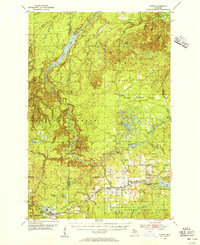
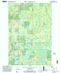
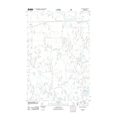
(52)- 1895 Map of Perch Lake
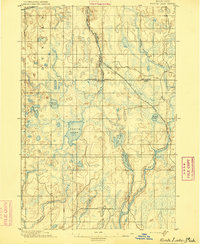 1895 Perch Lake1895 Print · USGSThe Upper Peninsula wilderness comes into focus in the mid-1890s as railroads began to pierce the deep woods of Iron and Baraga counties. Genealogists and historians can trace early rail routes like the D. S. S. and A. R. R. and remote waters such as Perch Lake and the Net River.3 unique versions available
 - 1954 Map of Rousseau, 1956 Print
 1954 Rousseau1956 Print · USGSHoughton and Ontonagon counties in the mid-1950s reveal a landscape defined by forestry and the reach of the rail lines. Researchers can trace the routes of the Chicago Milwaukee St Paul and Pacific Railroad and find sites like the Michigan College of Mining Forestry Camp and Rousseau.3 unique versions available
 - 1954 Map of Kenton, 1956 Print
 1954 Kenton1956 Print · USGSThe Upper Peninsula rail corridors and timberlands are well-defined in the mid-1950s, centering on the crossing of the Duluth South Shore and Atlantic. Researchers can locate historic sites like the Kenton Cemetery, Holmes Dam, and the old Lookout Tower.3 unique versions available
 - 1954 Map of Perch Lake, 1956 Print
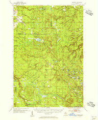
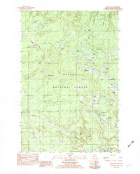
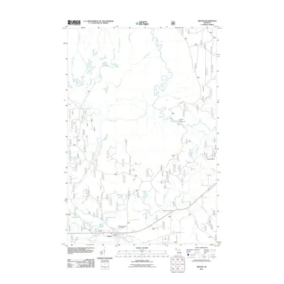
 1954 Perch Lake1956 Print · USGSUpper Peninsula timberlands and glacial lakes are shown here during the mid-fifties at the meeting of Houghton, Baraga, and Iron Counties. Trace the Milwaukee Road rail line through Tunis or locate the Lookout Tower and Snake Rapids.3 unique versions available
 - 1954 Map of Sidnaw, 1956 Print
 1954 Sidnaw1956 Print · USGSUpper Peninsula timber and rail country come to life in this mid-century survey of the Baraga County highlands. Researchers can trace the junction of two major railroads and locate local landmarks like the Covington Cem, Sturgeon Falls, and the Prickett Dam.2 unique versions available
 - 1958 Map of Iron River, 1968 Print
 1958 Iron River1968 Print · USGSThe Upper Peninsula in the late fifties is captured here as a landscape of timber, iron, and rail. Genealogists and historians can trace rail stops like Mass Station or explore the coastlines of Lake Gogebic and Keweenaw Bay.3 unique versions available
 - 1960 Map of Iron River
 1960 Iron River1960 Print · USGSThe Upper Peninsula’s western reaches are shown in the late fifties, featuring the industrial infrastructure of the Copper Country and the vast Ottawa National Forest. Researchers can trace the rail lines of the Milwaukee Road through settlements like Bruce Crossing and the White Pine Mine.
 - 1961 Map of Iron River
 1961 Iron River1961 Print · USGSThe Upper Peninsula and northern Wisconsin are shown here in the early 1960s, a landscape defined by the iron range and vast timberlands. Researchers can trace the legacy of mining and rail transport through Caspian, the Lac Du Flambeau Indian Reservation, and the Milwaukee Road.
 - 1967 Map of Iron River, 1968 Print
 1967 Iron River1968 Print · USGSThe Upper Peninsula and northern Wisconsin borderlands are shown here in the late sixties, a landscape of deep woods and iron-country rail lines. Genealogists and historians can trace the lakeside settlements of L'Anse and Ontonagon or follow the Soo Line through towns like Michigamme and Nestoria.
 - 1982 Map of Sparrow Rapids, 1983 Print
 1982 Sparrow Rapids1983 Print · USGSIn the early eighties, this stretch of the Upper Peninsula was a landscape of dense timber and winding waterways along the East Branch Ontonagon River. Genealogists and historians can trace the paths of an Old RR Grade and find early recreational landmarks like the Sparrow Rapids Campground and Onion Falls.
 - 1982 Map of Echo Lake, 1983 Print
 1982 Echo Lake1983 Print · USGSHoughton County’s backcountry in the early eighties was a landscape of timber and rail within the Ottawa National Forest. Genealogists and outdoorsmen can trace the Escanaba and Lake Superior rail line as it passes through Frost and Connors near Echo Lake.
 - 1982 Map of Kenton, 1983 Print
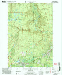
 1982 Kenton1983 Print · USGSUpper Peninsula timber and river lands come into focus during the early eighties, centered on the settlement of Kenton. Researchers can trace the Old RR Grade through the Ottawa National Forest and locate family landmarks like the local Cem or the camps near Tepee Lake.
 - 1982 Map of Glitter Lake, 1983 Print
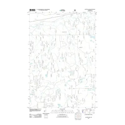
 1982 Glitter Lake1983 Print · USGSUpper Michigan's lake country is captured here in the early eighties, spanning the wooded border between Houghton and Iron counties. Researchers can trace the water systems of the Ottawa National Forest, from Passmore Springs to remote shores like Glitter Lake and Lake Thirteen.
 - 1985 Map of Sidnaw, 1986 Print
 1985 Sidnaw1986 Print · USGSThe community of Sidnaw and the surrounding timberlands of the Ottawa National Forest are captured here in the mid-1980s. Local history researchers can trace the old Sid RR Grade, explore the edges of the L'Anse Indian Reservation, and locate family camps near St George Lake.
 - 1985 Map of Marten Lake, 1986 Print
 1985 Marten Lake1986 Print · USGSThe Upper Peninsula wilderness near the Houghton and Iron County line is captured here in the mid-1980s. Trace the remote waters of Lake Sainte Kathryn, locate the Roadside Spring by Kunze Lake, and explore the glacial landscape of the Ottawa National Forest.
 - 1989 Map of Iron River, 1990 Print
 1989 Iron River1990 Print · USGSUpper Peninsula mining and timber lands are documented here in the late 1980s, showcasing the region's industrial and natural interface. Researchers can trace the iron heritage through the Monongahela Mine and local junctions like Kelso Junction and Amasa.
 - 1991 Map of L'Anse
 1991 L'Anse1991 Print · USGSUpper Peninsula life in the early nineties centered on the waters of Keweenaw Bay and the timber-rich highlands of the Huron Mountains. Genealogists and researchers can trace the rail-and-road connections between L'Anse, Baraga, and smaller communities like Pequaming and Assinins.2 unique versions available
 - 1999 Map of Kenton, 2004 Print
 1999 Kenton2004 Print · USGSThe Ottawa National Forest near the Houghton and Iron county borders is shown here as it transitioned into the twenty-first century. Genealogists and outdoor historians can trace the settlement at Kenton, the riverside Cem, and local landmarks like Jumbo Falls or Tepee Lake.
 - 1999 Map of Marten Lake, 2004 Print
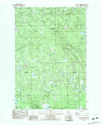
 1999 Marten Lake2004 Print · USGSThe northern Michigan wilderness at the close of the century is defined here by the dense lake-and-forest terrain of the Ottawa National Forest. Researchers can trace the winding Sidnaw Interpretive Trail or locate remote water bodies like Lake Sainte Kathryn and Hager Lake.
 - 1999 Map of Sidnaw, 2004 Print
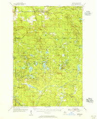
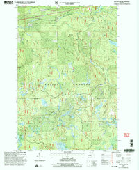
 1999 Sidnaw2004 Print · USGSThe Upper Peninsula village of Sidnaw is shown at the close of the twentieth century, surrounded by the deep woods of the Ottawa National Forest. Researchers can locate the local Cem, the Prickett Grooms Landing Strip, and the remote Sturgeon River Gorge Wilderness.
 - 1999 Map of Glitter Lake, 2004 Print
 1999 Glitter Lake2004 Print · USGSThe border of Houghton and Iron counties was a densely forested wilderness of glacial lakes and wetlands at the close of the century. Genealogists and historians can trace family-named landmarks like Kitchi Cem, Beitner Lake, and Passmore Springs.
 - 1999 Map of Sparrow Rapids, 2004 Print
 1999 Sparrow Rapids2004 Print · USGSThe wilderness surrounding Kenton at the end of the millennium is meticulously mapped here, showing the intersection of forest management and local history. Researchers can locate the Camp Kenton CCC Camp Site, the Site of 1986 National Christmas Tree, and numerous creeks feeding the East Branch Ontonagon River.
 - 2011 Map of Kenton, 2011 Print
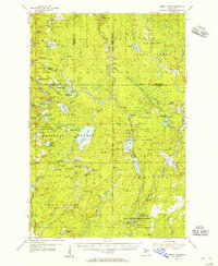
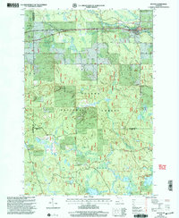
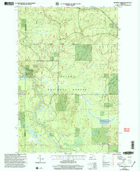
 2011 Kenton2011 Print · USGSCovers Duncan Township, including Interior Township, Iron River Township, and other nearby areas
 - 2011 Map of Sidnaw, 2011 Print
 2011 Sidnaw2011 Print · USGSCovers Duncan Township, including Baraga Township, Covington Township, and other nearby areas
 - 2011 Map of Glitter Lake, 2011 Print
 2011 Glitter Lake2011 Print · USGSCovers Duncan Township, including Bates Township, Iron River Township, and other nearby areas
Showing maps 1-25 of 52
Top neighborhoods of Duncan Township
Frequently asked questions
- What are the different types of historical maps available for Duncan Township?
- What is the oldest map of Duncan Township?
- Where can I purchase historical maps of Duncan Township for my home or office?
- Where can I download high-res historical maps of Duncan Township?
- Are there historical topographic maps available for Duncan Township?
- Is there historical aerial imagery available for Duncan Township?
- Where are historical maps of Duncan Township sourced from?