Old Maps of Tamarack, Michigan for Academic Research
Study the evolution of Tamarack with 13 high-resolution historic maps. Whether you're teaching, researching, or modeling changes in land use, these maps provide essential visual documentation of urban, environmental, and geographic change.
- Analyze long-term change: Track patterns in development, transportation, and natural features.
- Ideal for environmental or urban studies: Support academic projects with primary historical map data.
- Use in the classroom or lab: Educators and researchers rely on these maps to bring historical context to life.
These maps are a powerful tool for teaching, research, and visualizing how Tamarack has changed over the decades.
Tamarack, MI maps
(13)- 1946 Map of Laurium, 1974 Print
 1946 Laurium1974 Print · USGSThe Michigan Copper Country comes into sharp focus during the late 1940s, highlighting the industrial shoreline of Torch Lake. Genealogists and historians can trace the rail networks of the Mineral Range Railroad and locate vanished local landmarks like Quincy Mill and Osceola Sch.2 unique versions available
 - 1948 Map of Laurium
 1948 Laurium1948 Print · USGSThe Michigan Copper Country is frozen in time during the late 1940s, showing the heavy industrial footprint of the Keweenaw Peninsula. Genealogists can trace family footprints from Calumet to Lake Linden, locating old schools like Osceola Sch and the lakeside Quincy Mill.2 unique versions available
 - 1958 Map of Hancock, 1967 Print
 1958 Hancock1967 Print · USGSThe Keweenaw Peninsula and Isle Royale are seen here during the mid-twentieth century as mining and maritime hubs. Trace the dense town layouts of Hancock and Calumet, or locate remote coastal markers like the Eagle Harbor Lighthouse and Rock of Ages Light.2 unique versions available
 - 1960 Map of Hancock
 1960 Hancock1960 Print · USGSThe Keweenaw Peninsula and Isle Royale are captured in detail during the late 1950s. Researchers can trace copper-mining era settlements like Calumet and Laurium, or locate remote maritime landmarks such as the Isle Royale Lighthouse.
 - 1961 Map of Hancock
 1961 Hancock1961 Print · USGSThe Keweenaw Peninsula and Isle Royale are shown here at the start of the 1960s, featuring the region's historic copper mining and maritime infrastructure. Genealogists and researchers can trace local families through settlements like Atlantic Mine and Painesdale, or locate remote landmarks including Rock of Ages Light and Eagle Harbor.
 - 1966 Map of Hancock, 1987 Print
 1966 Hancock1987 Print · USGSThe Keweenaw Peninsula and Isle Royale are captured in the mid-1960s during a pivotal era for Michigan’s Copper Country. Trace the industrial footprint of the SOO LINE through Calumet or locate historic maritime landmarks like Fort Wilkins and Rock of Ages Light.
 - 1978 Map of Laurium, 1980 Print
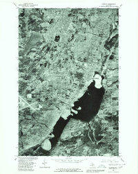 1978 Laurium1980 Print · USGSThe Keweenaw Peninsula’s copper-mining heartland is seen in detail during the late 1970s, from the upland streets of Calumet to the industrial shores of Torch Lake. Genealogists and historians can trace the property lines and neighborhoods of Laurium, Lake Linden, and the lakeside community of Mason.
 - 1985 Map of Hancock
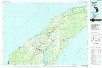 1985 Hancock1985 Print · USGSThe Keweenaw Peninsula in the mid-1980s reveals a landscape shaped by copper and the Great Lakes. You can trace the industrial legacy of the region through the Quincy Mine, the Old RR Grade, and old cemeteries like Forest Hill Cem.3 unique versions available
 - 2011 Map of Laurium, 2011 Print
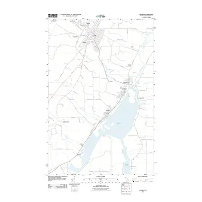 2011 Laurium2011 Print · USGSThe copper country of the Keweenaw Peninsula is shown here during its modern era, spanning from the industrial shores of Torch Lake to the historic streets of Laurium. Researchers can trace old mining-related settlements like Mason and Swedetown or locate family plots at Hecla Cemetery.
 - 2014 Map of Laurium, 2014 Print
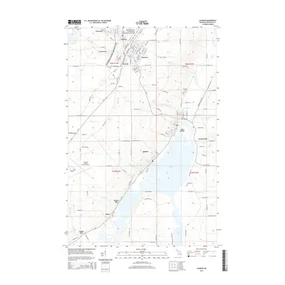 2014 Laurium2014 Print · USGSThe Keweenaw Peninsula's mining legacy remains etched into the landscape of the early twenty-first century, from the dense streets of Calumet to the shores of Torch Lake. Genealogists and historians can trace local family roots at Hecla Cem or locate the industrial sites at Quincy Mill and Hubbell.
 - 2017 Map of Laurium, 2017 Print
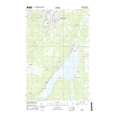 2017 Laurium2017 Print · USGSThe Michigan Copper Country remains a focal point for history in the late 2010s, centered on the Keweenaw National Historical Park. Researchers can trace old neighborhood grids in Laurium or locate family burial sites at Maple Hill Cem and Calvary Cem.
 - 2019 Map of Laurium, 2019 Print
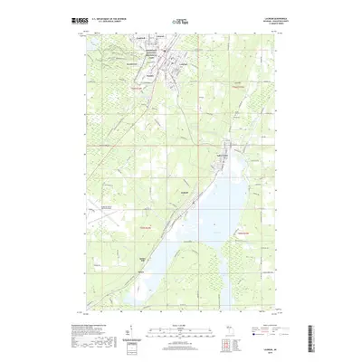 2019 Laurium2019 Print · USGSCalumet and Laurium sit at the heart of Michigan's Copper Country on this modern survey. Researchers can trace historic industrial sites like Quincy Mill, family heritage at Maple Hill Cem, and miles of local paths like the Bunker Trail.
 - 2023 Map of Laurium, 2023 Print
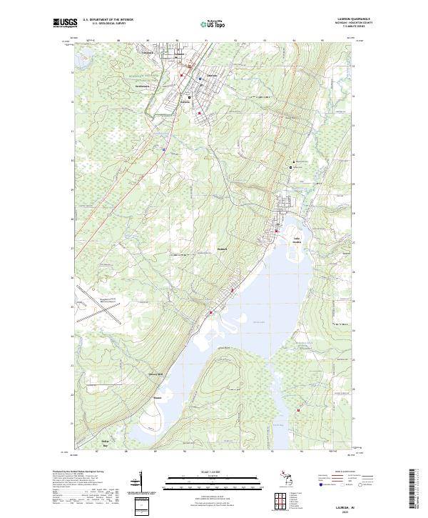 2023 Laurium2023 Print · USGSUpper Peninsula copper mining country is mapped in detail during the early 2020s, showing the enduring footprints of industrial centers. Researchers can trace historic neighborhoods from Calumet and Laurium down to the milling sites at Quincy Mill and Torch Lake.
End of results
Showing maps 1-13 of 13
Top cities near Tamarack
- Houghton historical maps
- Hancock historical maps
- Laurium historical maps
- Osceola historical maps
- Chassell historical maps
- Allouez historical maps
See more
Frequently asked questions
- What are the different types of historical maps available for Tamarack?
- What is the oldest map of Tamarack?
- Where can I purchase historical maps of Tamarack for my home or office?
- Where can I download high-res historical maps of Tamarack?
- Are there historical topographic maps available for Tamarack?
- Is there historical aerial imagery available for Tamarack?
- Where are historical maps of Tamarack sourced from?