Old Maps of Grant Township, Michigan for Academic Research
Study the evolution of Grant Township with 27 high-resolution historic maps. Whether you're teaching, researching, or modeling changes in land use, these maps provide essential visual documentation of urban, environmental, and geographic change.
- Analyze long-term change: Track patterns in development, transportation, and natural features.
- Ideal for environmental or urban studies: Support academic projects with primary historical map data.
- Use in the classroom or lab: Educators and researchers rely on these maps to bring historical context to life.
These maps are a powerful tool for teaching, research, and visualizing how Grant Township has changed over the decades.
Grant Township, MI maps
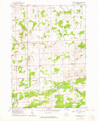
(27)- 1954 Map of Flint, 1968 Print
 1954 Flint1968 Print · USGSThe industrial corridor and fertile Thumb region of Michigan come alive in this mid-century survey. Genealogists and historians can trace the rail networks of the Grand Trunk, locate established settlements like Bad Axe and Sandusky, or explore the 1950s shoreline along Saginaw Bay.4 unique versions available
 - 1958 Map of Flint
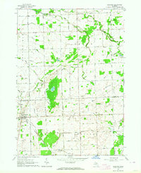
 1958 Flint1958 Print · USGSThe Michigan Thumb and the Saginaw Valley are captured here during the height of the post-war industrial era. Researchers can trace the complex rail networks of the Grand Trunk Western or locate mid-century landmarks like Lakeport State Park and the port at Bay City.2 unique versions available
 - 1963 Map of New Greenleaf, 1964 Print
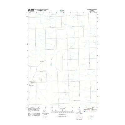
 1963 New Greenleaf1964 Print · USGSAgricultural life in Michigan's Thumb is captured here during the early sixties, as drainage and rail networks sustained the rural economy. Genealogists can locate family landmarks like McTaggart Cemetery, the Stoner School, and St Columbkille Church.
 - 1963 Map of Gagetown, 1964 Print
 1963 Gagetown1964 Print · USGSThe borderlands of Tuscola and Huron counties are captured here in the early sixties, showing a landscape of productive farmland and small rail towns. Genealogists can trace family names through landmarks like Grant Cem, Canboro Sch, and the Grand Trunk Western RR station in Gagetown.
 - 1970 Map of Bad Axe West, 1973 Print
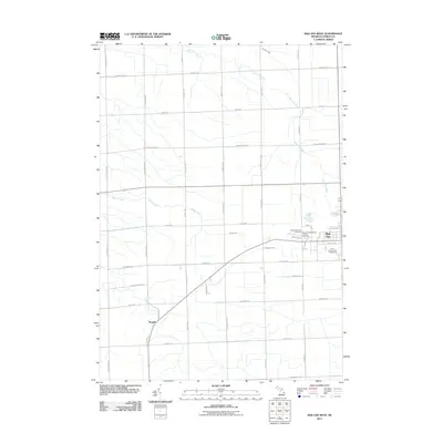
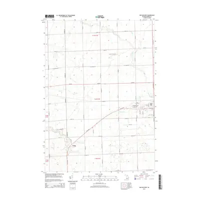
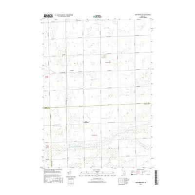
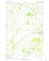 1970 Bad Axe West1973 Print · USGSHuron County's agricultural heartland is documented here during the early 1970s as the rail and road network centered on Bad Axe supported the surrounding townships. Genealogists and researchers can trace the locations of McKenzie Sch, the County Fairground, and Grassmere Station.
 - 1970 Map of Elkton, 1973 Print
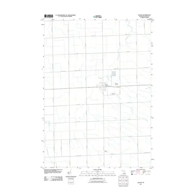
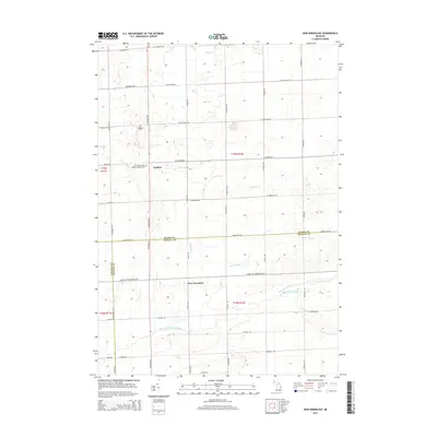
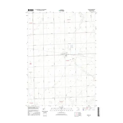
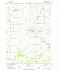 1970 Elkton1973 Print · USGSHuron County's agricultural heartland is documented here during the early seventies, centered on the village of Elkton. Genealogists and local historians can locate family landmarks such as Riverside Cem, the Elkton Ch, and the Steinman Landing Field.
 - 1984 Map of Bay City, 1985 Print
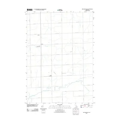
 1984 Bay City1985 Print · USGSSaginaw Bay and the surrounding Michigan thumb region are captured in the mid-1980s, showing a landscape defined by industrial riverfronts and expanding lakeside parks. Researchers can trace family roots through landmarks like Floral Gardens Cem or follow the Chesapeake and Ohio rail lines through towns like Bad Axe and Pigeon.
 - 2011 Map of Bad Axe West, 2011 Print
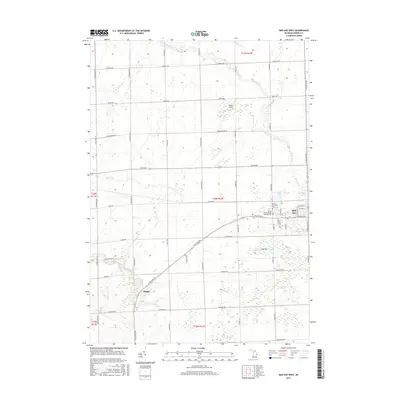
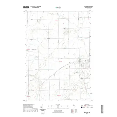
 2011 Bad Axe West2011 Print · USGSCovers Grant Township, including Bad Axe, Oliver Township, and other nearby areas
 - 2011 Map of Gagetown, 2011 Print
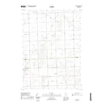
 2011 Gagetown2011 Print · USGSCovers Grant Township, including Gagetown, Elmwood Township, and other nearby areas
 - 2011 Map of Elkton, 2011 Print
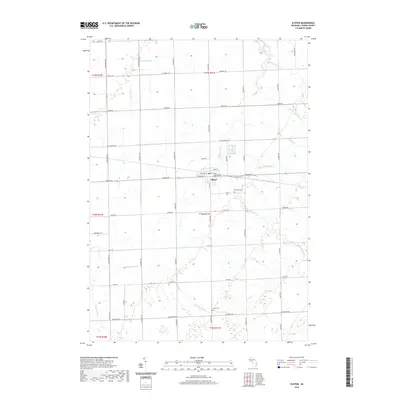
 2011 Elkton2011 Print · USGSCovers Grant Township, including Elkton, Oliver Township, and other nearby areas
 - 2011 Map of New Greenleaf, 2011 Print
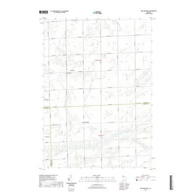
 2011 New Greenleaf2011 Print · USGSCovers Grant Township, including Ivanhoe, Greenleaf Township, and other nearby areas
 - 2014 Map of Bad Axe West, 2014 Print
 2014 Bad Axe West2014 Print · USGSCovers Grant Township, including Bad Axe, Oliver Township, and other nearby areas
 - 2014 Map of New Greenleaf, 2014 Print
 2014 New Greenleaf2014 Print · USGSCovers Grant Township, including Ivanhoe, Greenleaf Township, and other nearby areas
 - 2014 Map of Gagetown, 2014 Print
 2014 Gagetown2014 Print · USGSCovers Grant Township, including Gagetown, Elmwood Township, and other nearby areas
 - 2014 Map of Elkton, 2014 Print
 2014 Elkton2014 Print · USGSCovers Grant Township, including Elkton, Oliver Township, and other nearby areas
 - 2017 Map of New Greenleaf, 2017 Print
 2017 New Greenleaf2017 Print · USGSCovers Grant Township, including Ivanhoe, Greenleaf Township, and other nearby areas
 - 2017 Map of Bad Axe West, 2017 Print
 2017 Bad Axe West2017 Print · USGSCovers Grant Township, including Bad Axe, Oliver Township, and other nearby areas
 - 2017 Map of Elkton, 2017 Print
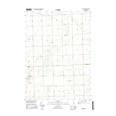
 2017 Elkton2017 Print · USGSCovers Grant Township, including Elkton, Oliver Township, and other nearby areas
 - 2017 Map of Gagetown, 2017 Print
 2017 Gagetown2017 Print · USGSCovers Grant Township, including Gagetown, Elmwood Township, and other nearby areas
 - 2019 Map of Bad Axe West, 2019 Print
 2019 Bad Axe West2019 Print · USGSCovers Grant Township, including Bad Axe, Oliver Township, and other nearby areas
 - 2019 Map of Elkton, 2019 Print
 2019 Elkton2019 Print · USGSCovers Grant Township, including Elkton, Oliver Township, and other nearby areas
 - 2019 Map of Gagetown, 2019 Print
 2019 Gagetown2019 Print · USGSCovers Grant Township, including Gagetown, Elmwood Township, and other nearby areas
 - 2019 Map of New Greenleaf, 2019 Print
 2019 New Greenleaf2019 Print · USGSCovers Grant Township, including Ivanhoe, Greenleaf Township, and other nearby areas
 - 2023 Map of New Greenleaf, 2023 Print
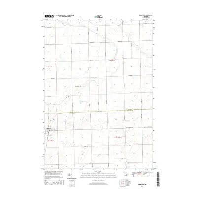
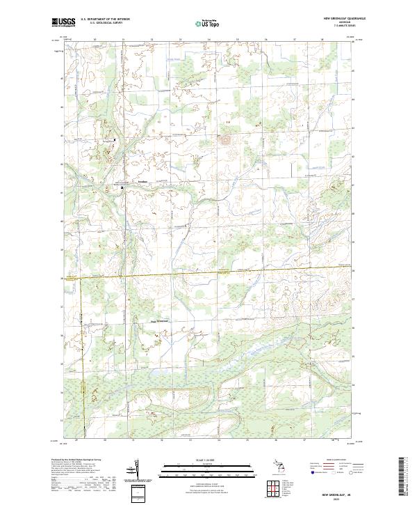 2023 New Greenleaf2023 Print · USGSAgricultural life in the Michigan Thumb is captured here at the triple-county boundary of Huron, Sanilac, and Tuscola. Family historians can trace local landmarks like Saint Columbkille Roman Catholic Cem and settlements at Ivanhoe and New Greenleaf.
 - 2023 Map of Elkton, 2023 Print
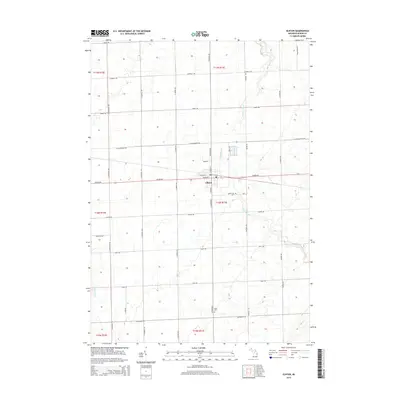
 2023 Elkton2023 Print · USGSElkton and the surrounding Huron County farmland are defined by a complex network of agricultural drains and rivers in this recent survey. Researchers can locate family landmarks along the Pinnebog River and trace local genealogy at Riverside Cem and Grant Cem.
Showing maps 1-25 of 27
Top cities near Grant Township
- Caro historical maps
- Bad Axe historical maps
- Cass City historical maps
- Ellington historical maps
- Pigeon historical maps
- Elmwood historical maps
See more
Frequently asked questions
- What are the different types of historical maps available for Grant Township?
- What is the oldest map of Grant Township?
- Where can I purchase historical maps of Grant Township for my home or office?
- Where can I download high-res historical maps of Grant Township?
- Are there historical topographic maps available for Grant Township?
- Is there historical aerial imagery available for Grant Township?
- Where are historical maps of Grant Township sourced from?