2000s (21st Century) Maps of Winsor Township, Michigan
Explore 10 historic maps of Winsor Township from the 2000s (21st Century). These maps offer a rare glimpse into what life looked like during the 2000s — showing old roads, neighborhoods, homes, and landmarks that have changed or disappeared over time.
Whether you're researching your family's past, planning a metal detecting trip, or studying how Winsor Township's landscape evolved across the 2000s, these high-resolution maps are a powerful tool for exploring the history of this region.
- Focus on a specific era: All maps on this page are from the 2000s, giving you a focused view of this time period.
- See what’s changed: Compare century-old streets, trails, and buildings to today's modern landscape using overlays and satellite layers.
- Research with precision: Use these maps for genealogy, historical research, land use analysis, or educational projects.
- View, download, or print: Maps are fully viewable online in high resolution, and can be downloaded or printed for your own records.
Start exploring Winsor Township's history through authentic maps from the 2000s. This is your window into the past.
Winsor Township, MI maps
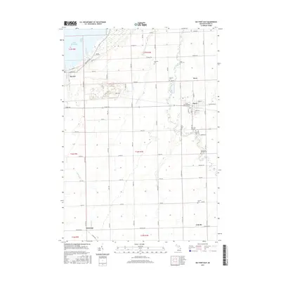
(10)- 2011 Map of Bay Port East, 2011 Print
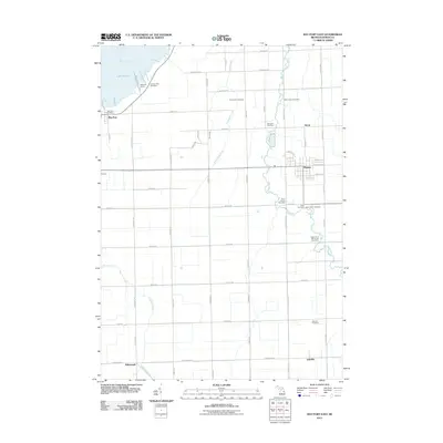 2011 Bay Port East2011 Print · USGSCovers Winsor Township, including Pigeon, Bay Port, and other nearby areas
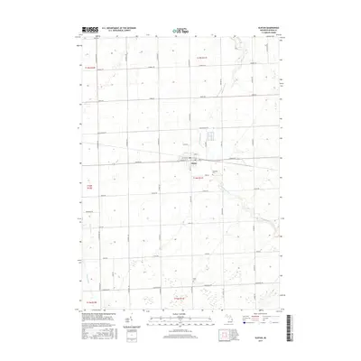
 - 2011 Map of Elkton, 2011 Print
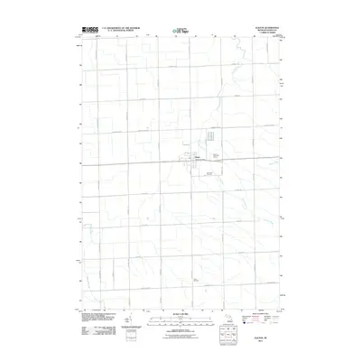 2011 Elkton2011 Print · USGSCovers Winsor Township, including Elkton, Oliver Township, and other nearby areas
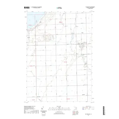
 - 2014 Map of Bay Port East, 2014 Print
 2014 Bay Port East2014 Print · USGSCovers Winsor Township, including Pigeon, Bay Port, and other nearby areas
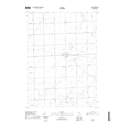
 - 2014 Map of Elkton, 2014 Print
 2014 Elkton2014 Print · USGSCovers Winsor Township, including Elkton, Oliver Township, and other nearby areas
 - 2017 Map of Bay Port East, 2017 Print
 2017 Bay Port East2017 Print · USGSCovers Winsor Township, including Pigeon, Bay Port, and other nearby areas
 - 2017 Map of Elkton, 2017 Print
 2017 Elkton2017 Print · USGSCovers Winsor Township, including Elkton, Oliver Township, and other nearby areas
 - 2019 Map of Elkton, 2019 Print
 2019 Elkton2019 Print · USGSCovers Winsor Township, including Elkton, Oliver Township, and other nearby areas
 - 2019 Map of Bay Port East, 2019 Print
 2019 Bay Port East2019 Print · USGSCovers Winsor Township, including Pigeon, Bay Port, and other nearby areas
 - 2023 Map of Elkton, 2023 Print
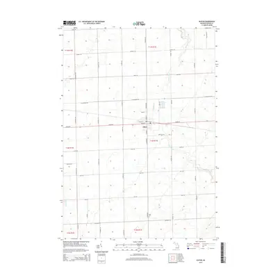
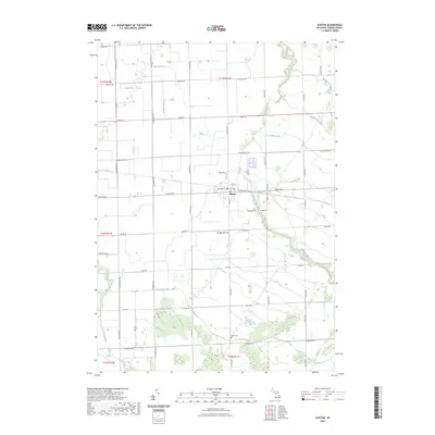 2023 Elkton2023 Print · USGSElkton and the surrounding Huron County farmland are defined by a complex network of agricultural drains and rivers in this recent survey. Researchers can locate family landmarks along the Pinnebog River and trace local genealogy at Riverside Cem and Grant Cem.
 - 2023 Map of Bay Port East, 2023 Print
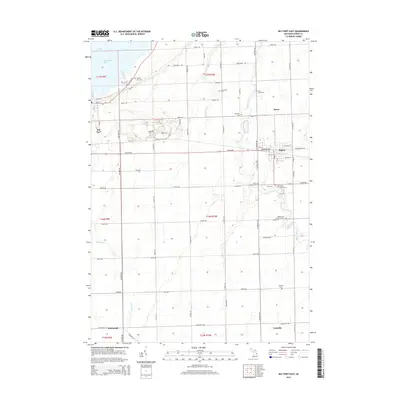
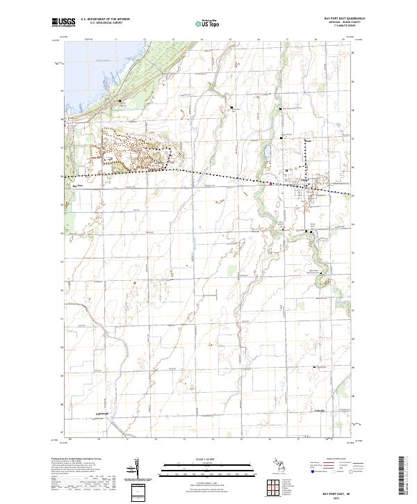 2023 Bay Port East2023 Print · USGSCoastal Huron County meets the agricultural interior in the 2020s, showing a landscape defined by the Pigeon River and Wild Fowl Bay. Genealogists can trace family footprints across several sites like Old Bay Port Cem, Grand Lawn Cem, and Linkville Cem.
End of results
Showing maps 1-10 of 10
Top cities near Winsor Township
- Cass City historical maps
- Sebewaing historical maps
- Pigeon historical maps
- Elmwood historical maps
- Caseville historical maps
- Elkton historical maps
See more
Top neighborhoods of Winsor Township
Frequently asked questions
- What are the different types of historical maps available for Winsor Township?
- What is the oldest map of Winsor Township?
- Where can I purchase historical maps of Winsor Township for my home or office?
- Where can I download high-res historical maps of Winsor Township?
- Are there historical topographic maps available for Winsor Township?
- Is there historical aerial imagery available for Winsor Township?
- Where are historical maps of Winsor Township sourced from?