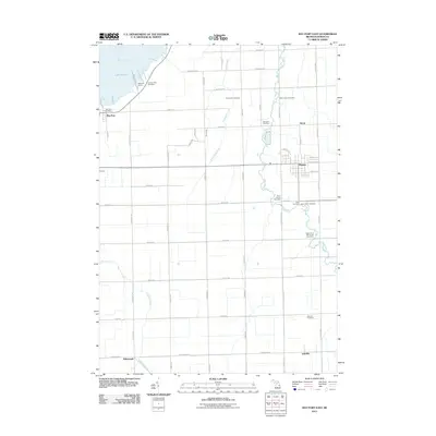
2011 Map of Bay Port East
USGS Topo · Published 2011About this map
The Huron County agricultural landscape south of Wild Fowl Bay is defined by a dense grid of section roads and numerous community burial grounds. This 2011 survey details the area surrounding Pigeon, showing a layout shaped by the Pigeon River and several smaller tributaries like Wasserman Creek and Shebeon Creek. The map provides significant genealogical value, documenting numerous active and historic interment sites such as the Mennonite Cemetery, Saint Johns Cemetery, and Grand Lawn Cemetery.
Find a feature on this map
35 named features on this map. Tap any name to fly to it.
Don’t see what you’re looking for? This feature index may not catch every label — zoom into the map to look around manually.
Map Details
Editions of this 2011 Bay Port East Map
This is the sole edition of this map. No revisions or reprints were ever made.
Other maps of this area

1954 · Flint
USGS Topo · 1:250,000

1958 · Flint
USGS Topo · 1:250,000

1963 · Gagetown
USGS Topo · 1:24,000

1963 · Owendale
USGS Topo · 1:24,000

1963 · Sebewaing
USGS Topo · 1:24,000

1970 · Bay Port West
USGS Topo · 1:24,000

1970 · Bay Port East
USGS Topo · 1:24,000

1970 · Caseville
USGS Topo · 1:24,000
1970 · Rush Lake
USGS Topo · 1:24,000

1970 · Sand Point
USGS Topo · 1:24,000