Old Maps of Allouez Township, Michigan
Explore 42 old maps of Allouez Township, spanning from 1941 to today. These high-resolution historic maps reveal how streets, neighborhoods, landmarks, and natural features evolved over time — perfect for genealogy, metal detecting, research, and local history exploration.
What you can do with these maps:
- See how Allouez Township changed over time: Compare historical maps to modern-day views to trace roads, homesites, rail lines & more.
- View detailed metadata: Each map includes creators, publishers, year, scale, and archive source.
- Overlay maps with satellite & LiDAR: Visualize the past alongside modern tools to explore terrain & human change.
- Trusted historical sources: Maps sourced from the USGS, Library of Congress, and other archives.
- Access maps your way: View online, download high-res files, or order prints for personal or research use.
Start exploring old maps of Allouez Township to uncover forgotten places, hidden landmarks, and the deep history beneath your feet.
Allouez Township, MI maps
(42)- 1941 Map of Ahmeek
 1941 Ahmeek1941 Print · USGSThe Keweenaw copper district thrived in the early 1940s, when mining towns were connected by a dense web of steam rail. Genealogists and historians can trace the foundations of Allouez, Wolverine, and the Ahmeek Mine as they stood before mid-century changes.
 - 1941 Map of Mohawk
 1941 Mohawk1941 Print · USGSThe Keweenaw Peninsula's copper country comes into focus just before World War II, showing a landscape shaped by mining and rail. Researchers can trace the industrial corridor from Mohawk to Hebards via the Keweenaw Central Railroad and find the Gratiot Mine.
 - 1946 Map of Phoenix, 1965 Print
 1946 Phoenix1965 Print · USGSThe Keweenaw Peninsula’s northern shore in the 1940s reveals a mix of maritime infrastructure and copper-era transport. Researchers can trace the path of the Keweenaw Central Railroad or locate the Eagle River Cem and the coastal Sand Hills Lighthouse Coast Guard Sta.4 unique versions available
 - 1946 Map of Mohawk, 1967 Print
 1946 Mohawk1967 Print · USGSThe copper country of the Keweenaw Peninsula is captured here in the mid-1940s as mining and rail operations defined the local economy. Genealogists and industrial historians can trace the footprint of the Gratiot Mine, the Calumet and Hecla RR, and company towns like Mohawk and Fulton.3 unique versions available
 - 1946 Map of Muggun Creek, 1967 Print
 1946 Muggun Creek1967 Print · USGSThe Keweenaw Peninsula's rugged shoreline meets the water in the mid-1940s, highlighting critical municipal infrastructure. Researchers can trace the coastal utility sites at Tamarack Waterworks and Calumet Waterworks along the banks of Muggun Creek.2 unique versions available
 - 1946 Map of Ahmeek, 1971 Print
 1946 Ahmeek1971 Print · USGSThe Keweenaw copper district comes alive in the 1940s, showing the dense network of mining locations and company towns. Trace the industrial operations of the Ahmeek Mine and Red Jacket Mine alongside settlements like Bumbletown and Copper City.3 unique versions available
 - 1947 Map of Phoenix
 1947 Phoenix1947 Print · USGSKeweenaw copper country meets the Lake Superior shore in the mid-1940s, showing the early post-war industrial landscape. Genealogists and historians can trace family ties at Eagle River Cem, locate the Coast Guard Sta, or follow the Old Railroad Grade past Phoenix.
 - 1947 Map of Ahmeek
 1947 Ahmeek1947 Print · USGSKeweenaw's Copper Country is seen here at a post-war peak of industrial settlement and mining activity. Researchers can trace the extensive Calumet and Hecla rail network and locate historic sites like Ahmeek Mine and Centennial Heights.2 unique versions available
 - 1948 Map of Muggun Creek
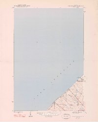 1948 Muggun Creek1948 Print · USGSLake Superior's shoreline in Houghton and Keweenaw Counties is documented here just after the war. Local researchers can trace early infrastructure like the Tamarack Waterworks and Calumet Waterworks or follow the paths of Muggun Creek and Brewery Cr.2 unique versions available
 - 1948 Map of Mohawk
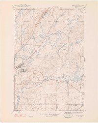 1948 Mohawk1948 Print · USGSCopper mining and rail transport dominate the Keweenaw Peninsula in the late 1940s as industry follows the mineral-rich ridges. Genealogists and historians can trace the street grids of Mohawk and Fulton or locate industrial sites like the Gratiot Mine and the Hecla and Torch Lake RR.2 unique versions available
 - 1958 Map of Hancock, 1967 Print
 1958 Hancock1967 Print · USGSThe Keweenaw Peninsula and Isle Royale are seen here during the mid-twentieth century as mining and maritime hubs. Trace the dense town layouts of Hancock and Calumet, or locate remote coastal markers like the Eagle Harbor Lighthouse and Rock of Ages Light.2 unique versions available
 - 1960 Map of Hancock
 1960 Hancock1960 Print · USGSThe Keweenaw Peninsula and Isle Royale are captured in detail during the late 1950s. Researchers can trace copper-mining era settlements like Calumet and Laurium, or locate remote maritime landmarks such as the Isle Royale Lighthouse.
 - 1961 Map of Hancock
 1961 Hancock1961 Print · USGSThe Keweenaw Peninsula and Isle Royale are shown here at the start of the 1960s, featuring the region's historic copper mining and maritime infrastructure. Genealogists and researchers can trace local families through settlements like Atlantic Mine and Painesdale, or locate remote landmarks including Rock of Ages Light and Eagle Harbor.
 - 1966 Map of Hancock, 1987 Print
 1966 Hancock1987 Print · USGSThe Keweenaw Peninsula and Isle Royale are captured in the mid-1960s during a pivotal era for Michigan’s Copper Country. Trace the industrial footprint of the SOO LINE through Calumet or locate historic maritime landmarks like Fort Wilkins and Rock of Ages Light.
 - 1978 Map of Muggun Creek
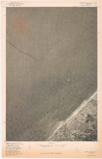 1978 Muggun Creek1978 Print · USGSThe northern shore of Michigan's Upper Peninsula meets the deep waters of Lake Superior in the late 1970s. Trace the coastal mouth of Muggun Creek and examine land lines from a previous 1946 survey.
 - 1978 Map of Mohawk
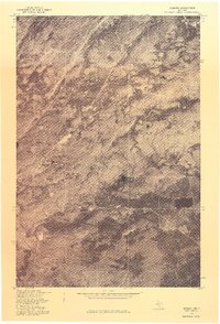 1978 Mohawk1978 Print · USGSUpper Peninsula mining history comes into focus in the late 1970s as aerial photography reveals the layout of these Keweenaw copper country towns. Genealogists and historians can trace the clearings and homes around Mohawk and Fulton in their late twentieth-century context.
 - 1985 Map of Hancock
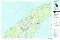 1985 Hancock1985 Print · USGSThe Keweenaw Peninsula in the mid-1980s reveals a landscape shaped by copper and the Great Lakes. You can trace the industrial legacy of the region through the Quincy Mine, the Old RR Grade, and old cemeteries like Forest Hill Cem.3 unique versions available
 - 2011 Map of Phoenix OE W, 2011 Print
 2011 Phoenix OE W2011 Print · USGSLake Superior's northern waters and a sliver of the Keweenaw coastline are documented in this 2011 topographic study. Maritime researchers can trace the position of Hutchinson Shoal and the remote path of 5 Mile Point Rd along the shore.
 - 2011 Map of Phoenix, 2011 Print
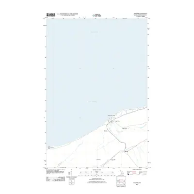 2011 Phoenix2011 Print · USGSThe Keweenaw Peninsula's rugged Lake Superior coast is captured here in the early twenty-first century. Researchers can trace the heritage of small Michigan settlements like Eagle River and Phoenix, or locate the maritime beacon at Sand Hills Lighthouse.
 - 2011 Map of Muggun Creek, 2011 Print
 2011 Muggun Creek2011 Print · USGSCoastal Allouez Township is depicted here during the early twenty-first century, showing the intersection of lakefront infrastructure and wilderness. Researchers can trace historical utility sites like Tamarack Waterworks and the mouth of Muggun Creek.
 - 2011 Map of Ahmeek, 2011 Print
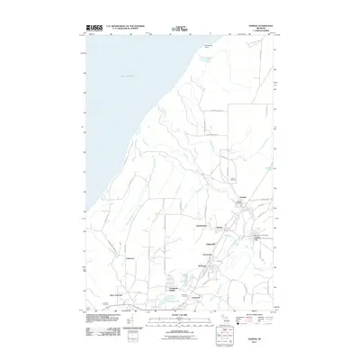 2011 Ahmeek2011 Print · USGSThe Keweenaw Peninsula's mining heritage is on full display here in the early twenty-first century, showing the enduring footprint of historic copper towns. Genealogists can locate family sites near Ahmeek Cemetery or trace the old residential streets of Wolverine and Copper City.
 - 2011 Map of Mohawk, 2011 Print
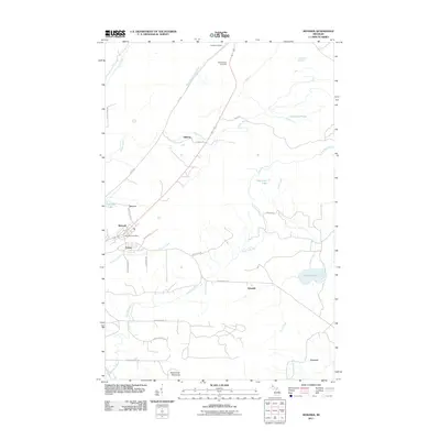 2011 Mohawk2011 Print · USGSThe Keweenaw Peninsula during the early twenty-first century reveals a landscape shaped by its industrial past. Genealogists and historians can trace local settlements and family sites near Mohawk, Fulton, and the Hillside Cemetery.
 - 2014 Map of Muggun Creek, 2014 Print
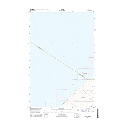 2014 Muggun Creek2014 Print · USGSThe northern tip of the Keweenaw Peninsula meets the expanse of Lake Superior in this contemporary coastal survey. Researchers can trace the rugged shoreline and local drainages like Muggun Creek and Brewery Creek along Lakeshore Drive.
 - 2014 Map of Mohawk, 2014 Print
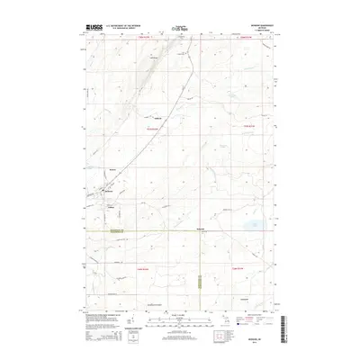 2014 Mohawk2014 Print · USGSUpper Peninsula copper country comes into focus in this detailed survey of the northern Keweenaw Peninsula. Genealogists and historians can trace the residential layouts of Mohawk, Fulton, and Seneca, or locate Hillside Cem near the rugged Cliff Range.
 - 2014 Map of Phoenix OE W, 2014 Print
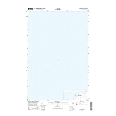 2014 Phoenix OE W2014 Print · USGSThe northern coast of the Keweenaw Peninsula is captured here in the early twenty-first century, dominated by the vast waters of the Great Lakes. Maritime researchers and local historians can trace the shoreline along Five Mile Point Rd or locate the submerged Hutchinson Shoal in Lake Superior.
Showing maps 1-25 of 42
Top cities near Allouez Township
- Houghton historical maps
- Hancock historical maps
- Laurium historical maps
- Osceola historical maps
- Allouez historical maps
- Lake Linden historical maps
See more
Top neighborhoods of Allouez Township
- Five Mile Point West historical maps
- Vittone historical maps
- Kingston historical maps
- Bumbletown historical maps
- Fulton historical maps
- Five Mile Point East historical maps
See more
Frequently asked questions
- What are the different types of historical maps available for Allouez Township?
- What is the oldest map of Allouez Township?
- Where can I purchase historical maps of Allouez Township for my home or office?
- Where can I download high-res historical maps of Allouez Township?
- Are there historical topographic maps available for Allouez Township?
- Is there historical aerial imagery available for Allouez Township?
- Where are historical maps of Allouez Township sourced from?