
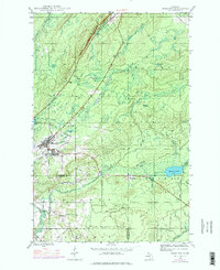
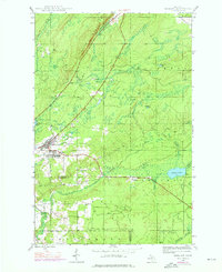
1946 Map of Mohawk
USGS Topo · Published 1967About this map
Mohawk and Fulton serve as the primary hubs in this mid-century survey of the Keweenaw Peninsula's copper country. The industrial identity of the region is etched into the landscape via the Copper Range and the Gratiot Mine, supported by the extensive tracks of the Calumet and Hecla RR. These transportation and mining corridors follow the base of the prominent Cliff Range, which dictates the flow of local waterways like the Gratiot River and West Branch Eagle River.
Find a feature on this map
26 named features on this map. Tap any name to fly to it.
Don’t see what you’re looking for? This feature index may not catch every label — zoom into the map to look around manually.
Map Details
Editions of this 1946 Mohawk Map
3 editions found
Other maps of this area

1938 · Bruneau Creek
USGS Topo · 1:31,680

1938 · Gay
USGS Topo · 1:31,680

1940 · Central
USGS Topo · 1:31,680

1941 · Ahmeek
USGS Topo · 1:31,680

1941 · Mohawk
USGS Topo · 1:31,680

1946 · Phoenix
USGS Topo · 1:24,000

1946 · Bruneau Creek
USGS Topo · 1:24,000

1946 · Eagle Harbor
USGS Topo · 1:24,000

1946 · Ahmeek
USGS Topo · 1:24,000

1946 · Laurium
USGS Topo · 1:24,000