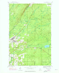
1946 Map of Mohawk
USGS Topo · Published 1976About this map
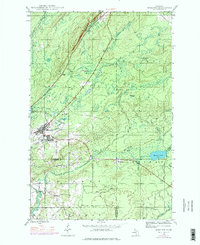
Mohawk and Fulton serve as the primary hubs of this Keweenaw Peninsula landscape, reflecting a community built around the copper mining industry. The influence of mineral extraction is evident at the Gratiot Mine and the nearby settlements of Seneca and Ojibway, which were founded to house workers. Dramatic topographic features like the Cliff Range dominate the northern portion of the map, while an extensive Old Railroad Grade cuts a diagonal path across the terrain, marking the former transportation network that once moved ore and timber. Water resources are plentiful throughout the quadrangle, from the Gratiot River in the north to Thayer Lake and the Traverse River in the south. This 1946 survey, later updated with photorevisions, provides a clear view of the transition from industrial activity to the dense forests of the Upper Peninsula.
Find a feature on this map
29 named features on this map. Tap any name to fly to it.
Don’t see what you’re looking for? This feature index may not catch every label — zoom into the map to look around manually.
Map Details
Editions of this 1946 Mohawk Map
3 editions found
Other maps of this area

1938 · Bruneau Creek
USGS Topo · 1:31,680

1938 · Gay
USGS Topo · 1:31,680

1940 · Central
USGS Topo · 1:31,680

1941 · Ahmeek
USGS Topo · 1:31,680

1941 · Mohawk
USGS Topo · 1:31,680

1946 · Phoenix
USGS Topo · 1:24,000

1946 · Bruneau Creek
USGS Topo · 1:24,000

1946 · Mohawk
USGS Topo · 1:24,000

1946 · Eagle Harbor
USGS Topo · 1:24,000

1946 · Ahmeek
USGS Topo · 1:24,000