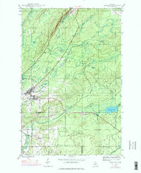
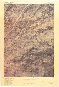
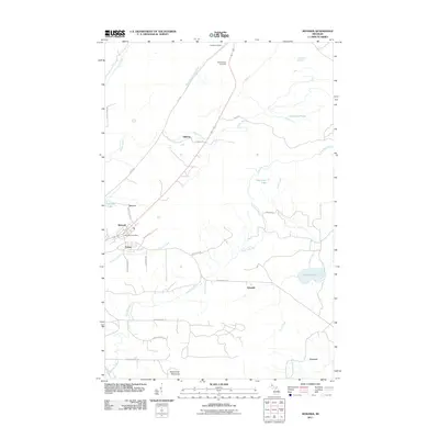
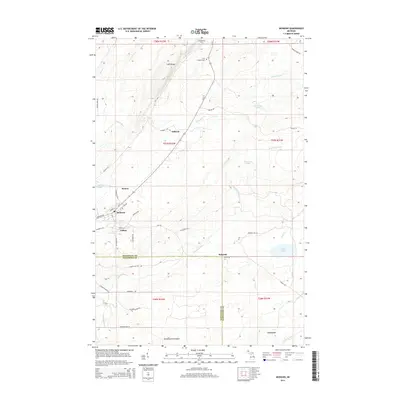
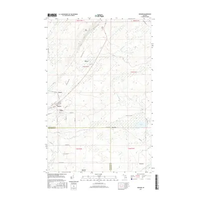
1946 Map of Mohawk
USGS Topo · Published 1976About this map
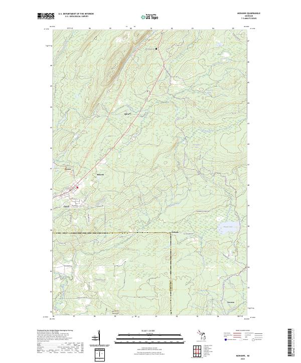
Mohawk and the adjacent settlement of Fulton stand at the heart of this Keweenaw Peninsula survey, revealing the legacy of copper mining in Northern Michigan. Originally mapped in 1946 with revisions through 1975, the map documents a landscape defined by industrial extraction and the natural barrier of the Cliff Range. The presence of the Gratiot Mine and named locations like Seneca and Ojibway point to the area's history as a mining hub, while the Old Railroad Grade indicates the former transportation networks that once connected these remote camps.
Find a feature on this map
20 named features on this map. Tap any name to fly to it.
Don’t see what you’re looking for? This feature index may not catch every label — zoom into the map to look around manually.
Map Details
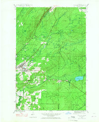
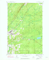
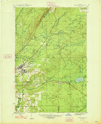
Editions of this 1946 Mohawk Map
3 editions found
Historical Maps of Houghton Township Through Time
9 maps found

Featured Locations
- Schoolcraft Township, MI
- Calumet Township, MI
- Houghton Township, MI
- Allouez Township, MI
- Seneca, Allouez Township