2010s Maps of Grant Township, Michigan
Explore 28 historic maps of Grant Township from the 2010s. These maps offer a rare glimpse into what life looked like during the 2010s — showing old roads, neighborhoods, homes, and landmarks that have changed or disappeared over time.
Whether you're researching your family's past, planning a metal detecting trip, or studying how Grant Township's landscape evolved across the 2010s, these high-resolution maps are a powerful tool for exploring the history of this region.
- Focus on a specific era: All maps on this page are from the 2010s, giving you a focused view of this time period.
- See what’s changed: Compare century-old streets, trails, and buildings to today's modern landscape using overlays and satellite layers.
- Research with precision: Use these maps for genealogy, historical research, land use analysis, or educational projects.
- View, download, or print: Maps are fully viewable online in high resolution, and can be downloaded or printed for your own records.
Start exploring Grant Township's history through authentic maps from the 2010s. This is your window into the past.
Grant Township, MI maps
(28)- 2011 Map of Lake Medora, 2011 Print
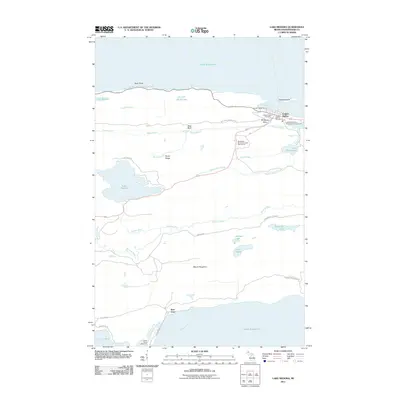 2011 Lake Medora2011 Print · USGSThe northern tip of Michigan's Keweenaw Peninsula is documented here in the early twenty-first century, showing the established waterfront of Copper Harbor. Researchers can trace the layout of the town's Cemetery and Post Office, or locate landmarks like the North Piech Lighthouse and Manganese Falls.
- 2011 Map of Manitou Island, 2011 Print
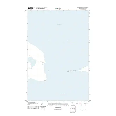 2011 Manitou Island2011 Print · USGSThe tip of the Keweenaw Peninsula and Manitou Island appear in this modern survey of the Lake Superior coast. Researchers can trace the remote shoreline from Keweenaw Point to the lonely Gull Rock Light.
- 2011 Map of Fort Wilkins, 2011 Print
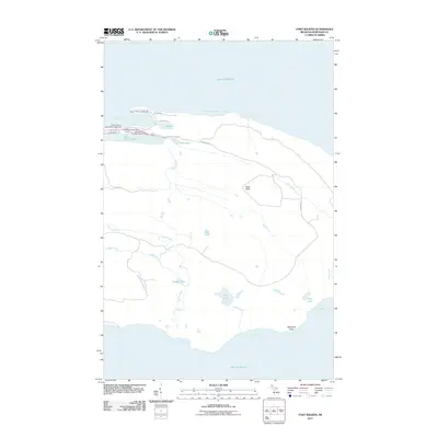 2011 Fort Wilkins2011 Print · USGSThe tip of the Keweenaw Peninsula is captured here in the early twenty-first century, centered on the military and maritime heritage of the Lake Superior coast. Researchers can trace the grounds of Fort Wilkins and its Cemetery or locate the Lighthouse at the harbor entrance.
- 2011 Map of Point Isabelle, 2011 Print
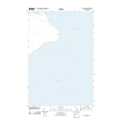 2011 Point Isabelle2011 Print · USGSThe Keweenaw Peninsula shoreline comes into focus in this modern survey of the Lake Superior coast. Maritime researchers can trace the relationship between the Mendota Light House, the waters of Bete Grise Bay, and the landmark at Point Isabelle.
- 2011 Map of Manitou Island OE E, 2011 Print
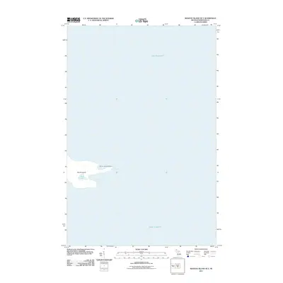 2011 Manitou Island OE E2011 Print · USGSManitou Island stands at the edge of the Keweenaw Peninsula during the early twenty-first century, surrounded by the waters of Lake Superior. Researchers can study the island's isolated geography and navigational history through landmarks like the Manitou Island Lighthouse and Fishermans Bay.
- 2011 Map of Deer Lake, 2011 Print
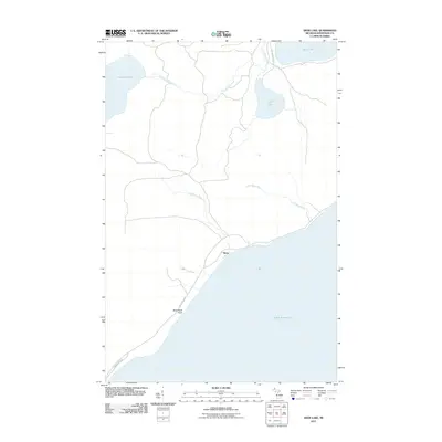 2011 Deer Lake2011 Print · USGSKeweenaw County's shoreline and inland waters are recorded here during the early twenty-first century. Researchers can trace the coastal layout near Betsy and Black Rock Point or follow the paths of the Little Gratiot River and Winters Creek.
- 2011 Map of Delaware, 2011 Print
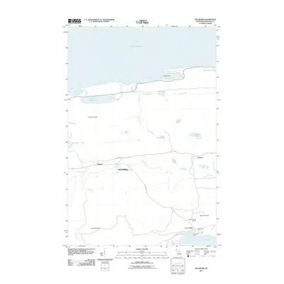 2011 Delaware2011 Print · USGSKeweenaw County's northern wilds are documented here in the early twenty-first century, showing the lakefront from Agate Harbor down to the shores of Lac La Belle. Researchers can trace the layout of Delaware and Mandan or locate landmarks like Silver River Falls and the Mount Bohemia Ski Area.
- 2014 Map of Deer Lake, 2014 Print
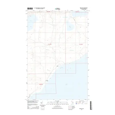 2014 Deer Lake2014 Print · USGSThe Keweenaw Peninsula shoreline comes into focus in this contemporary survey of Grant Township. Researchers can trace the rugged coastal geography from Black Rock Point to the settlement of Betsy and the interior waters of Lake Gratiot and Deer Lake.
- 2014 Map of Lake Medora, 2014 Print
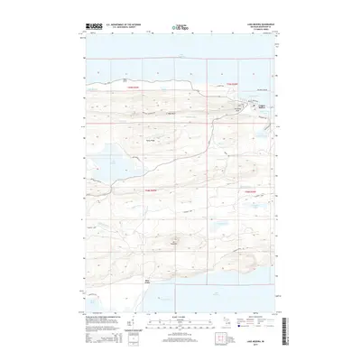 2014 Lake Medora2014 Print · USGSKeweenaw County's northern tip is documented here in the early twenty-first century, spanning from the harbor settlements to the interior ridges. Researchers can trace the layout of Copper Harbor and the Copper Harbor Cem or explore the network of forest routes like Washington Mine Rd.
- 2014 Map of Manitou Island, 2014 Print
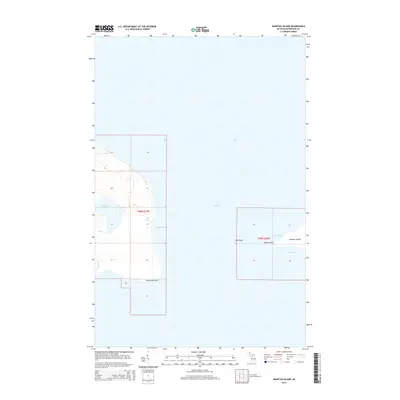 2014 Manitou Island2014 Print · USGSThe eastern tip of Michigan’s Keweenaw Peninsula meets the expanse of Lake Superior in this modern survey of the state’s most remote maritime frontier. Trace the rocky shoreline from Keweenaw Point out to Manitou Island and identify landmarks like Gull Rock and Schlatter Lake.
- 2014 Map of Point Isabelle, 2014 Print
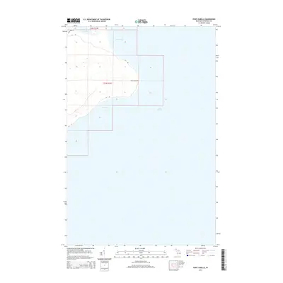 2014 Point Isabelle2014 Print · USGSThe Keweenaw Peninsula shoreline comes into focus in this mid-2010s survey of the rugged Lake Superior coast. Researchers can trace the winding paths of Gay Rd and Montgomery Rd as they lead toward Point Isabelle and the mouth of Lac La Belle.
- 2014 Map of Fort Wilkins, 2014 Print
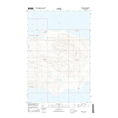 2014 Fort Wilkins2014 Print · USGSKeweenaw County's rugged northern tip is documented here in the early twenty-first century, centered on the historic 1840s outpost at Old Fort Wilkins. Researchers can trace the shoreline from Horseshoe Harbor to Keystone Point and locate the Ft. Wilkins State Park Cem.
- 2014 Map of Manitou Island OE E, 2014 Print
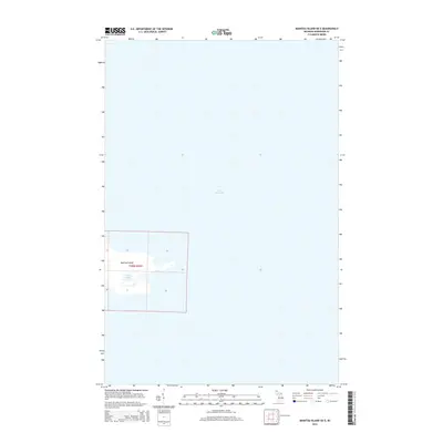 2014 Manitou Island OE E2014 Print · USGSOff the tip of the Keweenaw Peninsula in the early twenty-first century, this survey focuses on the isolated geography of Manitou Island. Researchers can trace the shoreline and interior features of this remote outpost, including Perch Lake and the surrounding waters of Lake Superior.
- 2014 Map of Delaware, 2014 Print
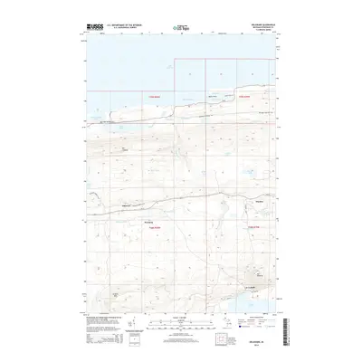 2014 Delaware2014 Print · USGSUpper Peninsula copper country history is preserved here in the early twenty-first century, showing the remote settlements of Delaware and Wyoming. Researchers can trace the roads to Mandan, find the location of Silver River Falls, and locate peaks like Mt Lookout.
- 2017 Map of Point Isabelle, 2017 Print
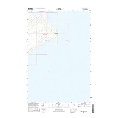 2017 Point Isabelle2017 Print · USGSThe Keweenaw Peninsula shoreline comes into focus in this modern topographical study of Grant Township. Researchers can trace the rugged coastal geography from the prominent Point Isabelle to the quiet waters of Lac La Belle and Bete Grise Bay.
- 2017 Map of Fort Wilkins, 2017 Print
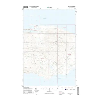 2017 Fort Wilkins2017 Print · USGSThe tip of the Keweenaw Peninsula comes into focus in this recent survey of the Michigan copper country. Researchers can trace the layout of Copper Harbor, the historic Fort Wilkins State Park Cem, and the trails leading to E Bluff or Copper Lake.
- 2017 Map of Lake Medora, 2017 Print
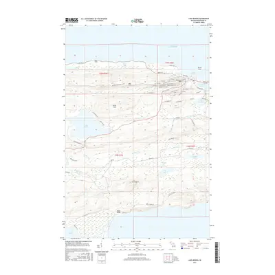 2017 Lake Medora2017 Print · USGSThe tip of the Keweenaw Peninsula comes into focus in this modern survey of the Lake Superior coastline and the historic village of Copper Harbor. Researchers can trace old mining routes like Aetna Mine Rd, visit the Copper Harbor Cem, or explore the shores of Lake Medora and Bete Grise.
- 2017 Map of Deer Lake, 2017 Print
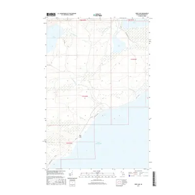 2017 Deer Lake2017 Print · USGSThe Keweenaw Peninsula’s wilderness and Lake Superior coastline are documented here in recent years. Researchers can trace remote coastal access via Gay Rd and locate landmarks like Black Rock Point or the secluded Deer Lake.
- 2017 Map of Manitou Island, 2017 Print
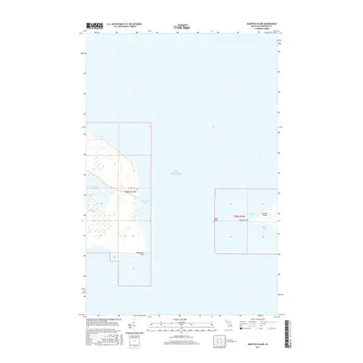 2017 Manitou Island2017 Print · USGSKeweenaw Point and the surrounding waters of Lake Superior are surveyed here during the late twenty-teens. Researchers can trace the rugged shoreline from Schlatter Lake to the offshore isolation of Manitou Island and Gull Rock.
- 2017 Map of Delaware, 2017 Print
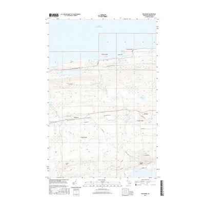 2017 Delaware2017 Print · USGSThe Keweenaw Peninsula interior comes into focus during the early twenty-first century, showing the rugged corridor between the lake shore and high ridges. Researchers can trace the layout of Delaware and Mandan or locate landmarks like Mt Bohemia and Silver River Falls.
- 2017 Map of Manitou Island OE E, 2017 Print
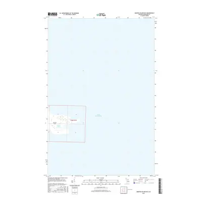 2017 Manitou Island OE E2017 Print · USGSManitou Island remains a solitary landmark at the edge of the Keweenaw Peninsula in this recent survey. Researchers can trace the interior shoreline of Perch Lake and examine the township boundaries of T58N R26W as they extend into Lake Superior.
- 2019 Map of Fort Wilkins, 2019 Print
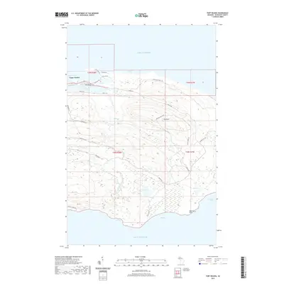 2019 Fort Wilkins2019 Print · USGSThe tip of the Keweenaw Peninsula is documented here in the early twenty-first century, showing the intersection of copper-mining history and the Lake Superior coast. Researchers can trace historic routes like Clark Mine Rd and locate the Fort Wilkins State Park Cem near the shores of Lake Fanny Hooe.
- 2019 Map of Point Isabelle, 2019 Print
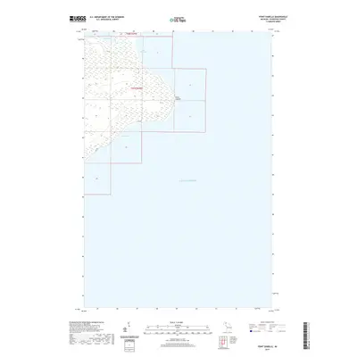 2019 Point Isabelle2019 Print · USGSThe Keweenaw Peninsula shoreline comes into focus in this recent survey of the Michigan coast. Researchers can trace the winding path of Gay Rd between the wetlands and the lake, or explore the coastal features of Point Isabelle and Bete Grise Bay.
- 2019 Map of Manitou Island, 2019 Print
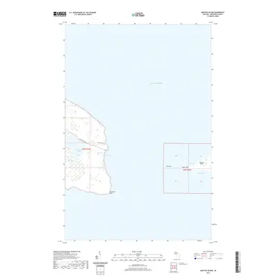 2019 Manitou Island2019 Print · USGSThe far tip of Michigan's Keweenaw Peninsula is captured here in the late 2010s. Maritime researchers and hikers can trace the shoreline from Keweenaw Point out to Manitou Island, or locate interior features like Schlatter Lake and High Rock Bay.
- 2019 Map of Lake Medora, 2019 Print
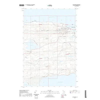 2019 Lake Medora2019 Print · USGSThe tip of the Keweenaw Peninsula is captured here in the late 2010s, showcasing the area between the village of Copper Harbor and the shores of Bete Grise. Researchers can trace the legacy of copper mining through routes like Washington Mine RD and Aetna Mine RD or locate family roots at the Copper Harbor Cem.
Showing maps 1-25 of 28
Top neighborhoods of Grant Township
- Bete Grise historical maps
- Betsy historical maps
- Delaware historical maps
- Little Betsy historical maps
- Mandan historical maps
- South Point historical maps
See more
Frequently asked questions
- What are the different types of historical maps available for Grant Township?
- What is the oldest map of Grant Township?
- Where can I purchase historical maps of Grant Township for my home or office?
- Where can I download high-res historical maps of Grant Township?
- Are there historical topographic maps available for Grant Township?
- Is there historical aerial imagery available for Grant Township?
- Where are historical maps of Grant Township sourced from?