Old Maps of Sherman Township, Michigan for Hiking & Exploration
Hike through history with 50 historic maps of Sherman Township. Explore old trails, ghost towns, and forgotten backroads — perfect for outdoor adventurers and local explorers.
- Rediscover forgotten places: Map out old mining camps, roads, and footpaths that no longer exist on modern maps.
- Layer with modern tools: Combine with LiDAR or satellite views to plan hikes through historical terrain.
- Made for exploration: Popular among hikers, overlanders, and local history lovers.
Use these maps to find adventure and explore the hidden past of Sherman Township.
Sherman Township, MI maps
(50)- 1938 Map of Bruneau Creek
 1938 Bruneau Creek1938 Print · USGSThe northern Keweenaw Peninsula in the late 1930s is revealed here as a landscape of dense waterways and early settlements. Researchers can locate Preasville and trace the paths of the Bruneau River, Tobacco River, and the heights of Mt Horace Greeley.
 - 1938 Map of Gay
 1938 Gay1938 Print · USGSThe eastern Keweenaw shoreline comes to life in the late 1930s as a landscape of timber and copper transit. Genealogists can locate the footprint of Gay and Traverse Bay while tracing the winding paths of the Tobacco River and Copper Range Highway No 562.
 - 1939 Map of Deer Lake
 1939 Deer Lake1939 Print · USGSThe Keweenaw Peninsula shore in the late thirties shows a landscape of remote schools and winding river systems. Trace early landmarks like the Betsy River Sch, the waters of Lac La Belle, and the rocky shoreline at Black Rock Pt.
 - 1940 Map of Deer Lake
 1940 Deer Lake1940 Print · USGSThe Keweenaw Peninsula shoreline comes alive in the late 1930s as aerial photography reveals the remote coastal reaches of Lake Superior. Researchers can trace the drainage of the Big Betsy River or locate the site of the Betsy River Sch and Black Rock Pt.
 - 1941 Map of Mohawk
 1941 Mohawk1941 Print · USGSThe Keweenaw Peninsula's copper country comes into focus just before World War II, showing a landscape shaped by mining and rail. Researchers can trace the industrial corridor from Mohawk to Hebards via the Keweenaw Central Railroad and find the Gratiot Mine.
 - 1946 Map of Bruneau Creek, 1967 Print
 1946 Bruneau Creek1967 Print · USGSThe Keweenaw Peninsula interior comes into focus during the mid-forties, showing the wild drainage basins between Houghton and Sherman. Trace the intricate water networks of Lake Gratiot, the slopes of Mt Horace Greeley, and the headwaters of the Tobacco River.3 unique versions available
 - 1946 Map of Mohawk, 1967 Print
 1946 Mohawk1967 Print · USGSThe copper country of the Keweenaw Peninsula is captured here in the mid-1940s as mining and rail operations defined the local economy. Genealogists and industrial historians can trace the footprint of the Gratiot Mine, the Calumet and Hecla RR, and company towns like Mohawk and Fulton.3 unique versions available
 - 1948 Map of Mohawk
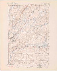 1948 Mohawk1948 Print · USGSCopper mining and rail transport dominate the Keweenaw Peninsula in the late 1940s as industry follows the mineral-rich ridges. Genealogists and historians can trace the street grids of Mohawk and Fulton or locate industrial sites like the Gratiot Mine and the Hecla and Torch Lake RR.2 unique versions available
 - 1948 Map of Bruneau Creek
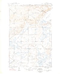 1948 Bruneau Creek1948 Print · USGSKeweenaw's rugged northern interior and Lake Superior shoreline are captured here in the late 1940s. Researchers can trace the winding paths of Bruneau Creek and the Tobacco River or locate the summit of Mt Horace Greeley.2 unique versions available
 - 1948 Map of Deer Lake, 1965 Print
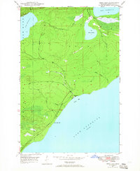 1948 Deer Lake1965 Print · USGSKeweenaw's rugged shoreline and interior waterways are captured here in the late 1940s as a new coastal road was first being carved. Researchers can trace the early path of the road UNDER CONSTRUCTION near Black Rock Point or locate the site of the Betsy River School.3 unique versions available
 - 1949 Map of Deer Lake
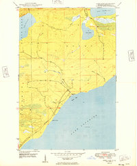 1949 Deer Lake1949 Print · USGSKeweenaw Peninsula wilderness meets the coast of Lake Superior in the late 1940s. Genealogists and researchers can locate the Betsy River Sch and trace the early development of roads under construction near Black Rock Point.
 - 1954 Map of Gay, 1955 Print
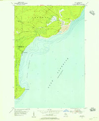 1954 Gay1955 Print · USGSCoastal Keweenaw County comes to life in the mid-fifties, showing the industrial interface between the copper mines and the Great Lakes. Trace the massive Tailings deposits at Gay and the transport path of the Copper Range along the shore.3 unique versions available
 - 1954 Map of Rice Lake, 1955 Print
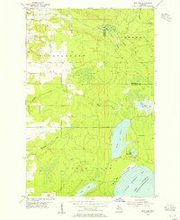 1954 Rice Lake1955 Print · USGSThe Keweenaw Peninsula’s watery interior comes into focus in the mid-fifties, showing the rugged lake-and-creek systems of the northern Copper Country. You can trace the shoreline of Little Traverse Bay or locate the site of Minnetonka Camp near Rice Lake.4 unique versions available
 - 1958 Map of Hancock, 1967 Print
 1958 Hancock1967 Print · USGSThe Keweenaw Peninsula and Isle Royale are seen here during the mid-twentieth century as mining and maritime hubs. Trace the dense town layouts of Hancock and Calumet, or locate remote coastal markers like the Eagle Harbor Lighthouse and Rock of Ages Light.2 unique versions available
 - 1960 Map of Hancock
 1960 Hancock1960 Print · USGSThe Keweenaw Peninsula and Isle Royale are captured in detail during the late 1950s. Researchers can trace copper-mining era settlements like Calumet and Laurium, or locate remote maritime landmarks such as the Isle Royale Lighthouse.
 - 1961 Map of Hancock
 1961 Hancock1961 Print · USGSThe Keweenaw Peninsula and Isle Royale are shown here at the start of the 1960s, featuring the region's historic copper mining and maritime infrastructure. Genealogists and researchers can trace local families through settlements like Atlantic Mine and Painesdale, or locate remote landmarks including Rock of Ages Light and Eagle Harbor.
 - 1966 Map of Hancock, 1987 Print
 1966 Hancock1987 Print · USGSThe Keweenaw Peninsula and Isle Royale are captured in the mid-1960s during a pivotal era for Michigan’s Copper Country. Trace the industrial footprint of the SOO LINE through Calumet or locate historic maritime landmarks like Fort Wilkins and Rock of Ages Light.
 - 1978 Map of Mohawk
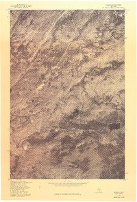 1978 Mohawk1978 Print · USGSUpper Peninsula mining history comes into focus in the late 1970s as aerial photography reveals the layout of these Keweenaw copper country towns. Genealogists and historians can trace the clearings and homes around Mohawk and Fulton in their late twentieth-century context.
 - 1978 Map of Rice Lake
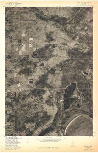 1978 Rice Lake1978 Print · USGSThe Keweenaw Peninsula shoreline meets the deep woods of Houghton County in the late seventies. Researchers can study the unmapped timber and wetland patterns around Rice Lake and the Lake Superior coast.
 - 1985 Map of Hancock
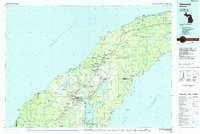 1985 Hancock1985 Print · USGSThe Keweenaw Peninsula in the mid-1980s reveals a landscape shaped by copper and the Great Lakes. You can trace the industrial legacy of the region through the Quincy Mine, the Old RR Grade, and old cemeteries like Forest Hill Cem.3 unique versions available
 - 2011 Map of Bruneau Creek, 2011 Print
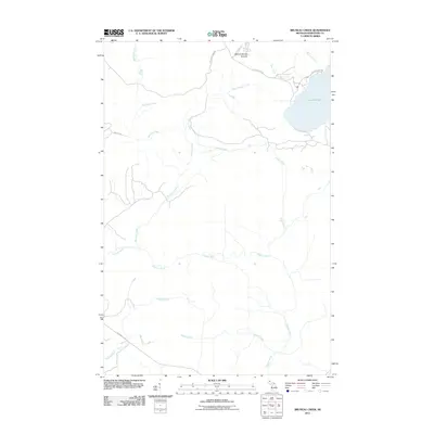 2011 Bruneau Creek2011 Print · USGSUpper Peninsula wilderness in the early twenty-first century reveals a complex drainage system near the shores of Lake Superior. Local historians can trace the paths of Little Gratiot River and Tobacco River below the heights of Mount Horace Greeley.
 - 2011 Map of Deer Lake, 2011 Print
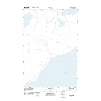 2011 Deer Lake2011 Print · USGSKeweenaw County's shoreline and inland waters are recorded here during the early twenty-first century. Researchers can trace the coastal layout near Betsy and Black Rock Point or follow the paths of the Little Gratiot River and Winters Creek.
 - 2011 Map of Mohawk, 2011 Print
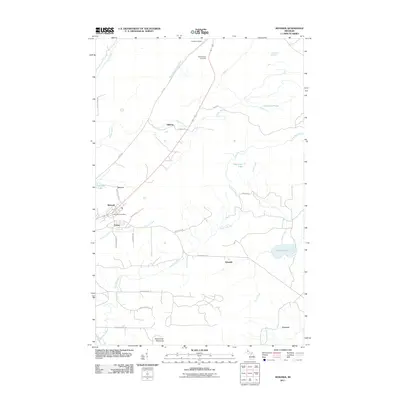 2011 Mohawk2011 Print · USGSThe Keweenaw Peninsula during the early twenty-first century reveals a landscape shaped by its industrial past. Genealogists and historians can trace local settlements and family sites near Mohawk, Fulton, and the Hillside Cemetery.
 - 2011 Map of Gay OE E, 2011 Print
 2011 Gay OE E2011 Print · USGSThe open waters of Michigan's Keweenaw Peninsula are the focus of this early twenty-first-century coastal survey. Researchers and maritime enthusiasts can trace the expansive shoreline of Lake Superior as it borders Sherman Township in this high-resolution maritime study.
 - 2011 Map of Rice Lake, 2011 Print
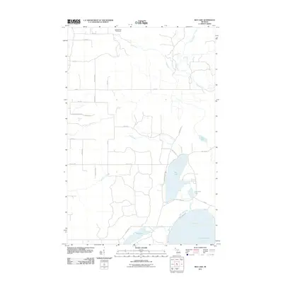 2011 Rice Lake2011 Print · USGSThe Keweenaw Peninsula shoreline meets the waters of Lake Superior in this 2011 survey of Houghton County. Researchers can trace the drainage of Traverse River and locate coastal landmarks like Rice Lake, Mud Lake, and Little Traverse Bay.
Showing maps 1-25 of 50
Top cities near Sherman Township
- Laurium historical maps
- Allouez historical maps
- Lake Linden historical maps
- Eagle Harbor historical maps
- Copper City historical maps
- Ahmeek historical maps
Top neighborhoods of Sherman Township
Frequently asked questions
- What are the different types of historical maps available for Sherman Township?
- What is the oldest map of Sherman Township?
- Where can I purchase historical maps of Sherman Township for my home or office?
- Where can I download high-res historical maps of Sherman Township?
- Are there historical topographic maps available for Sherman Township?
- Is there historical aerial imagery available for Sherman Township?
- Where are historical maps of Sherman Township sourced from?