Old Maps of Goodland Township, Michigan for Hiking & Exploration
Hike through history with 29 historic maps of Goodland Township. Explore old trails, ghost towns, and forgotten backroads — perfect for outdoor adventurers and local explorers.
- Rediscover forgotten places: Map out old mining camps, roads, and footpaths that no longer exist on modern maps.
- Layer with modern tools: Combine with LiDAR or satellite views to plan hikes through historical terrain.
- Made for exploration: Popular among hikers, overlanders, and local history lovers.
Use these maps to find adventure and explore the hidden past of Goodland Township.
Goodland Township, MI maps
(29)- 1954 Map of Flint, 1968 Print
 1954 Flint1968 Print · USGSThe industrial corridor and fertile Thumb region of Michigan come alive in this mid-century survey. Genealogists and historians can trace the rail networks of the Grand Trunk, locate established settlements like Bad Axe and Sandusky, or explore the 1950s shoreline along Saginaw Bay.4 unique versions available
 - 1958 Map of Flint
 1958 Flint1958 Print · USGSThe Michigan Thumb and the Saginaw Valley are captured here during the height of the post-war industrial era. Researchers can trace the complex rail networks of the Grand Trunk Western or locate mid-century landmarks like Lakeport State Park and the port at Bay City.2 unique versions available
 - 1961 Map of Brown City, 1963 Print
 1961 Brown City1963 Print · USGSThe rural borderlands of Sanilac, Lapeer, and St. Clair counties come alive in this early 1960s survey of the Michigan thumb's farming heartland. Trace the paths of the Chesapeake and Ohio railroad through Brown City or find ancestral sites like Valley Center Cem and Odelville Sch.2 unique versions available
 - 1961 Map of Capac, 1963 Print
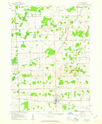 1961 Capac1963 Print · USGSAgricultural life in St. Clair County during the early sixties centers on the village of Capac and its extensive drainage network. Genealogists can trace local landmarks like Pine Hill Cem, the Lynn Corner Sch, and the Grand Trunk rail line.2 unique versions available
 - 1963 Map of Burnside, 1964 Print
 1963 Burnside1964 Print · USGSLapeer County's rural townships are documented in the early sixties, showing the agricultural network of Burnside and Goodland. Local historians can trace family-named schools and cemeteries like Abbott Sch, Fox Cem, and the mid-century Drive-in Theater.2 unique versions available
 - 1963 Map of Imlay City, 1964 Print
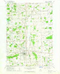 1963 Imlay City1964 Print · USGSImlay City and the surrounding Lapeer County farmlands are captured in the early sixties at a peak of rural development. Genealogists can locate family landmarks like Folsom Sch, Imlay Cem, and the Pentecostal Ch along the historic Grand Trunk Railroad route.2 unique versions available
 - 1984 Map of Croswell, 1985 Print
 1984 Croswell1985 Print · USGSThe Michigan Thumb region and the Lake Huron shoreline appear here in the mid-1980s, showcasing a landscape of drainage-fed farmland and coastal retreats. Researchers can trace the Chesapeake rail route and explore shoreline communities from Lexington Heights to Keewahdin.2 unique versions available
 - 1984 Map of Flint, 1985 Print
 1984 Flint1985 Print · USGSThe industrial corridor between Flint and Saginaw is captured here during the mid-1980s, showcasing a landscape of growing suburbs and preserved wildlands. Researchers can trace the Grand Trunk Western RR or locate local landmarks like St Johns Ch and Flint Memorial Park Cem.
 - 1990 Map of Flint, 1991 Print
 1990 Flint1991 Print · USGSThe Flint and Saginaw corridors are captured here in the early nineties, showing a landscape defined by heavy industry and rural expanses. Genealogists and historians can trace the rail lines of the Penn Central RR, visit Flint Memorial Park Cem, or explore the limits of Zilwaukee.
 - 2011 Map of Capac, 2011 Print
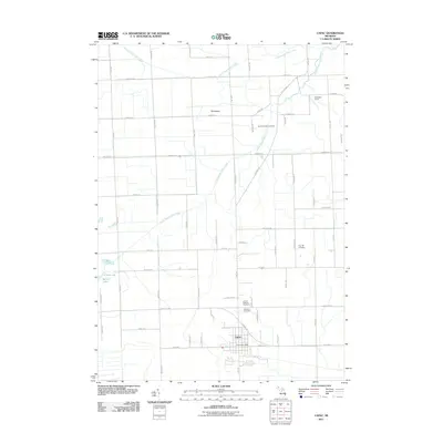 2011 Capac2011 Print · USGSMussey Township and the village of Capac are captured here in the early twenty-first century as the area maintains its agricultural character. Genealogists can locate several burial grounds including Lynn Township Cemetery and Pine Hill Cemetery, or trace the waters of South Branch Mill Creek.
 - 2011 Map of Brown City, 2011 Print
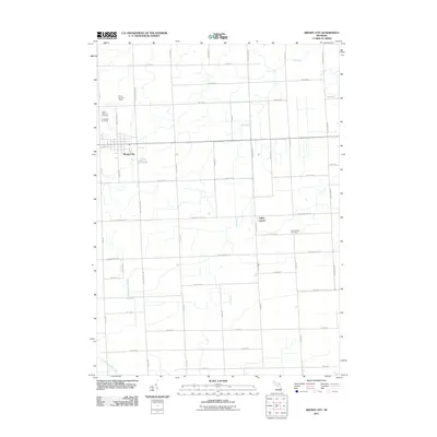 2011 Brown City2011 Print · USGSSanilac County farmland surrounds the community of Brown City in this 2011 survey. Local historians can trace established homesteads near Valley Center and locate family burial sites at Saint Marys Cemetery and Evergreen Cemetery.
 - 2011 Map of Imlay City, 2011 Print
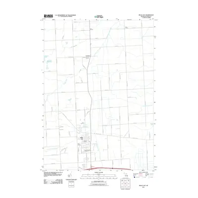 2011 Imlay City2011 Print · USGSImlay City and the rural community of Goodland are captured here during the early twenty-first century as they continue to balance agricultural roots with regional growth. Genealogists can locate several burial sites including Stuart Cemetery and the Indian Cemetery, alongside landmarks like the Eastern Michigan Fairgrounds.
 - 2011 Map of Burnside, 2011 Print
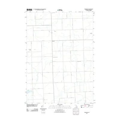 2011 Burnside2011 Print · USGSBurnside and its surrounding township are captured here in the early twenty-first century, showing a landscape defined by rural agriculture and family heritage. Genealogists can locate several historic burial sites, including Fox Cemetery, Evergreen Cemetery, and the Saint Mary's Catholic Cemetery.
 - 2014 Map of Brown City, 2014 Print
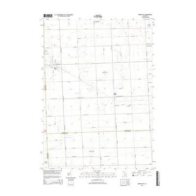 2014 Brown City2014 Print · USGSThis rural Michigan landscape at the intersection of three counties shows the settled agricultural character of the region in the early twenty-first century. Researchers can trace local genealogy and land use through features like Saint Marys Cem, the settlement of Valley Center, and the Lapeer and Sanilac Drain.
 - 2014 Map of Capac, 2014 Print
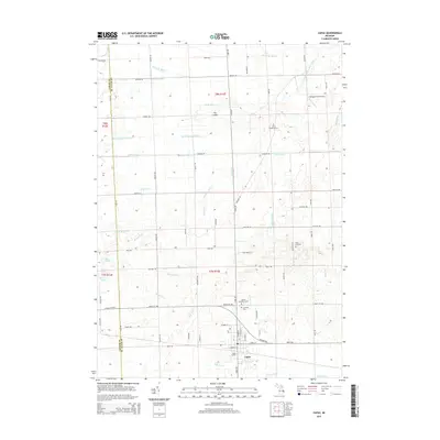 2014 Capac2014 Print · USGSMussey and Lynn Townships are captured in the early 21st century, showing the established grid of agricultural drains and rural road networks. Researchers can locate several historical burial grounds, including Pine Hill Cem and United Brethren Cem, or trace the rail-side growth at Capac Station.
 - 2014 Map of Burnside, 2014 Print
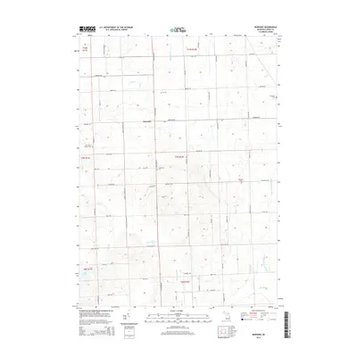 2014 Burnside2014 Print · USGSBurnside and its surrounding Lapeer County townships are shown here as they appeared in the early twenty-first century, a landscape defined by generational farms and rural crossroads. Local historians can trace family roots through numerous sites like Fox Cem, Saint Mary's Catholic Cem, and the old settlement of Burnside.
 - 2014 Map of Imlay City, 2014 Print
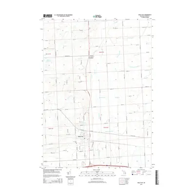 2014 Imlay City2014 Print · USGSLapeer County agriculture and the hub of Imlay City are detailed in this modern survey. Genealogists can locate family sites at Stuart Cem, Goodland Township Cem, or Mt Calvary Cem while tracing the varied paths of Elk Lake Cr and the N Br Belle River.
 - 2017 Map of Imlay City, 2017 Print
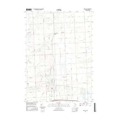 2017 Imlay City2017 Print · USGSImlay City and the village of Attica are captured here in the late 2010s, showing a landscape defined by its agricultural drainage and historic rail corridors. Researchers can locate Imlay Cem, trace the Polly Ann State Trail, and follow the winding Belle River.
 - 2017 Map of Capac, 2017 Print
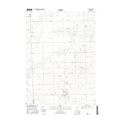 2017 Capac2017 Print · USGSMussey Township and the village of Capac are captured here during the late twenty-teens, showing a landscape defined by traditional agriculture and sophisticated drainage. Researchers can trace local lineages at Lynn Township Cem or follow the paths of South Branch Mill Creek and The Island.
 - 2017 Map of Burnside, 2017 Print
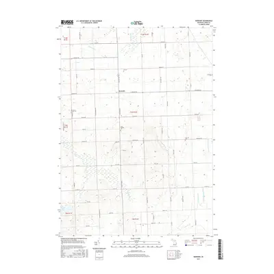 2017 Burnside2017 Print · USGSLapeer County agricultural lands and drainage networks are meticulously documented here in the late twenty-teens. Researchers can locate several family and community burial sites such as South Burnside Cem and the Evergreen Cem near the village of Burnside.
 - 2017 Map of Brown City, 2017 Print
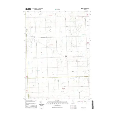 2017 Brown City2017 Print · USGSAgricultural life in the Michigan Thumb is documented here at the intersection of three counties during the mid-2010s. Genealogists and local researchers can locate family sites at Evergreen Cem or Sacred Heart Cem, and trace the path of Elk Cr and Valley Center.
 - 2019 Map of Imlay City, 2019 Print
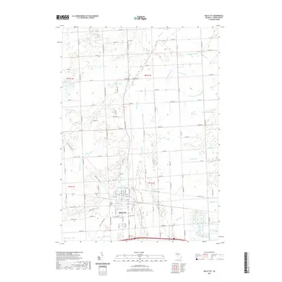 2019 Imlay City2019 Print · USGSImlay City and the surrounding rural townships of Lapeer County are shown in the late 2010s as a landscape shaped by agriculture and intricate drainage. Genealogists and local historians can locate several resting places including Mount Calvary Cem and Goodland Township Cem, alongside natural features like Elk Lake Cr.
 - 2019 Map of Capac, 2019 Print
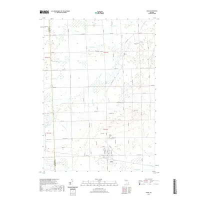 2019 Capac2019 Print · USGSThe village of Capac and the surrounding farmland of Mussey Township are shown here in the late 2010s. Researchers can locate family burial sites at Lynn Township Cem and Pine Hill Cem or trace the drainage networks of the South Branch Mill Creek.
 - 2019 Map of Burnside, 2019 Print
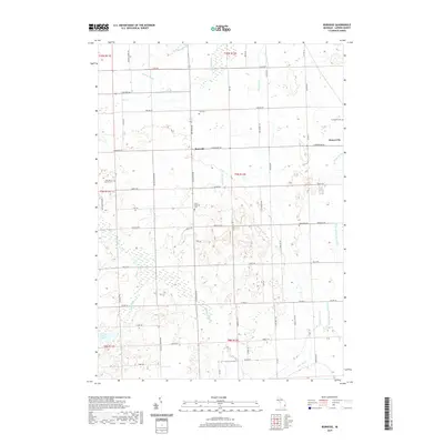 2019 Burnside2019 Print · USGSThe Lapeer County countryside near Burnside remains a landscape of agricultural heritage and family history in this recent survey. Researchers can trace local lineage through several landmarks, including Saint Mary's Catholic Cem, Deanville Cem, and Clear Lake.
 - 2019 Map of Brown City, 2019 Print
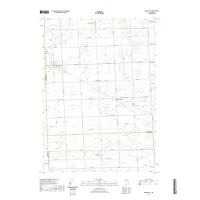 2019 Brown City2019 Print · USGSThe borderlands of Lapeer and Sanilac counties are documented here in the modern era. Genealogists can locate legacy sites like Evergreen Cem and Valley Center Cem or trace the drainage networks of Elk Cr and Wait Drain.
Showing maps 1-25 of 29
Top cities near Goodland Township
- Oxford Charter Township historical maps
- Addison Township historical maps
- Attica historical maps
- Imlay City historical maps
- Almont historical maps
- Burnside historical maps
See more
Top neighborhoods of Goodland Township
Frequently asked questions
- What are the different types of historical maps available for Goodland Township?
- What is the oldest map of Goodland Township?
- Where can I purchase historical maps of Goodland Township for my home or office?
- Where can I download high-res historical maps of Goodland Township?
- Are there historical topographic maps available for Goodland Township?
- Is there historical aerial imagery available for Goodland Township?
- Where are historical maps of Goodland Township sourced from?