Old Maps of Lapeer Township, Michigan
Explore 37 old maps of Lapeer Township, spanning from 1943 to today. These high-resolution historic maps reveal how streets, neighborhoods, landmarks, and natural features evolved over time — perfect for genealogy, metal detecting, research, and local history exploration.
What you can do with these maps:
- See how Lapeer Township changed over time: Compare historical maps to modern-day views to trace roads, homesites, rail lines & more.
- View detailed metadata: Each map includes creators, publishers, year, scale, and archive source.
- Overlay maps with satellite & LiDAR: Visualize the past alongside modern tools to explore terrain & human change.
- Trusted historical sources: Maps sourced from the USGS, Library of Congress, and other archives.
- Access maps your way: View online, download high-res files, or order prints for personal or research use.
Start exploring old maps of Lapeer Township to uncover forgotten places, hidden landmarks, and the deep history beneath your feet.
Lapeer Township, MI maps
(37)- 1943 Map of Metamora, 1964 Print
 1943 Metamora1964 Print · USGSLapeer County during the early 1940s shows a landscape of small villages and rural schools along the Michigan Central line. Genealogists can trace family names through landmarks like Harris Cem, Newark Sch, and Lake Minnewanna.
 - 1945 Map of Thornville
 1945 Thornville1945 Print · USGSLapeer County townships are shown here during the mid-forties, characterized by a dense landscape of glacial lakes and crossroads settlements. Researchers can pinpoint several country schoolhouses and four distinct burial grounds, including Foot Cem and South Attica Cem.3 unique versions available
 - 1946 Map of Metamora
 1946 Metamora1946 Print · USGSLapeer County was a landscape of small farms and numerous glacial lakes during the mid-1940s. Researchers can trace the Michigan Central rail corridor and locate community landmarks like Farmers Creek Cem, Camp Metamora, and several rural schools.2 unique versions available
 - 1954 Map of Detroit
 1954 Detroit1954 Print · USGSThe Detroit metro and its Ontario neighbors are shown at the height of the mid-century industrial era, just as the suburbs were rapidly expanding. Researchers can trace the massive rail networks of the Wabash Railroad or locate landmarks like Grosse Ile and Selfridge Air Force Base.
 - 1954 Map of Flint, 1968 Print
 1954 Flint1968 Print · USGSThe industrial corridor and fertile Thumb region of Michigan come alive in this mid-century survey. Genealogists and historians can trace the rail networks of the Grand Trunk, locate established settlements like Bad Axe and Sandusky, or explore the 1950s shoreline along Saginaw Bay.4 unique versions available
 - 1958 Map of Flint
 1958 Flint1958 Print · USGSThe Michigan Thumb and the Saginaw Valley are captured here during the height of the post-war industrial era. Researchers can trace the complex rail networks of the Grand Trunk Western or locate mid-century landmarks like Lakeport State Park and the port at Bay City.2 unique versions available
 - 1961 Map of Detroit, 1973 Print
 1961 Detroit1973 Print · USGSThe international border between Michigan and Ontario was a bustling industrial corridor in the early sixties. Researchers can trace the transit networks and riverfront infrastructure connecting Detroit to Windsor via the Detroit-Windsor Tunnel and major air hubs like Willow Run Airport.2 unique versions available
 - 1963 Map of Attica, 1964 Print
 1963 Attica1964 Print · USGSLapeer County's rural landscape is captured here in the early sixties, showing a transition between agricultural tradition and local recreation. Genealogists and historians can trace family roots through several district schoolhouses like Fish Lake Sch and the small settlements of Lum and Attica.2 unique versions available
 - 1963 Map of Lapeer, 1964 Print
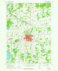 1963 Lapeer1964 Print · USGSLapeer and its surrounding townships are shown here in the early sixties as a center for regional institutions and rural education. Genealogists can locate family landmarks like Mt Loretto Cem and numerous district schools such as Valentine Sch and Irwin Sch.2 unique versions available
 - 1965 Map of Detroit
 1965 Detroit1965 Print · USGSThe industrial corridor between Michigan and Ontario is captured here at mid-century, showing the dense rail and river networks of the Great Lakes. Local historians can trace the paths of the Grand Trunk Western RR and locate key landmarks like Selfridge Air Force Base and Grosse Ile.
 - 1968 Map of Thornville, 1970 Print
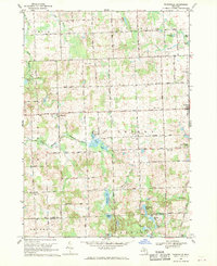 1968 Thornville1970 Print · USGSThe Lapeer County countryside in the late sixties reveals a network of farming hamlets and glacial lakes. Family history researchers can trace sites like Dryden Center Cem, the village of Thornville, and the Grand Trunk Western rail line.
 - 1968 Map of Metamora, 1970 Print
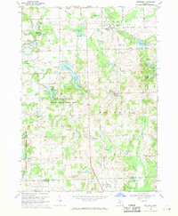 1968 Metamora1970 Print · USGSLapeer County's rolling lake country is captured here in the late sixties as the village of Metamora and the hamlet of Thomas anchor the local rail line. Researchers can trace historic family burial sites like Harris Cem and Schuneman Cem or explore the early footprints of Camp Metamora and the Metamora-Hadley State Recreation Area.2 unique versions available
 - 1984 Map of Flint, 1985 Print
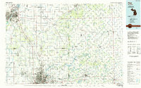 1984 Flint1985 Print · USGSThe industrial corridor between Flint and Saginaw is captured here during the mid-1980s, showcasing a landscape of growing suburbs and preserved wildlands. Researchers can trace the Grand Trunk Western RR or locate local landmarks like St Johns Ch and Flint Memorial Park Cem.
 - 1985 Map of Pontiac
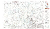 1985 Pontiac1985 Print · USGSSoutheast Michigan in the mid-1980s shows a landscape of growing suburban corridors and expansive public parklands. Genealogists and local historians can trace the footprint of rail lines like the Grand Trunk Western or locate family sites near Oakwood Cem and White Chapel Cem.2 unique versions available
 - 1990 Map of Flint, 1991 Print
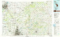 1990 Flint1991 Print · USGSThe Flint and Saginaw corridors are captured here in the early nineties, showing a landscape defined by heavy industry and rural expanses. Genealogists and historians can trace the rail lines of the Penn Central RR, visit Flint Memorial Park Cem, or explore the limits of Zilwaukee.
 - 1991 Map of Metamora
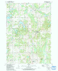 1991 Metamora1991 Print · USGSLapeer County's lake-studded landscape is captured here in the early nineties as rural homesteads and recreation areas define the terrain. Researchers can trace family history at Farmers Creek Cem, locate the village of Metamora, and find the D Bar A Scout Ranch.
 - 1991 Map of Thornville
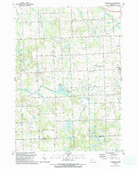 1991 Thornville1991 Print · USGSLapeer County in the early 1990s shows a landscape of glacial lakes and rural settlements centered on the village of Dryden. Researchers can trace the path of the GT RR or locate family history at the South Dryden Pioneer Cem and Thornville Cem.
 - 2011 Map of Attica, 2011 Print
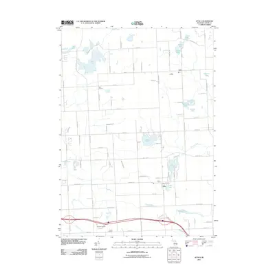 2011 Attica2011 Print · USGSAttica Township in the early twenty-first century remains a landscape of historic hamlets and glacial lakes. Researchers can trace family origins at Bahel Cemetery or Lum Cemetery, and locate old landmarks like the Attica Post Office and Lake Pleasant.
 - 2011 Map of Lapeer, 2011 Print
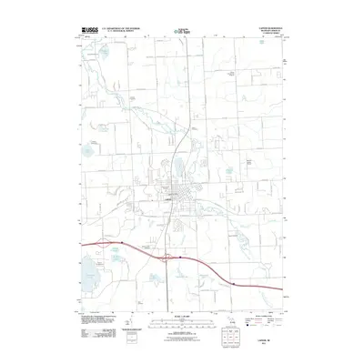 2011 Lapeer2011 Print · USGSLapeer and its surrounding countryside are captured here in the early 2000s, showing a landscape shaped by the South Branch Flint River. Researchers can trace local heritage through several burial grounds, including Millville Cemetery and Higley Cemetery, or locate landmarks like the Dupont-Lapeer Airport.
 - 2011 Map of Metamora, 2011 Print
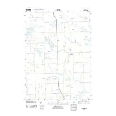 2011 Metamora2011 Print · USGSMetamora and the surrounding Lapeer County countryside are shown here at the turn of the millennium. Local researchers can trace family roots through several burial grounds including Farmers Creek Cemetery and Metamora Cemetery, or locate the D Bar A Scout Ranch.
 - 2011 Map of Thornville, 2011 Print
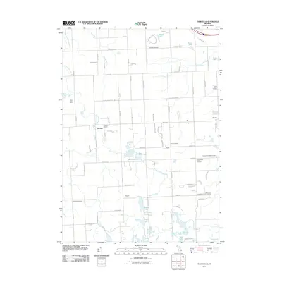 2011 Thornville2011 Print · USGSOxford Charter Township and its surroundings are documented here just after the turn of the millennium. Genealogists can trace family lines through numerous sites including Thornville Cemetery, Harris Cemetery, and South Dryden Pioneer Cemetery.
 - 2014 Map of Metamora, 2014 Print
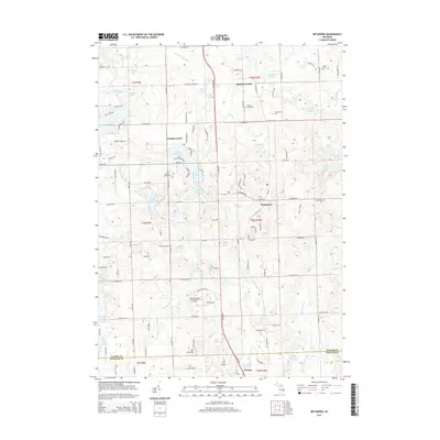 2014 Metamora2014 Print · USGSMetamora and the surrounding Lapeer County countryside are shown here in the early 2010s, revealing a landscape of glacial lakes and historic rural crossroads. Family researchers can locate five local burial grounds including Harris Cem and Farmers Creek Cem, or trace the winding S Br Flint River.
 - 2014 Map of Thornville, 2014 Print
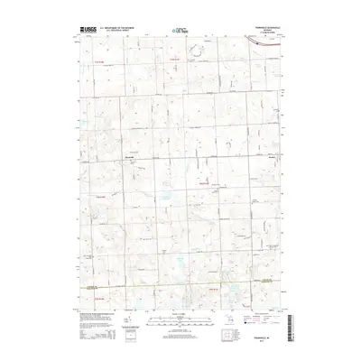 2014 Thornville2014 Print · USGSThe Lapeer and Oakland County borderlands are documented here just after the turn of the millennium, showing a landscape of scattered rural settlements and glacial lakes. Genealogists can locate family burial sites at Thornville Cem, S Dryden Pioneer Cem, and Rock Valley Cem.
 - 2014 Map of Lapeer, 2014 Print
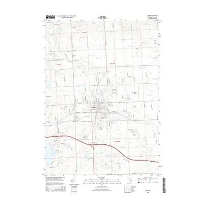 2014 Lapeer2014 Print · USGSLapeer and its surrounding townships are shown here in the early twenty-first century, revealing a landscape of glacial lakes and extensive water management. Genealogists and historians can trace the grounds of the Lapeer State Home and several local burial sites including Millville Cem and Stiles Cem.
 - 2014 Map of Attica, 2014 Print
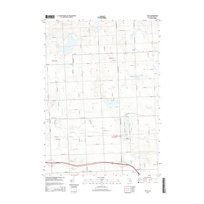 2014 Attica2014 Print · USGSLapeer County's rural heartland is meticulously documented here during the early twenty-first century. Researchers can locate family heritage sites at the Attica Cem or Roscoe Cem, while tracing the waterways of Lake Pleasant and Fish Lake.
Showing maps 1-25 of 37
Top cities near Lapeer Township
- Orion Charter Township historical maps
- Independence Charter Township historical maps
- Washington Charter Township historical maps
- Oxford Charter Township historical maps
- Oakland Charter Township historical maps
- Lapeer historical maps
See more
Top neighborhoods of Lapeer Township
Frequently asked questions
- What are the different types of historical maps available for Lapeer Township?
- What is the oldest map of Lapeer Township?
- Where can I purchase historical maps of Lapeer Township for my home or office?
- Where can I download high-res historical maps of Lapeer Township?
- Are there historical topographic maps available for Lapeer Township?
- Is there historical aerial imagery available for Lapeer Township?
- Where are historical maps of Lapeer Township sourced from?