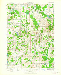
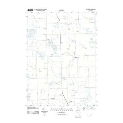
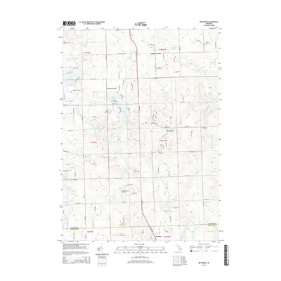
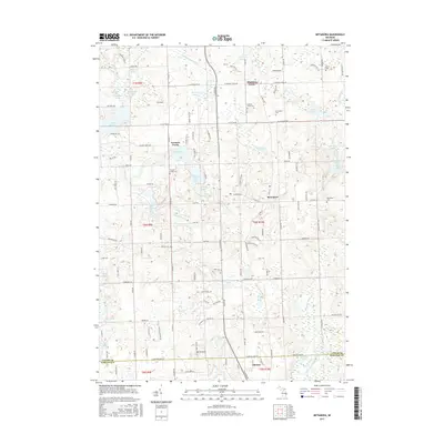
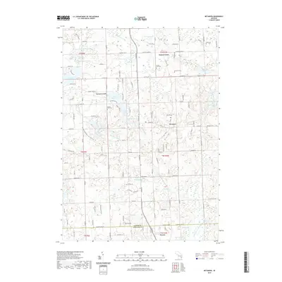
1943 Map of Metamora
USGS Topo · Published 1964About this map
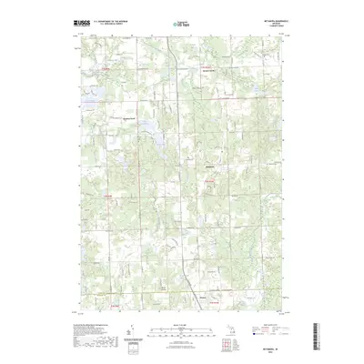
The Michigan Central railroad serves as the primary corridor through this Lapeer County landscape, connecting the village of Metamora with the smaller settlement of Thomas to the south. Surveyed during the early 1940s, the terrain is defined by a dense network of kettle lakes and family-named landmarks that reflect a well-established rural community. Numerous small rural schools, including Newark Sch and Gardner Sch, are scattered across the township, marking the educational hubs of a pre-consolidation era. The presence of multiple dedicated burial grounds like Farmers Creek Cem and Harris Cem provides significant points of interest for genealogical research. Agriculture and recreation intersect at Camp Metamora and along the shores of Lake Minnewanna, while local heights such as Graham Hill and Brauer Hill punctuate the undulating topography of the glacial till.
Find a feature on this map
54 named features on this map. Tap any name to fly to it.
Don’t see what you’re looking for? This feature index may not catch every label — zoom into the map to look around manually.
Map Details
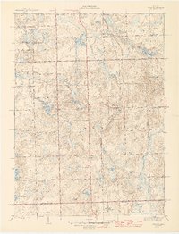
Editions of this 1943 Metamora Map
This is the sole edition of this map. No revisions or reprints were ever made.
Historical Maps of Oxford Charter Township Through Time
9 maps found
Featured Locations
- Elba Township, MI
- Hadley Township, MI
- Oxford Charter Township, MI
- Brandon Charter Township, MI
- Metamora, Metamora Township