
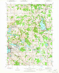
1943 Map of Lake Orion
USGS Topo · Published 1960About this map
Lake Orion serves as the focal point of this northern Oakland County landscape during the early 1940s, showing a transition from lakeside recreation to the rural interior. The village of Lake Orion is clearly defined at the junction of the Michigan Central railroad and Lapeer Rd, while the eastern portion of the sheet features the quieter settlements of Lakeville and Leonard. The terrain is dominated by the Grampian Hills and a dense network of glacial water bodies, including Lakeville Lake, Lake George, and Cranberry Lake.
Find a feature on this map
82 named features on this map. Tap any name to fly to it.
Don’t see what you’re looking for? This feature index may not catch every label — zoom into the map to look around manually.
Map Details
Editions of this 1943 Lake Orion Map
2 editions found
Other maps of this area

1907 · Pontiac
USGS Topo · 1:62,500

1908 · Rochester
USGS Topo · 1:62,500

1936 · Rochester
USGS Topo · 1:31,680

1936 · Washington
USGS Topo · 1:31,680

1936 · Pontiac North
USGS Topo · 1:31,680

1943 · Pontiac North
USGS Topo · 1:24,000

1943 · Oxford
USGS Topo · 1:24,000

1943 · Metamora
USGS Topo · 1:24,000

1943 · Romeo
USGS Topo · 1:24,000
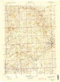
1945 · Rochester
USGS Topo · 1:24,000
Featured Places
- Orion Charter Township, MI
- Oxford Charter Township, MI
- Oakland Charter Township, MI
- Addison Township, MI
- Oxford, MI