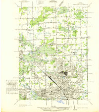
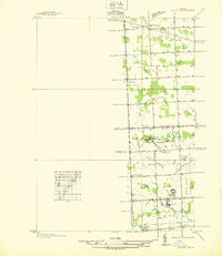
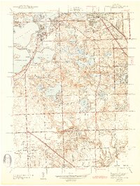
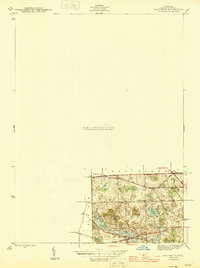
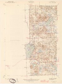
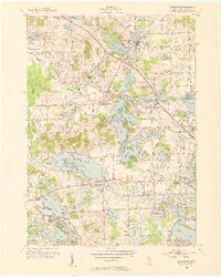
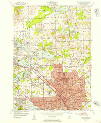
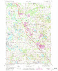
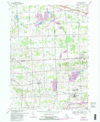
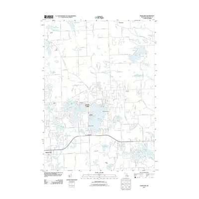
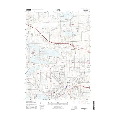
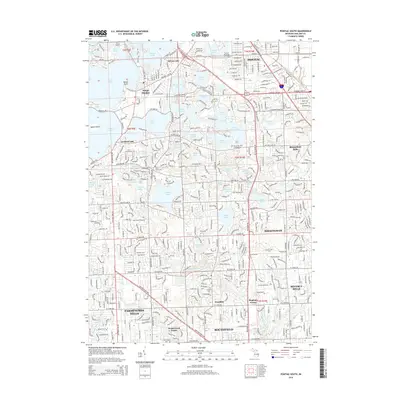
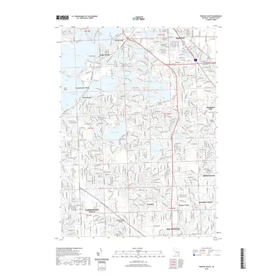
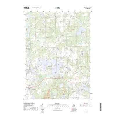
1936 Map of Pontiac North
USGS Topo · Published 1936About this map
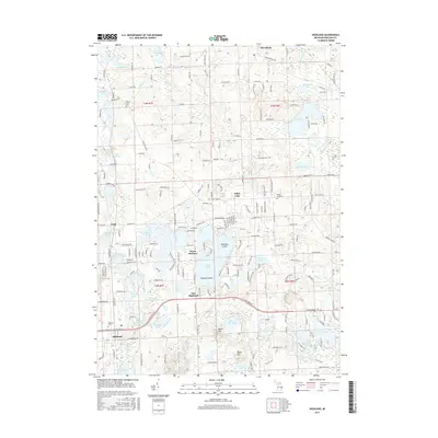
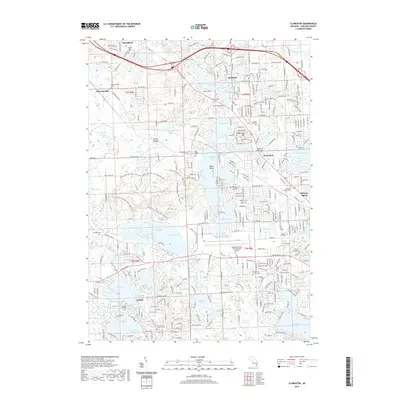
Lake Angelus and its surrounding wetlands form the center of this Oakland County landscape, recorded during a period of significant local growth. The map illustrates the transition from the lake-dotted rural townships of Independence and Orion to the expanding urban grid of northern Pontiac. A concentration of civic and social infrastructure is evident, including the expansive grounds of the Pontiac State Asylum and several neighborhood institutions like the Bethel Tabernacle and Pontiac General Hospital.
Find a feature on this map
131 named features on this map. Tap any name to fly to it.
Don’t see what you’re looking for? This feature index may not catch every label — zoom into the map to look around manually.
Map Details
Editions of this 1936 Pontiac North Map
This is the sole edition of this map. No revisions or reprints were ever made.
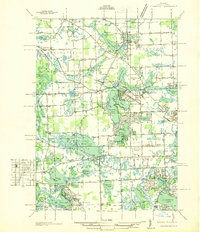
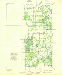
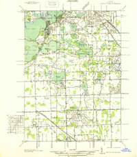
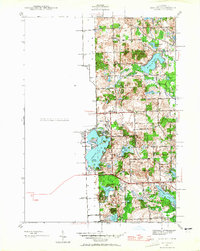
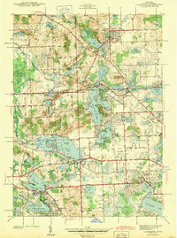
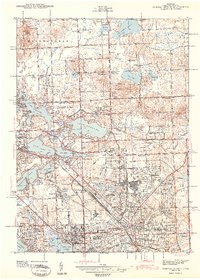
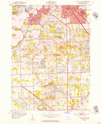
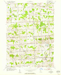
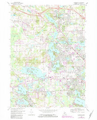
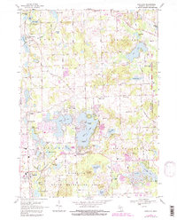
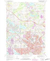
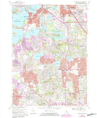
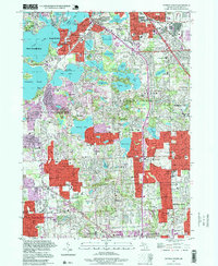
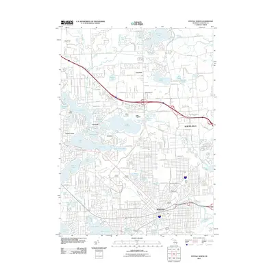
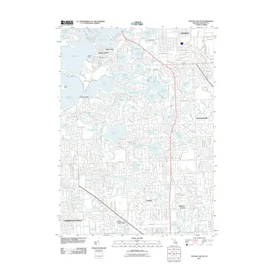
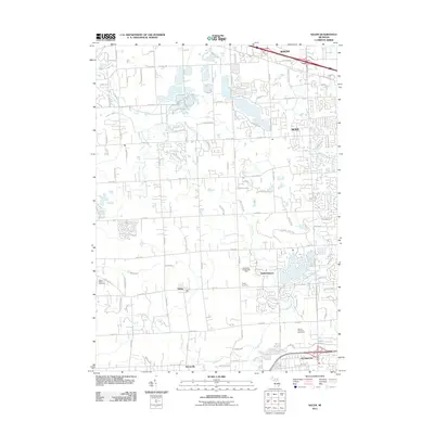
Historical Maps of Waterford Township Through Time
54 maps found
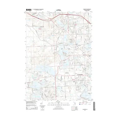
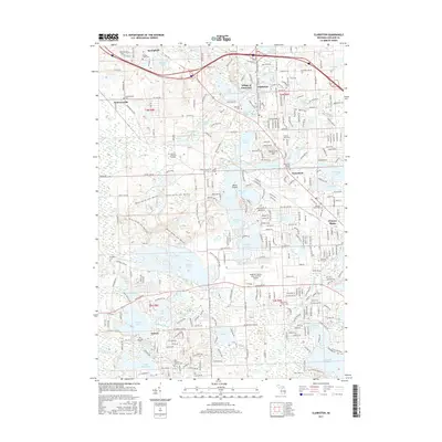
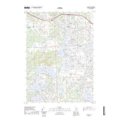
1936 Clarkston
Oakland County, MI
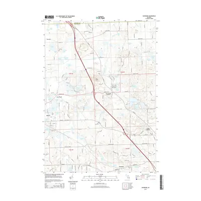
1936 Highland
Oakland County, MI
1936 Pontiac North
Oakland County, MI
1936 Pontiac South
Oakland County, MI
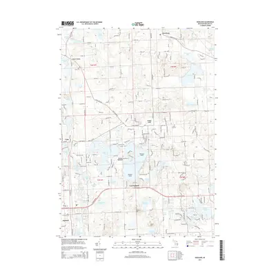
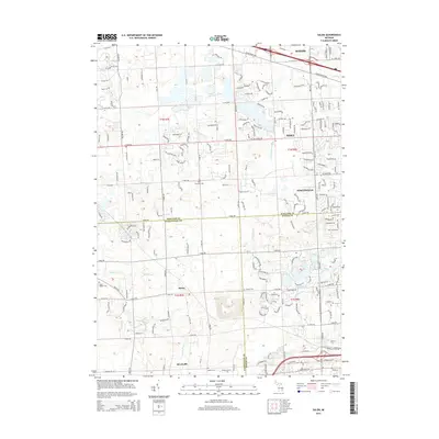
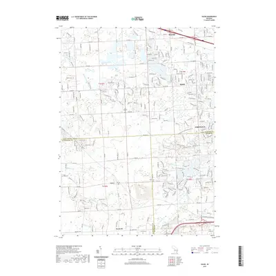
1936 Salem
Oakland County, MI
1942 Highland
Oakland County, MI
1943 Clarkston
Oakland County, MI
1943 Pontiac North
Oakland County, MI
1943 Pontiac South
Oakland County, MI
1945 Davisburg
Oakland County, MI
1945 Highland
Oakland County, MI

1945 Salem
Oakland County, MI
1952 Clarkston
Oakland County, MI
1952 Pontiac North
Oakland County, MI
1952 Pontiac South
Oakland County, MI
1953 Salem
Oakland County, MI
1968 Clarkston
Oakland County, MI
1968 Davisburg
Oakland County, MI
1968 Highland
Oakland County, MI
1968 Pontiac North
Oakland County, MI
1968 Pontiac South
Oakland County, MI
1969 Salem
Oakland County, MI
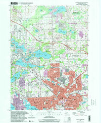
1997 Pontiac North
Oakland County, MI
1997 Pontiac South
Oakland County, MI
2011 Clarkston
Oakland County, MI

2011 Davisburg
Oakland County, MI
2011 Highland
Oakland County, MI
2011 Pontiac North
Oakland County, MI
2011 Pontiac South
Oakland County, MI
2011 Salem
Oakland County, MI
2014 Clarkston
Oakland County, MI
2014 Davisburg
Oakland County, MI
2014 Highland
Oakland County, MI
2014 Pontiac North
Oakland County, MI
2014 Pontiac South
Oakland County, MI
2014 Salem
Oakland County, MI
2017 Clarkston
Oakland County, MI
2017 Davisburg
Oakland County, MI
2017 Highland
Oakland County, MI
2017 Pontiac North
Oakland County, MI
2017 Pontiac South
Oakland County, MI
2017 Salem
Oakland County, MI
2019 Clarkston
Oakland County, MI
2019 Davisburg
Oakland County, MI
2019 Highland
Oakland County, MI
2019 Pontiac North
Oakland County, MI
2019 Pontiac South
Oakland County, MI
2019 Salem
Oakland County, MI
2023 Clarkston
Oakland County, MI
2023 Davisburg
Oakland County, MI
2023 Highland
Oakland County, MI
2023 Pontiac North
Oakland County, MI
2023 Pontiac South
Oakland County, MI
2023 Salem
Oakland County, MI
Featured Locations
- Auburn Hills, MI
- Independence Charter Township, MI
- Orion Charter Township, MI
- Pontiac, MI
- Waterford Township, MI