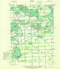
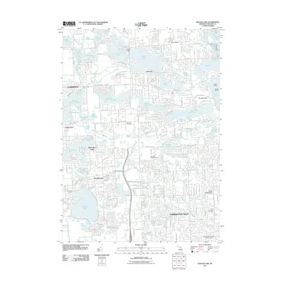
1936 Map of Walled Lake
USGS Topo · Published 1936About this map
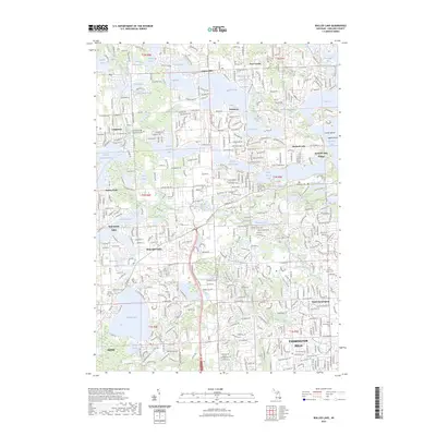
Glacial lakes dominate this 1930s landscape in Oakland County, where recreation and specialized institutions shaped the local economy. At the southern end, the Walled Lake Amusement Park sits on the shores of Walled Lake, signaling the area's development as a leisure destination. To the north, the State Tuberculosis Sanitarium occupies a large tract near Union Lake, chosen for its separation from dense urban centers.
Find a feature on this map
98 named features on this map. Tap any name to fly to it.
Don’t see what you’re looking for? This feature index may not catch every label — zoom into the map to look around manually.
Map Details
Editions of this 1936 Walled Lake Map
This is the sole edition of this map. No revisions or reprints were ever made.
Historical Maps of Farmington Hills Through Time
9 maps found
1936 Walled Lake
Oakland County, MI
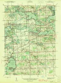
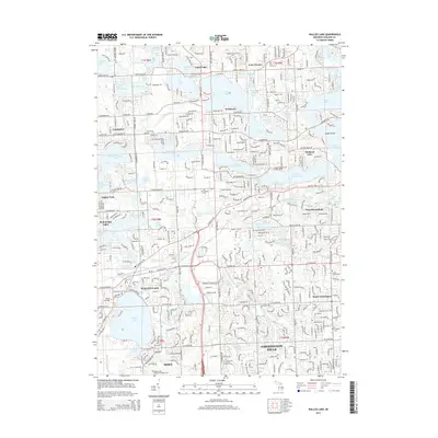
1945 Walled Lake
Oakland County, MI
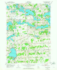
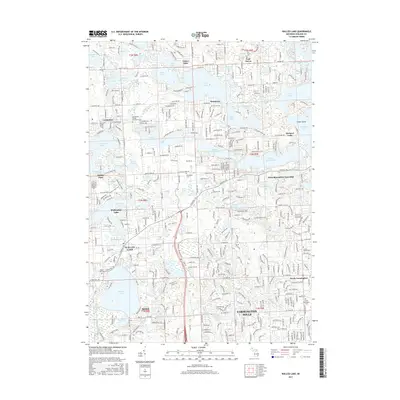
1952 Walled Lake
Oakland County, MI
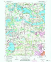
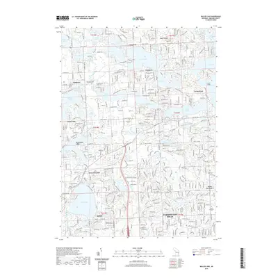
1969 Walled Lake
Oakland County, MI
2011 Walled Lake
Oakland County, MI
2014 Walled Lake
Oakland County, MI
2017 Walled Lake
Oakland County, MI
2019 Walled Lake
Oakland County, MI
2023 Walled Lake
Oakland County, MI
Featured Locations
- Commerce Charter Township, MI
- Farmington Hills, MI
- Novi, MI
- Waterford Township, MI
- West Bloomfield Township, MI