Old Maps of Port Oneida, Glen Arbor Township for Hiking & Exploration
Hike through history with 12 historic maps of Port Oneida. Explore old trails, ghost towns, and forgotten backroads — perfect for outdoor adventurers and local explorers.
- Rediscover forgotten places: Map out old mining camps, roads, and footpaths that no longer exist on modern maps.
- Layer with modern tools: Combine with LiDAR or satellite views to plan hikes through historical terrain.
- Made for exploration: Popular among hikers, overlanders, and local history lovers.
Use these maps to find adventure and explore the hidden past of Port Oneida.
Port Oneida, Glen Arbor Township maps
(12)- 1954 Map of Traverse City, 1965 Print
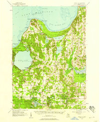
 1954 Traverse City1965 Print · USGSNorthern Michigan’s vast lakeshores and timberlands are captured here in the mid-fifties, showing the region before the modern interstate era. Genealogists and researchers can trace rail connections like the Detroit and Mackinac RR or find old communities such as Suttons Bay, Elk Rapids, and Prudenville.4 unique versions available
 - 1957 Map of Maple City, 1958 Print
 1957 Maple City1958 Print · USGSLeelanau County's lake-studded landscape is captured here in the late fifties, showing the interplay between forest and settlement. Researchers can trace family sites at St Joseph Cem & Ch, the North Unity Sch, and Port Oneida.3 unique versions available
 - 1958 Map of Traverse City
 1958 Traverse City1958 Print · USGSNorthern Lower Michigan was a landscape of vast state forests and burgeoning lakeside retreats in the late fifties. Genealogists and historians can trace the rail corridors of the Ann Arbor RR and find established settlements from Elk Rapids to Houghton Lake.2 unique versions available
 - 1983 Map of Traverse City, 1984 Print
 1983 Traverse City1984 Print · USGSTraverse City and the surrounding bay country are captured in the early eighties as the region balanced its timber heritage with growing conservation. Genealogists and local historians can trace the rail lines of the Ann Arbor RR through settlements like Kingsley and Fife Lake.2 unique versions available
 - 1983 Map of Glen Arbor, 1984 Print
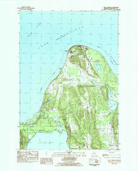 1983 Glen Arbor1984 Print · USGSThe Leelanau Peninsula in the early eighties shows a landscape preserved by federal protection but still bearing the marks of early pioneer settlement. Trace the history of coastal homesteads at Port Oneida or locate family sites like Kelderhouse Cem and St Joseph Ch.
 - 1989 Map of Traverse City, 1990 Print
 1989 Traverse City1990 Print · USGSNorthern Michigan’s lake-country and forest lands are captured in the late eighties as seasonal tourism and timber hubs expanded. Genealogists and historians can trace the routes of the Ann Arbor RR, the boundaries of Camp Grayling, and settlements like Elk Rapids and Manton.
 - 1997 Map of Glen Arbor, 2000 Print
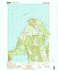 1997 Glen Arbor2000 Print · USGSThe Leelanau County coast is shown here in the late twentieth century, centered on the protected lands of Sleeping Bear Dunes. Genealogists and local historians can trace family ties at Kelderhouse Cem, explore the historic Port Oneida area, or follow the winding Crystal River.
 - 2011 Map of Glen Arbor, 2011 Print
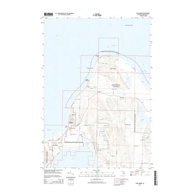
 2011 Glen Arbor2011 Print · USGSCovers Port Oneida, including Glen Arbor, Glen Arbor Township, and other nearby areas
 - 2014 Map of Glen Arbor, 2014 Print
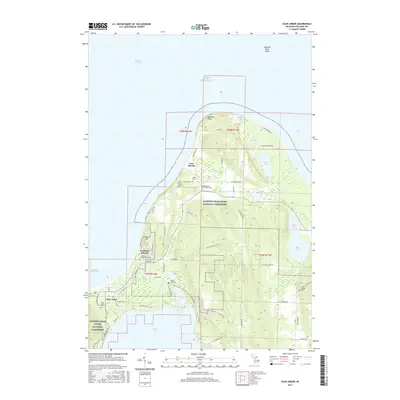
 2014 Glen Arbor2014 Print · USGSCovers Port Oneida, including Glen Arbor, Glen Arbor Township, and other nearby areas
 - 2017 Map of Glen Arbor, 2017 Print
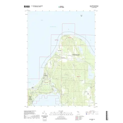
 2017 Glen Arbor2017 Print · USGSCovers Port Oneida, including Glen Arbor, Glen Arbor Township, and other nearby areas
 - 2019 Map of Glen Arbor, 2019 Print
 2019 Glen Arbor2019 Print · USGSCovers Port Oneida, including Glen Arbor, Glen Arbor Township, and other nearby areas
 - 2023 Map of Glen Arbor, 2023 Print
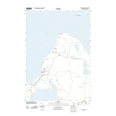
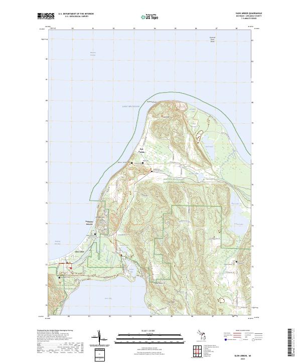 2023 Glen Arbor2023 Print · USGSLeelanau County's Lake Michigan coast is captured here in recent detail, showing the intersection of protected wilderness and local history. Researchers can find numerous family-named burial sites including Miller Cem and Werner - Erickson Cem alongside landmarks like Kelderhouse.
End of results
Showing maps 1-12 of 12
Top cities near Port Oneida
- Long Lake Township historical maps
- Long Lake Charter Township historical maps
- Solon historical maps
- Leland historical maps
- Empire historical maps
- Lake Ann historical maps
See more
Frequently asked questions
- What are the different types of historical maps available for Port Oneida?
- What is the oldest map of Port Oneida?
- Where can I purchase historical maps of Port Oneida for my home or office?
- Where can I download high-res historical maps of Port Oneida?
- Are there historical topographic maps available for Port Oneida?
- Is there historical aerial imagery available for Port Oneida?
- Where are historical maps of Port Oneida sourced from?