Old Maps of North Manitou, Leland Township for Academic Research
Study the evolution of North Manitou with 11 high-resolution historic maps. Whether you're teaching, researching, or modeling changes in land use, these maps provide essential visual documentation of urban, environmental, and geographic change.
- Analyze long-term change: Track patterns in development, transportation, and natural features.
- Ideal for environmental or urban studies: Support academic projects with primary historical map data.
- Use in the classroom or lab: Educators and researchers rely on these maps to bring historical context to life.
These maps are a powerful tool for teaching, research, and visualizing how North Manitou has changed over the decades.
North Manitou, Leland Township maps
(11)- 1955 Map of Cheboygan, 1964 Print
 1955 Cheboygan1964 Print · USGSNorthern Michigan in the mid-fifties is a landscape of dense timber and deep water, showing the region just as the road network began to modernize. Trace family roots in lakeside towns like St Ignace and Petoskey, or follow the historic tracks of the Pennsylvania RR and New York Central RR.5 unique versions available
 - 1956 Map of North Manitou, 1958 Print
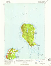 1956 North Manitou1958 Print · USGSNorth Manitou and South Manitou islands are captured here in the mid-fifties, showing a landscape of maritime navigation and quiet interior lakes. Researchers can locate the N Manitou I Sch (Abandoned), the S Manitou I Cem, and the vital Lifeboat Station.2 unique versions available
 - 1958 Map of Cheboygan
 1958 Cheboygan1958 Print · USGSThe tip of Michigan's Lower Peninsula and the surrounding Great Lakes islands are shown here in the late fifties, during the peak of the rail-and-ferry era. Trace the paths of the Pennsylvania RR and explore lakeside settlements like St James, Petoskey, and Indian River.2 unique versions available
 - 1983 Map of North Manitou Island, 1984 Print
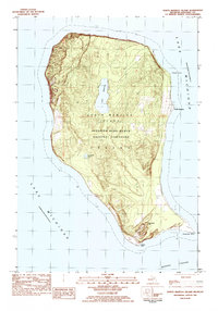 1983 North Manitou Island1984 Print · USGSNorth Manitou Island's isolated landscape is captured in the early eighties following its incorporation into a national lakeshore. Trace the island's human history through the North Manitou settlement, the lakeside Cem, and landmarks like Old Baldy Hill.2 unique versions available
 - 1984 Map of Charlevoix, 1985 Print
 1984 Charlevoix1985 Print · USGSNorthern Michigan’s coastal peninsulas and deep inland lakes are captured here in the mid-eighties, showing the region's unique maritime and rail connectivity. Researchers can trace historic family-named landmarks and infrastructure like Woolsey Memorial Airport, Barnard Ch, and the Chesapeake and Ohio RR.2 unique versions available
 - 1997 Map of North Manitou Island, 2000 Print
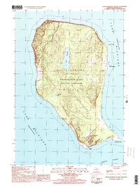 1997 North Manitou Island2000 Print · USGSNorth Manitou Island in the late twentieth century remains a pristine landscape of the Great Lakes. Researchers can trace the layout of the North Manitou settlement, find a small Cem, and locate interior landmarks like Lake Manitou and Old Baldy Hill.
 - 2011 Map of North Manitou Island OE E, 2011 Print
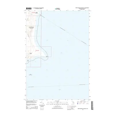
 2011 North Manitou Island OE E2011 Print · USGSCovers North Manitou, including Leland Township, Leelanau County, and other nearby areas
 - 2014 Map of North Manitou Island OE E, 2014 Print
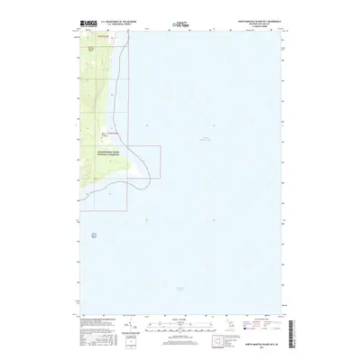
 2014 North Manitou Island OE E2014 Print · USGSCovers North Manitou, including Leland Township, Leelanau County, and other nearby areas
 - 2017 Map of North Manitou Island OE E, 2017 Print
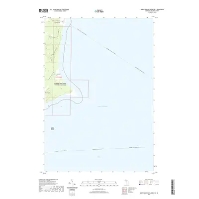
 2017 North Manitou Island OE E2017 Print · USGSCovers North Manitou, including Leland Township, Leelanau County, and other nearby areas
 - 2019 Map of North Manitou Island OE E, 2019 Print
 2019 North Manitou Island OE E2019 Print · USGSCovers North Manitou, including Leland Township, Leelanau County, and other nearby areas
 - 2023 Map of North Manitou Island OE E, 2023 Print
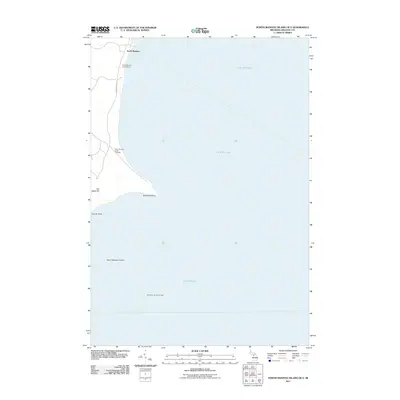
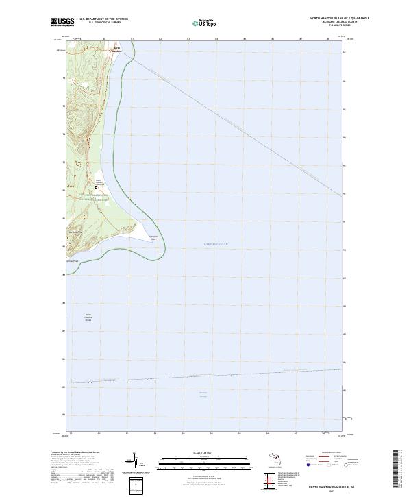 2023 North Manitou Island OE E2023 Print · USGSNorth Manitou Island's eastern shore remains a secluded landscape within Lake Michigan's protected waters. Genealogists and maritime historians can trace the paths of the Passenger Ferry (Seasonal) Trl and locate the historic North Manitou Island Cem.
End of results
Showing maps 1-11 of 11
Top cities near North Manitou
Frequently asked questions
- What are the different types of historical maps available for North Manitou?
- What is the oldest map of North Manitou?
- Where can I purchase historical maps of North Manitou for my home or office?
- Where can I download high-res historical maps of North Manitou?
- Are there historical topographic maps available for North Manitou?
- Is there historical aerial imagery available for North Manitou?
- Where are historical maps of North Manitou sourced from?