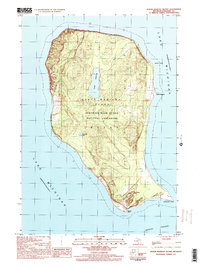
1997 Map of North Manitou Island
USGS Topo · Published 2000About this map
North Manitou Island occupies a strategic position within the Lake Michigan waters of Leelanau County, protected as part of the Sleeping Bear Dunes National Lakeshore. The interior landscape is dominated by the large Lake Manitou and the smaller Tamarack Lake, surrounded by high coastal elevations such as Old Baldy Hill. Evidence of the island's human history is visible at the North Manitou settlement and a small Cem located near the eastern shore. The coastline is defined by prominent geographical features including Vessel Point to the north and the jagged extensions of Donner Point and Dimmicks Point at the southern tip. These points overlook the Manitou Passage, a vital maritime corridor for Great Lakes shipping.
Find a feature on this map
13 named features on this map. Tap any name to fly to it.
Don’t see what you’re looking for? This feature index may not catch every label — zoom into the map to look around manually.
Map Details
Editions of this 1997 North Manitou Island Map
This is the sole edition of this map. No revisions or reprints were ever made.
Other maps of this area

1954 · Escanaba
USGS Topo · 1:250,000

1955 · Cheboygan
USGS Topo · 1:250,000

1956 · North Manitou
USGS Topo · 1:62,500

1957 · Escanaba
USGS Topo · 1:250,000

1958 · Escanaba
USGS Topo · 1:250,000

1958 · Cheboygan
USGS Topo · 1:250,000
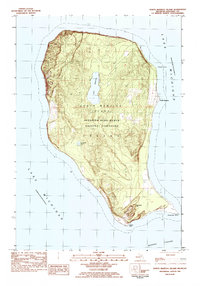
1983 · North Manitou Island
USGS Topo · 1:25,000
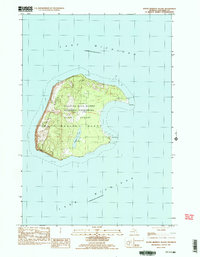
1983 · South Manitou Island
USGS Topo · 1:24,000

1984 · Washington Island
USGS Topo · 1:100,000

1984 · Charlevoix
USGS Topo · 1:100,000