
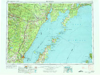
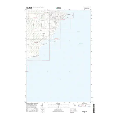
1957 Map of Escanaba
USGS Topo · Published 1957About this map
The Menominee Range and the industrial hubs of Iron Mountain and Kingsford anchor the western reaches of this mid-century survey. Heavy transport infrastructure is evident through the Chicago & North Western RR corridor, which served the region's mining and timber interests. The geography is defined by the massive aquatic divide of Green Bay, separating the Upper Peninsula of Michigan from the Door Peninsula of Wisconsin.
Find a feature on this map
222 named features on this map. Tap any name to fly to it.
Don’t see what you’re looking for? This feature index may not catch every label — zoom into the map to look around manually.
Map Details
Editions of this 1957 Escanaba Map
This is the sole edition of this map. No revisions or reprints were ever made.
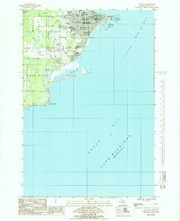
Historical Maps of Escanaba Through Time
11 maps found
1954 Escanaba
Delta County, MI
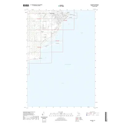
1957 Escanaba
Delta County, MI

1958 Escanaba
Delta County, MI

1958 Escanaba
Delta County, MI

1982 Escanaba
Delta County, MI
1985 Escanaba
Delta County, MI
2011 Escanaba
Delta County, MI
2014 Escanaba
Delta County, MI
2017 Escanaba
Delta County, MI
2019 Escanaba
Delta County, MI
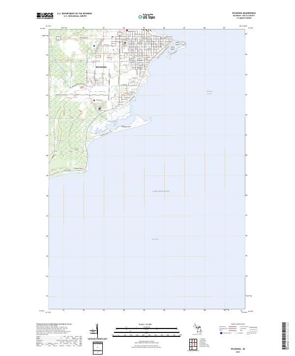
2023 Escanaba
Delta County, MI