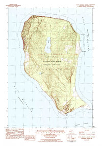
1983 Map of North Manitou Island
USGS Topo · Published 1984About this map
North Manitou Island is preserved here as part of the Sleeping Bear Dunes National Lakeshore, showing the island's landscape just a few years after its inclusion in the national park system. The settlement of North Manitou sits on the eastern shore, marked by a Dock reaching into Lake Michigan. Internal geography is dominated by Lake Manitou and the smaller Tamarack Lake, while the southern end is defined by the prominent Old Baldy Hill. This survey provides a look at the island's trails and topographic contours before further decades of park management altered the human footprint. Genealogy researchers can locate the Cem near the eastern coast, while maritime interest centers on named coastal features like Vessel Point, Dimmicks Point, and Donner Point overlooking the Manitou Passage.
Find a feature on this map
15 named features on this map. Tap any name to fly to it.
Don’t see what you’re looking for? This feature index may not catch every label — zoom into the map to look around manually.
Map Details
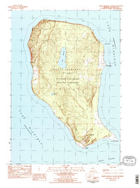
Editions of this 1983 North Manitou Island Map
2 editions found
Other maps of this area

1954 · Escanaba
USGS Topo · 1:250,000

1955 · Cheboygan
USGS Topo · 1:250,000

1956 · North Manitou
USGS Topo · 1:62,500

1957 · Escanaba
USGS Topo · 1:250,000

1958 · Escanaba
USGS Topo · 1:250,000

1958 · Cheboygan
USGS Topo · 1:250,000
1983 · South Manitou Island
USGS Topo · 1:24,000

1984 · Washington Island
USGS Topo · 1:100,000

1984 · Charlevoix
USGS Topo · 1:100,000
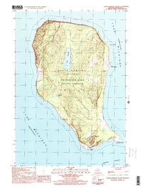
1997 · North Manitou Island
USGS Topo · 1:24,000