Old Maps of Franklin Township, Michigan for Hiking & Exploration
Hike through history with these historic maps of Franklin Township. Explore old trails, ghost towns, and forgotten backroads — perfect for outdoor adventurers and local explorers.
- Rediscover forgotten places: Map out old mining camps, roads, and footpaths that no longer exist on modern maps.
- Layer with modern tools: Combine with LiDAR or satellite views to plan hikes through historical terrain.
- Made for exploration: Popular among hikers, overlanders, and local history lovers.
Use these maps to find adventure and explore the hidden past of Franklin Township.
Franklin Township, MI maps
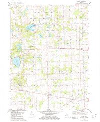
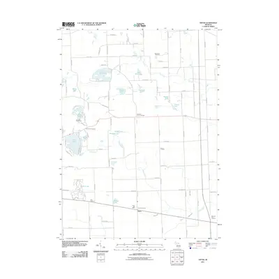
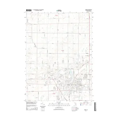
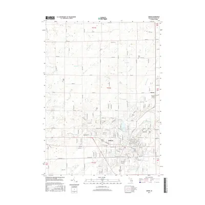
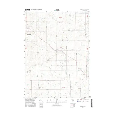
- 1948 Map of Manchester, 1972 Print
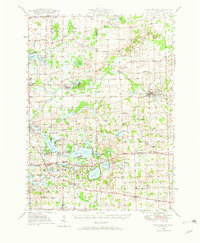 1948 Manchester1972 Print · USGSManchester and the Irish Hills region are shown here just after the war, when the New York Central rail line still connected these rural townships. Genealogists can trace dozens of local schoolhouses and churches, such as Sharon Hill Sch and North Sharon Ch.2 unique versions available
 - 1949 Map of Manchester
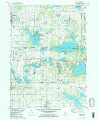
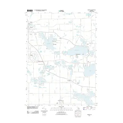
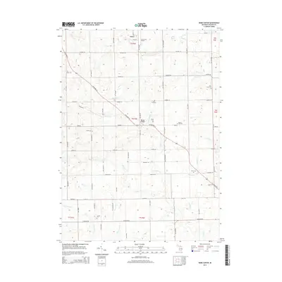
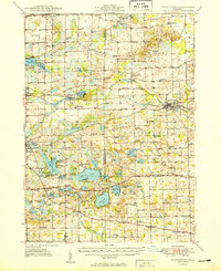 1949 Manchester1949 Print · USGSSoutheast Michigan in the late 1940s reveals a patchwork of small-town centers and lakeside retreats connected by the New York Central rail line. Genealogists can trace family roots through dozens of local sites like Raymond Cem, Iron Creek Ch, and the McMahon Sch.3 unique versions available
 - 1953 Map of Fort Wayne, 1963 Print
 1953 Fort Wayne1963 Print · USGSNortheast Indiana and its neighboring borderlands in Michigan and Ohio appear here during a peak era of rail and road expansion. Researchers can trace the massive rail networks of the Nickel Plate Road and Wabash or locate lakeside landmarks like Lake Wawasee and Clear Lake.4 unique versions available
 - 1956 Map of Fort Wayne
 1956 Fort Wayne1956 Print · USGSThe tri-state borderlands of Indiana, Michigan, and Ohio are captured here in the mid-fifties, centered on the growing industrial hub of Fort Wayne. Researchers can trace the heavy rail lines of the New York Central and Pennsylvania alongside prominent water features like Lake Wawasee and the Maumee River.2 unique versions available
 - 1958 Map of Grand Rapids, 1973 Print
 1958 Grand Rapids1973 Print · USGSSouthern Michigan at the peak of the postwar era shows a landscape of burgeoning cities and new interstate highways. Trace family roots and regional growth in Grand Rapids, Battle Creek, and the glacial lake country around Gun Lake or Gull Lake.2 unique versions available
 - 1961 Map of Grand Rapids
 1961 Grand Rapids1961 Print · USGSSouthern Michigan at the dawn of the 1960s reveals a region shaped by major river systems and a robust rail network. Trace mid-century industrial growth and land use from Grand Rapids to the Fort Custer Military Reservation and Gun Lake.
 - 1962 Map of Grand Rapids
 1962 Grand Rapids1962 Print · USGSMid-century Southern Michigan is mapped here at a time of massive growth, showing the expanding urban footprints of Grand Rapids and Lansing. Researchers can trace the legacy of the Grand Trunk Western RR, find historic boundaries of the Fort Custer Military Reservation, or locate sporting camps around Gun Lake.2 unique versions available
 - 1962 Map of Adrian, 1963 Print
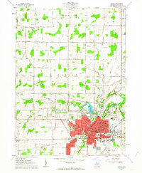 1962 Adrian1963 Print · USGSAdrian was a bustling rail and educational center in the early sixties, defined by its river crossings and expanding industrial footprint. Genealogists and historians can trace the campuses of Adrian College and Siena Heights College or locate family plots in Oakwood Cemetery and St Johns Cem.4 unique versions available
 - 1962 Map of Rome Center, 1964 Print
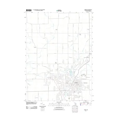
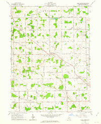 1962 Rome Center1964 Print · USGSThe rural townships of Lenawee County are captured here in the early sixties, showing a landscape of small farms and crossroads communities. Genealogists can trace family names through landmarks like North Rome Cemetery, School No 2, and the Rome Grange Hall.
 - 1980 Map of Tipton, 1981 Print
 1980 Tipton1981 Print · USGSLenawee County and the Irish Hills region appear in the late 1970s as a landscape of glacial lakes and quiet crossroads. Genealogists and local historians can locate several family cemeteries like Franklin Cem and trace the path of the Old Railroad Grade near Tipton.
 - 1980 Map of Onsted, 1981 Print
 1980 Onsted1981 Print · USGSThe Irish Hills region in the early eighties was a bustling hub of lakefront recreation and automotive racing. Genealogists and local historians can locate Maple Shade Cem, the landmark St Joseph Shrine, and old routes through Brooklyn and Onsted.2 unique versions available
 - 1983 Map of Jackson, 1984 Print
 1983 Jackson1984 Print · USGSJackson and the surrounding lake country are shown in the early eighties as a hub of rail transit and outdoor recreation. Local historians can trace institutional footprints like the State Prison Farm or explore the landscape of Minards Mill and Olivet College.
 - 1985 Map of Adrian
 1985 Adrian1985 Print · USGSThe tri-state borderlands of Michigan, Indiana, and Ohio were well-established by the mid-1980s, characterized by a dense network of glacial lakes and agricultural rail hubs. Genealogists and historians can trace rail lines like the Norfolk and Western Railway and locate landmarks such as the Old Indian Treaty Cem or Riverside Cem.
 - 1990 Map of Adrian, 1991 Print
 1990 Adrian1991 Print · USGSThe Michigan and Ohio borderlands come alive in the final decade of the twentieth century, showing the intricate network of glacial lakes and small-town junctions. Genealogists and local researchers can pinpoint family landmarks from Lakeview Cem to the rail sidings of the Conrail and Norfolk Southern lines.
 - 2011 Map of Adrian, 2011 Print
 2011 Adrian2011 Print · USGSCovers Franklin Township, including Adrian, Dover Township, and other nearby areas
 - 2011 Map of Rome Center, 2011 Print
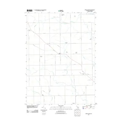 2011 Rome Center2011 Print · USGSCovers Franklin Township, including Rollin Township, Onsted, and other nearby areas
 - 2011 Map of Tipton, 2011 Print
 2011 Tipton2011 Print · USGSCovers Franklin Township, including Manchester Township, Bridgewater Township, and other nearby areas
 - 2011 Map of Onsted, 2011 Print
 2011 Onsted2011 Print · USGSCovers Franklin Township, including Manchester Township, Brooklyn, and other nearby areas
 - 2014 Map of Tipton, 2014 Print
 2014 Tipton2014 Print · USGSCovers Franklin Township, including Manchester Township, Bridgewater Township, and other nearby areas
 - 2014 Map of Onsted, 2014 Print
 2014 Onsted2014 Print · USGSCovers Franklin Township, including Manchester Township, Brooklyn, and other nearby areas
 - 2014 Map of Adrian, 2014 Print
 2014 Adrian2014 Print · USGSCovers Franklin Township, including Adrian, Dover Township, and other nearby areas
 - 2014 Map of Rome Center, 2014 Print
 2014 Rome Center2014 Print · USGSCovers Franklin Township, including Rollin Township, Onsted, and other nearby areas
 - 2017 Map of Onsted, 2017 Print
 2017 Onsted2017 Print · USGSCovers Franklin Township, including Manchester Township, Brooklyn, and other nearby areas
 - 2017 Map of Adrian, 2017 Print
 2017 Adrian2017 Print · USGSCovers Franklin Township, including Adrian, Dover Township, and other nearby areas
 - 2017 Map of Rome Center, 2017 Print
 2017 Rome Center2017 Print · USGSCovers Franklin Township, including Rollin Township, Onsted, and other nearby areas
Showing maps 1-25
Top cities near Franklin Township
- Adrian historical maps
- Scio Township historical maps
- Leoni historical maps
- Tecumseh historical maps
- Napoleon historical maps
- Lodi Township historical maps
See more
Top neighborhoods of Franklin Township
Frequently asked questions
- What are the different types of historical maps available for Franklin Township?
- What is the oldest map of Franklin Township?
- Where can I purchase historical maps of Franklin Township for my home or office?
- Where can I download high-res historical maps of Franklin Township?
- Are there historical topographic maps available for Franklin Township?
- Is there historical aerial imagery available for Franklin Township?
- Where are historical maps of Franklin Township sourced from?