Old Maps of Medina Township, Michigan for Hiking & Exploration
Hike through history with 33 historic maps of Medina Township. Explore old trails, ghost towns, and forgotten backroads — perfect for outdoor adventurers and local explorers.
- Rediscover forgotten places: Map out old mining camps, roads, and footpaths that no longer exist on modern maps.
- Layer with modern tools: Combine with LiDAR or satellite views to plan hikes through historical terrain.
- Made for exploration: Popular among hikers, overlanders, and local history lovers.
Use these maps to find adventure and explore the hidden past of Medina Township.
Medina Township, MI maps
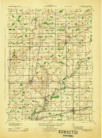
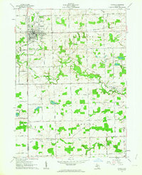
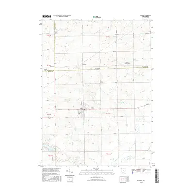
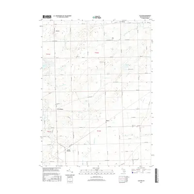
(33)- 1911 Map of Wauseon, 1954 Print
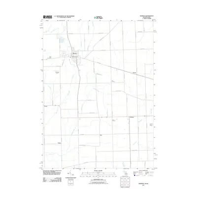
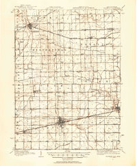 1911 Wauseon1954 Print · USGSFulton County and the Michigan-Ohio borderlands thrived as a major railroad hub in the early twentieth century. Researchers can trace numerous vanished district schools like Swamp Angel School and stop-points like Tedrow PO or Ottokee Sta.
 - 1913 Map of Wauseon
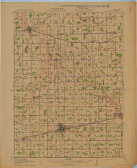 1913 Wauseon1913 Print · USGSFulton County and the Michigan-Ohio border are shown here just before the Great War, during the peak of the region's rural school and rail networks. Genealogists can locate specific family-named landmarks and institutions like Tedrow PO, Ottokee, and the Swamp Angel School.2 unique versions available
 - 1913 Map of Alvordton
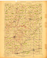 1913 Alvordton1913 Print · USGSThe rural borderlands of Ohio and Michigan are captured here just after the turn of the century, showing a landscape of burgeoning rail junctions and tight-knit farming townships. Researchers can trace the heritage of vanished school districts and country houses of worship like Gray Church and the Mennonite Church near Archbold.3 unique versions available
 - 1943 Map of Wauseon, 1944 Print
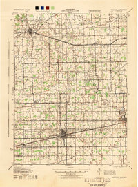 1943 Wauseon1944 Print · USGSFulton County and the Michigan-Ohio border are shown during the mid-forties when steam rail and rural school districts still defined the local geography. Genealogists can trace family footprints across dozens of local landmarks like Ottokee, Winameg, and the uniquely named Swamp Angel Sch.
 - 1944 Map of Alvordton
 1944 Alvordton1944 Print · USGSSpanning the Michigan and Ohio border in the 1940s, this area shows a landscape of busy rail junctions and rural school districts. Genealogists can trace family roots through sites like Gray Church, Virginia School, or the settlements of Fayette and West Unity.
 - 1953 Map of Fort Wayne, 1963 Print
 1953 Fort Wayne1963 Print · USGSNortheast Indiana and its neighboring borderlands in Michigan and Ohio appear here during a peak era of rail and road expansion. Researchers can trace the massive rail networks of the Nickel Plate Road and Wabash or locate lakeside landmarks like Lake Wawasee and Clear Lake.4 unique versions available
 - 1956 Map of Fort Wayne
 1956 Fort Wayne1956 Print · USGSThe tri-state borderlands of Indiana, Michigan, and Ohio are captured here in the mid-fifties, centered on the growing industrial hub of Fort Wayne. Researchers can trace the heavy rail lines of the New York Central and Pennsylvania alongside prominent water features like Lake Wawasee and the Maumee River.2 unique versions available
 - 1960 Map of Morenci, 1961 Print
 1960 Morenci1961 Print · USGSMorenci and the surrounding borderlands of Michigan and Ohio are shown here in the early sixties, as rail lines and rural townships defined the local economy. Genealogists can trace family names through Oak Grove Cemetery, East Chesterfield Ch, and the crossroads at Oakshade.3 unique versions available
 - 1960 Map of Fayette, 1961 Print
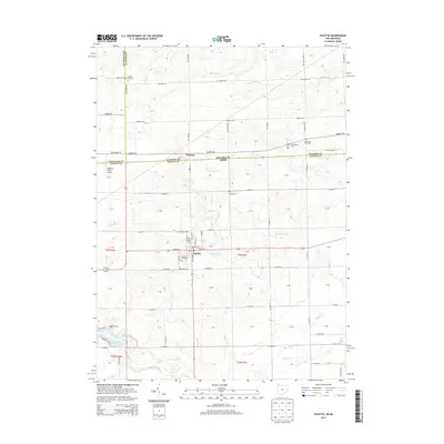
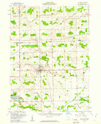 1960 Fayette1961 Print · USGSThe borderlands of Fulton County and Michigan come into focus in this 1960s survey of Fayette. Family historians can trace local landmarks like Snow Cem, the grounds of Camp Palmer, and the rural crossroads of Munson and Powers.4 unique versions available
 - 1962 Map of Clayton, 1963 Print
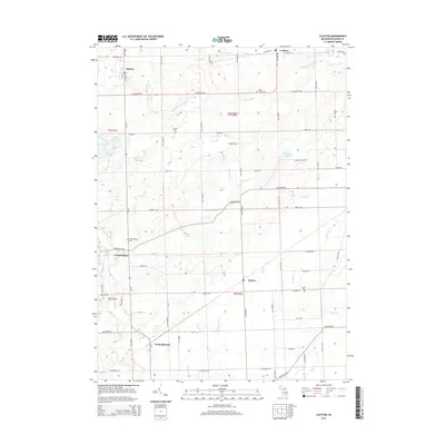
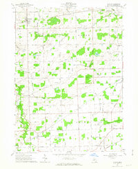 1962 Clayton1963 Print · USGSLenawee County’s rural townships are captured here in the early sixties, showing a landscape defined by rail lines and reclaimed farmland. Family historians can locate specific sites like South Dover Cem, Dover Center Ch, and the Grange Hall.3 unique versions available
 - 1962 Map of Hudson, 1963 Print
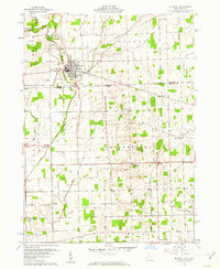
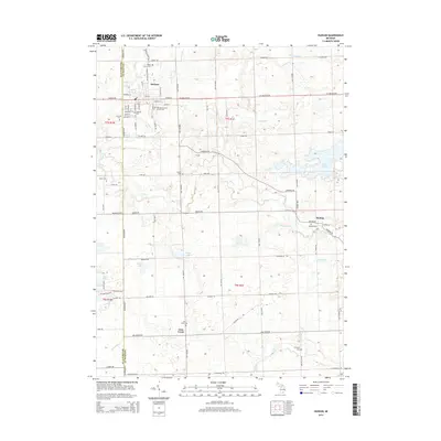
 1962 Hudson1963 Print · USGSHudson and its surrounding townships thrive in the early sixties as a center of rail commerce and agriculture along the New York Central line. Genealogists and local historians can locate many family landmarks, from the Whitney Cem and Brown Cem to the early rural settlements of Medina and Prattville.3 unique versions available
 - 1985 Map of Adrian
 1985 Adrian1985 Print · USGSThe tri-state borderlands of Michigan, Indiana, and Ohio were well-established by the mid-1980s, characterized by a dense network of glacial lakes and agricultural rail hubs. Genealogists and historians can trace rail lines like the Norfolk and Western Railway and locate landmarks such as the Old Indian Treaty Cem or Riverside Cem.
 - 1990 Map of Adrian, 1991 Print
 1990 Adrian1991 Print · USGSThe Michigan and Ohio borderlands come alive in the final decade of the twentieth century, showing the intricate network of glacial lakes and small-town junctions. Genealogists and local researchers can pinpoint family landmarks from Lakeview Cem to the rail sidings of the Conrail and Norfolk Southern lines.
 - 2011 Map of Hudson, 2011 Print
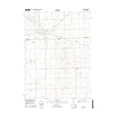
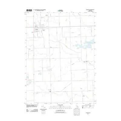 2011 Hudson2011 Print · USGSCovers Medina Township, including Hudson, Medina, and other nearby areas
 - 2011 Map of Clayton, 2011 Print
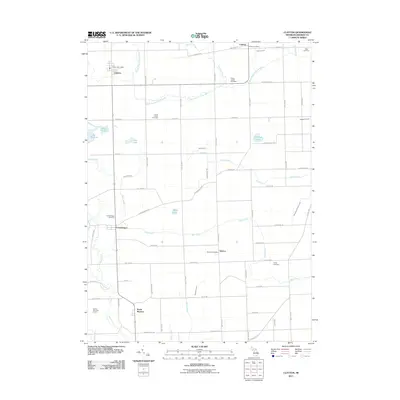 2011 Clayton2011 Print · USGSCovers Medina Township, including Seneca, Clayton, and other nearby areas
 - 2011 Map of Fayette, 2011 Print
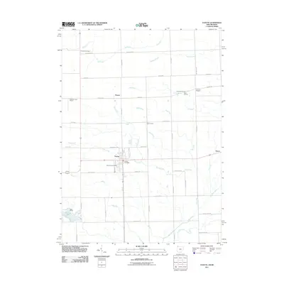 2011 Fayette2011 Print · USGSCovers Medina Township, including Fayette, Wright Township, and other nearby areas
 - 2011 Map of Morenci, 2011 Print
 2011 Morenci2011 Print · USGSCovers Medina Township, including Morenci, Oakshade, and other nearby areas
 - 2013 Map of Fayette, 2013 Print
 2013 Fayette2013 Print · USGSCovers Medina Township, including Fayette, Wright Township, and other nearby areas
 - 2014 Map of Hudson, 2014 Print
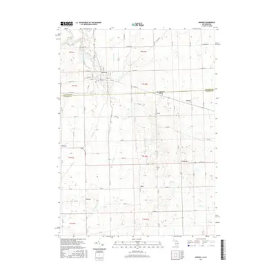
 2014 Hudson2014 Print · USGSCovers Medina Township, including Hudson, Medina, and other nearby areas
 - 2014 Map of Clayton, 2014 Print
 2014 Clayton2014 Print · USGSCovers Medina Township, including Seneca, Clayton, and other nearby areas
 - 2014 Map of Morenci, 2014 Print
 2014 Morenci2014 Print · USGSCovers Medina Township, including Morenci, Oakshade, and other nearby areas
 - 2016 Map of Fayette, 2016 Print
 2016 Fayette2016 Print · USGSCovers Medina Township, including Fayette, Wright Township, and other nearby areas
 - 2017 Map of Morenci, 2017 Print
 2017 Morenci2017 Print · USGSCovers Medina Township, including Morenci, Oakshade, and other nearby areas
 - 2017 Map of Hudson, 2017 Print
 2017 Hudson2017 Print · USGSCovers Medina Township, including Hudson, Medina, and other nearby areas
 - 2017 Map of Clayton, 2017 Print
 2017 Clayton2017 Print · USGSCovers Medina Township, including Seneca, Clayton, and other nearby areas
Showing maps 1-25 of 33
Top cities near Medina Township
- Adrian historical maps
- Wauseon historical maps
- Archbold historical maps
- Rollin historical maps
- Rollin Township historical maps
- Hudson historical maps
See more
Top neighborhoods of Medina Township
Frequently asked questions
- What are the different types of historical maps available for Medina Township?
- What is the oldest map of Medina Township?
- Where can I purchase historical maps of Medina Township for my home or office?
- Where can I download high-res historical maps of Medina Township?
- Are there historical topographic maps available for Medina Township?
- Is there historical aerial imagery available for Medina Township?
- Where are historical maps of Medina Township sourced from?