Old Maps of Southland, Riga Township for Academic Research
Study the evolution of Southland with 14 high-resolution historic maps. Whether you're teaching, researching, or modeling changes in land use, these maps provide essential visual documentation of urban, environmental, and geographic change.
- Analyze long-term change: Track patterns in development, transportation, and natural features.
- Ideal for environmental or urban studies: Support academic projects with primary historical map data.
- Use in the classroom or lab: Educators and researchers rely on these maps to bring historical context to life.
These maps are a powerful tool for teaching, research, and visualizing how Southland has changed over the decades.
Southland, Riga Township maps
(14)- 1911 Map of Swanton, 1956 Print
 1911 Swanton1956 Print · USGSNorthwest Ohio and the Michigan border are captured here just before the era of major highway expansion. Genealogists can trace early twentieth-century property locations near Metamora, Raab Corners, and numerous rural schoolhouses like Frogpond School.
 - 1914 Map of Swanton, 1937 Print
 1914 Swanton1937 Print · USGSThe Ohio-Michigan borderlands come alive in this era of peak rail transit and rural schoolhouse density. Genealogists and historians can trace family roots through numerous local landmarks like Metamora, Richfield Center, and uniquely named sites such as Huckleberry School or Frogpond School.
 - 1935 Map of Berkey
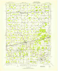
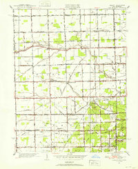
 1935 Berkey1935 Print · USGSLucas County farms and small crossroads settlements are captured here in the mid-1930s as the region transitioned from electric rail to highway travel. Researchers can trace family sites near Wolfinger Cem, the St Elizabeth Sch Richfield Center, and the industrial spur at Allen Junction.
 - 1939 Map of Berkey
 1939 Berkey1939 Print · USGSNorthwest Ohio at the end of the Depression reveals a landscape defined by rail transit and reclaimed wetlands. Trace the path of the Toledo and Western Railroad or locate family roots near Richfield Center and the Immaculate Conception Sch.3 unique versions available
 - 1951 Map of Berkey, 1952 Print
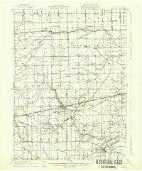
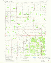
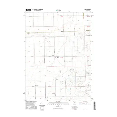
 1951 Berkey1952 Print · USGSThis Lucas County landscape in the early fifties shows a rural community defined by family farms and the Michigan-Ohio border. Genealogists can locate family landmarks like the Wolfinger Cemetery, Sharples Church, and schools like Mulberry School.3 unique versions available
 - 1956 Map of Toledo, 1968 Print
 1956 Toledo1968 Print · USGSNorthwest Ohio and the Lake Erie shoreline are shown in detail during the late fifties, showcasing a landscape of heavy industry, railroads, and island communities. Genealogists and historians can trace rail networks like the Chesapeake & Ohio RR or locate landmarks such as the Erie Proving Ground and Kelleys Island.4 unique versions available
 - 1961 Map of Toledo
 1961 Toledo1961 Print · USGSThe western basin of Lake Erie and the industrial heart of Northern Ohio are captured here during the post-war era. Researchers can trace historical rail lines like the New York Central or locate landmarks like the Erie Ordnance Depot and Pelee Island.
 - 1966 Map of Berkey, 1968 Print
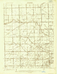
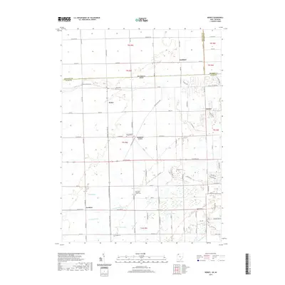
 1966 Berkey1968 Print · USGSThe Ohio-Michigan borderlands show their mid-century agricultural character in this detailed survey. Genealogists and local historians can trace family locations near Berkey, Richfield Center, and the Wolfinger Cem.2 unique versions available
 - 1986 Map of Toledo
 1986 Toledo1986 Print · USGSGreater Toledo and the Lake Erie shoreline are captured here in the mid-eighties, showcasing a massive network of industrial waterways and rail lines. You can trace the path of the Maumee River past Rossford or explore the conservation lands at Ottawa National Wildlife Refuge.2 unique versions available
 - 2011 Map of Berkey, 2011 Print
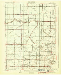
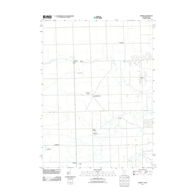 2011 Berkey2011 Print · USGSCovers Southland, including Whiteford Township, Berkey, and other nearby areas
 - 2013 Map of Berkey, 2013 Print
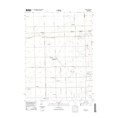 2013 Berkey2013 Print · USGSCovers Southland, including Whiteford Township, Berkey, and other nearby areas
 - 2016 Map of Berkey, 2016 Print
 2016 Berkey2016 Print · USGSCovers Southland, including Whiteford Township, Berkey, and other nearby areas
 - 2019 Map of Berkey, 2019 Print
 2019 Berkey2019 Print · USGSCovers Southland, including Whiteford Township, Berkey, and other nearby areas
 - 2023 Map of Berkey, 2023 Print
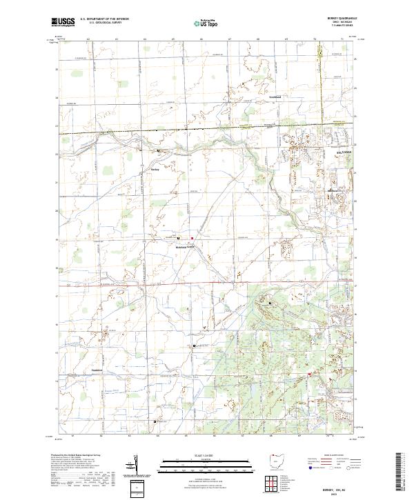 2023 Berkey2023 Print · USGSThe borderlands of Lucas County, Ohio, and Michigan are captured here in the early twenty-first century as suburban growth meets long-standing farmstead tracts. Genealogists can locate family sites near Richfield Center or trace early burial grounds like Wolfinger Cem and Sharples Cem.
End of results
Showing maps 1-14 of 14
Top cities near Southland
- Toledo historical maps
- Bedford Township historical maps
- Perrysburg historical maps
- Sylvania historical maps
- Maumee historical maps
- Lambertville historical maps
See more
Frequently asked questions
- What are the different types of historical maps available for Southland?
- What is the oldest map of Southland?
- Where can I purchase historical maps of Southland for my home or office?
- Where can I download high-res historical maps of Southland?
- Are there historical topographic maps available for Southland?
- Is there historical aerial imagery available for Southland?
- Where are historical maps of Southland sourced from?