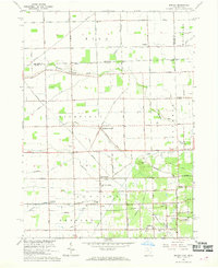
1966 Map of Berkey
USGS Topo · Published 1968About this map
The village of Berkey sits near the Lenawee Co Lucas Co line in this mid-1960s study of the Ohio-Michigan borderlands. The landscape is defined by a dense grid of agricultural roads, such as Yankee Road and Sylvania Avenue, supporting a network of small rural crossroads and community institutions. Significant landmarks include Raab Corners, where the Immaculate Conception Sch is located, and the settlement of Richfield Center. In the southeast, the landscape transitions toward recreation and conservation at Secor Park and the Glengary Country Club. Numerous ditches, including Wolfinger Ditch, reflect the region's historical drainage efforts to reclaim fertile farmland from the surrounding marshy terrain of the Great Black Swamp's western edge.
Find a feature on this map
46 named features on this map. Tap any name to fly to it.
Don’t see what you’re looking for? This feature index may not catch every label — zoom into the map to look around manually.
Map Details
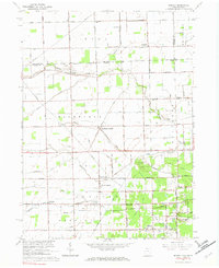
Editions of this 1966 Berkey Map
2 editions found
Other maps of this area

1900 · Toledo
USGS Topo · 1:62,500

1911 · Swanton
USGS Topo · 1:62,500

1912 · Dundee
USGS Topo · 1:62,500

1914 · Swanton
USGS Topo · 1:62,500

1926 · Dundee
USGS Topo · 1:62,500

1935 · Whitehouse
USGS Topo · 1:24,000

1935 · Maumee
USGS Topo · 1:24,000

1935 · Berkey
USGS Topo · 1:24,000
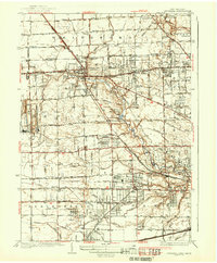
1937 · Sylvania
USGS Topo · 1:31,680
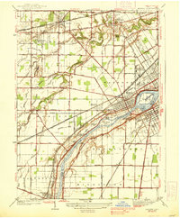
1938 · Maumee
USGS Topo · 1:31,680