
1935 Map of Berkey
USGS Topo · Published 1935About this map
Ten Mile Creek meanders through this agricultural section of Lucas County, where the infrastructure of the mid-1930s reveals a transition from rail-dependent transport to highway travel. The Toledo and Western Electric Railway and the Edison Transmission Line Company corridors cross the landscape, connecting small hubs like Berkey and Allen Junction. This survey captures the distinct township layout of Richfield, characterized by a dense network of drainage ditches such as Webster Ditch and Lathrop Ditch, which were vital for maintaining the farmable Prairie lands. Rural life is anchored by local institutions including Richfield Center Sch, St Elizabeth Sch Richfield Center, and Immaculate Conception Sch. The map also preserves the boundary of the Twelve Mile Reservation, providing a link to early regional land divisions near the Michigan border.
Find a feature on this map
113 named features on this map. Tap any name to fly to it.
Don’t see what you’re looking for? This feature index may not catch every label — zoom into the map to look around manually.
Map Details
Editions of this 1935 Berkey Map
This is the sole edition of this map. No revisions or reprints were ever made.
Other maps of this area

1900 · Toledo
USGS Topo · 1:62,500

1911 · Swanton
USGS Topo · 1:62,500

1912 · Dundee
USGS Topo · 1:62,500

1914 · Swanton
USGS Topo · 1:62,500

1926 · Dundee
USGS Topo · 1:62,500

1935 · Whitehouse
USGS Topo · 1:24,000

1935 · Maumee
USGS Topo · 1:24,000
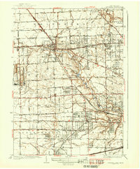
1937 · Sylvania
USGS Topo · 1:31,680
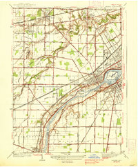
1938 · Maumee
USGS Topo · 1:31,680

1939 · Berkey
USGS Topo · 1:31,680